
Dirty Freehub

Photo by: Kevin English
Featured Route:

Old Yellowstone Trail

5 Star (Premiere) Route
Gardiner, Montana
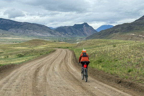
This 16 mile gravel route takes you along a small, but mighty, section of the historic Yellowstone Trail. You will be immersed in the Greater Yellowstone ecosystem, with potential sightings of elk, Pronghorn, and wild sweeping vistas.
Wildlife Impact
Yes, we do have an impact on wildlife when we ride! Learn how to minimize your impact.
Learn More!

Explore Gravel Routes by Region

Arizona Gravel Routes
Arizona
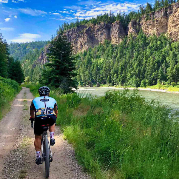
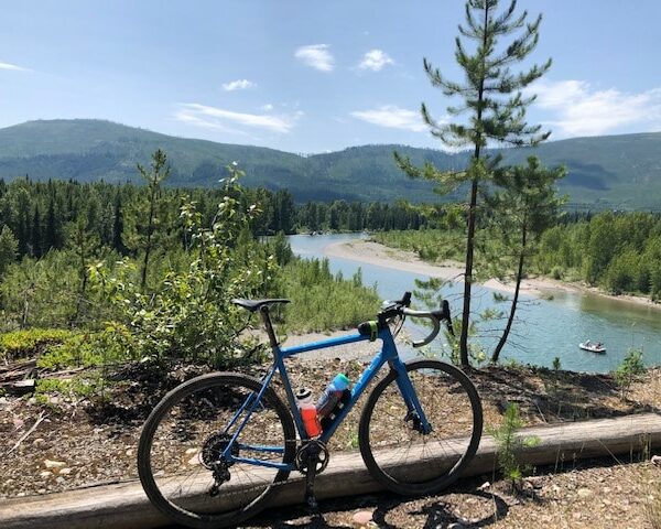
Gravel cyclist along river.
British Columbia
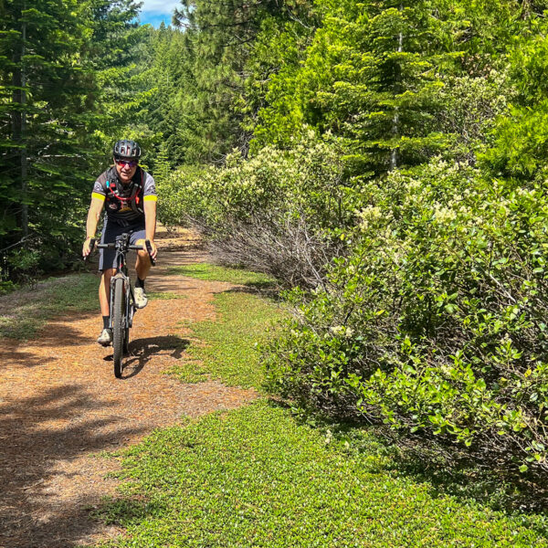
Gravel cyclist on dirt path in forest.
California (North)
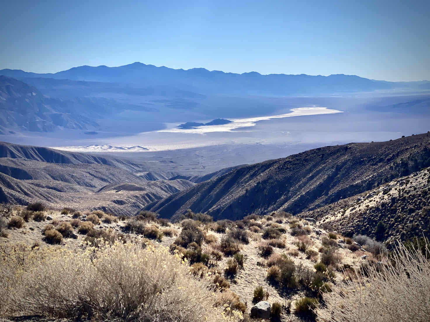
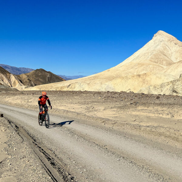
Gravel Cyclist riding along Twenty Mule Team road in Death Valley, California.
California (South)
Gravel cyclist on dirt road in Colorado.
Colorado
Idaho Gravel Routes
Idaho
Montana Gravel Routes
Montana
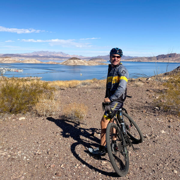
Gravel cyclist overlooking Lake Mead, Nevada.
Nevada
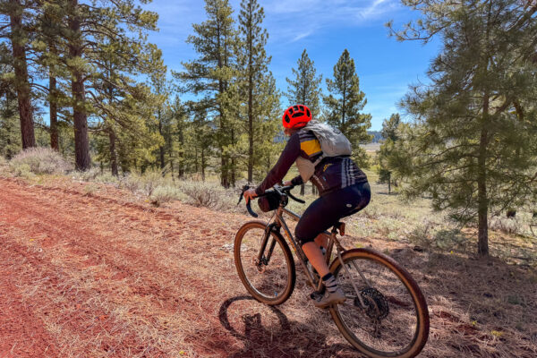
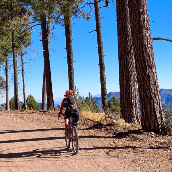
Gravel cyclist riding through New Mexico forest of trees.
New Mexico
Oregon Gravel Routes
Oregon
Tasmania Gravel Routes
Tasmania
Utah Gravel Bike Routes
Utah
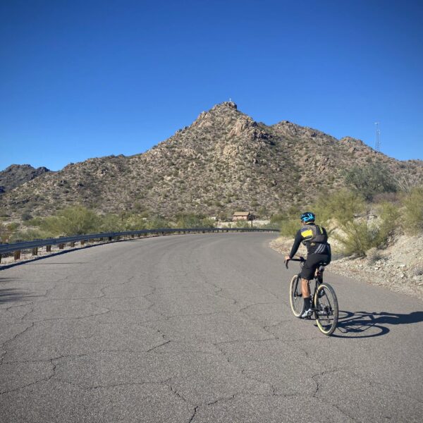
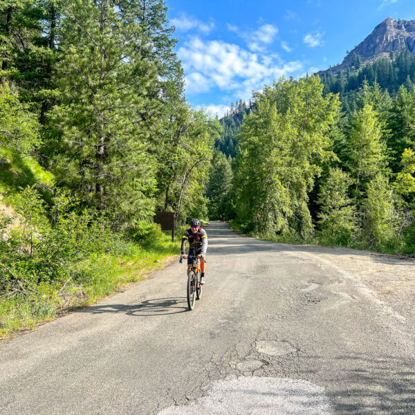
Gravel cyclist riding rough paved road in Washington state.
Washington

Ride great gravel routes! / 14,000+ miles!

Gravel cycling is our passion. We provide free, five-star, hand-curated gravel ride guides across the Western United States and Tasmania (with a big focus on Oregon and Arizona.) All so you can connect to where you ride … and learn about the culture, history and environment. We hope to inspire you to get more involved!

We do this out of our love for exploration, community and giving back! We are a 501(c)3 non-profit organization. All of our content is free and open to the public. All that we ask is that when you use a Dirty Freehub ride guide, give us a shout-out in your social media posts or the other places you share content (like Strava) and provide a link back to the ride guide on Dirty Freehub.

And … if you think what we do is really cool, and you want to see more routes and ride guides developed, donating to the Dirty Freehub Project is one way you can make this happen.
Our Newest Gravel Routes

Old Yellowstone Trail

5 Star (Premiere) Route
Gardiner, Montana
This 16 mile gravel route takes you along a small, but mighty, section of the historic Yellowstone Trail. You will be immersed in the Greater Yellowstone ecosystem, with potential sightings of elk, Pronghorn, and wild sweeping vistas.
Route: Out & Back | 16 mi
Gain: 800 ft
Surface: 95% gravel, 5% paved
Technical Difficulty: Moderate
Locale: Rural
Options: Longer

McCool

5 Star (Quick Build) Route
~ Bend, Oregon
The ride meanders around Davis Lake and skirts past Wickiup Reservoir. Beyond the (mostly) easy and flowing miles, this route rewards you with some amazing wildlife viewing. We've spotted a mother wolf with pups, plus flocks of white pelicans mingling with seagulls. This area is also buzzing with bald eagles and ospreys thanks to the mix of shallow lakes, lava beds, and pine forest that makes up the terrain.
Route: Loop | 39 mi
Gain: 2,000 ft
Surface: ~ 90% gravel + dirt road / 10% paved
Technical Difficulty: Demanding
Locale: Remote
Options: Shorter, Longer

Scorpion Ridge

5 Star (Quick Build) Route
~ Detroit, Oregon
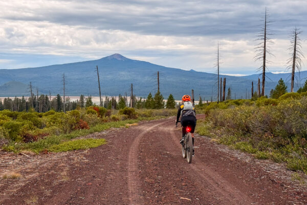
A loop around Scorpion Mountain, fist through classic west Cascades forest and then opening into a large burn area which provides big views of Mt Jefferson. After exiting the gravel, you finish with a long paved section starting in the burn and descending down to the Breitenbush River.
Route: Lollipop | 41 mi
Gain: 4,000 ft
Surface: ~ 45% gravel / 55% paved
Technical Difficulty: Moderate
Locale: Remote
Options: Shorter

Conductor Willy

5 Star (Quick Build) Route
~ Eugene, Oregon
Follow the railroad line from Westfir to Lowell as this route hugs the shores of Lookout Point Lake before tracing the Middle Fork of the Willamette River. Winding through classic western Cascade forest, you'll ride beneath towering trees and past lush ferns and tangled vines. Expect a fun mix of twists, rolling hills, and five railroad crossings.
Route: Out & Back | 35 mi
Gain: 2,000 ft
Surface: ~ 85% gravel, 15% paved
Technical Difficulty: Easier
Locale: Remote
Options: Longer

Suttle Wizard

5 Star (Quick Build) Route
~ Sisters, Oregon
A mellow gravel adventure packed with some of the best scenery in Central Oregon. Ride past Mt. Jefferson, the Metolius River, Wizard Falls Fish Hatchery, Suttle Lake, Lake Creek, and towering ponderosa pines.
Route: Loop | 27 mi
Gain: 1,600 ft
Surface: 25% gravel road, 20% trail, 55% paved
Technical Difficulty: Easier
Locale: Urban Backcountry

Geronimo Trail

5 Star (Quick Build) Route
~ Douglas, Arizona
The gist of the route is this: you start out with a gentle incline across open grasslands, then start to wind yourself up, up and up through a scenic canyon with loads of cottonwood trees, passing by Outlaw Mountain.
Route: Out & Back | 32 mi
Gain: 2,100 ft
Surface: ~ 100% gravel
Technical Difficulty: Easier
Locale: Remote
Options: Longer

Roaring Buffalo

5 Star (Quick Build) Route
~ Oakridge, Oregon
This remote forest ride combines smooth gravel roads, wildlife sighting opportunities, and solitude. Riders are rewarded with shaded forests, flowing creeks, and a long, enjoyable descent back to the finish. Keep an eye out for elk, deer, and owls. Spring / Early summer has a display of wildflowers.
Route: Loop | 40 mi
Gain: 3,500 ft
Surface: ~ 65% gravel, 35% paved
Technical Difficulty: Moderate
Locale: Remote

Opal

5 Star (Premiere) Route
~ Prineville, Oregon
You will like this route if you like: up gravel down pavement riding, beautiful forests with big trees, vista views of the rounded mountain tops of the Ochocos and few people. But before you hit the download, look at the hill profile closely. The route starts with a tough climb and ends with an even tougher climb. The roads are rugged, the area remote.
Route: Loop | 38 mi
Gain: 4,200 ft
Surface: ~ 75% gravel, 25% paved
Technical Difficulty: Moderate
Locale: Remote

Bull Prairie

5 Star (Premiere) Route
~ Lakeview, Oregon
On this gravel ride, explore the beauty of Bull Prairie with wide open skies, stunning views and a fun, no-brake finishing descent. We love this route for so many reasons. The wide open prairie, cinder red gravel roads that should be the next color for a Crayola Crayon. Black angus cows that perfectly decorate the landscape, huge ponderosa dripping in chartreuse wolf lichen. Frogs chirping in cold running streams.
Route: Tootsie Roll | 30 mi
Gain: 2,500 ft
Surface: ~ 25% gravel, 75% paved
Technical Difficulty: Easier
Locale: Remote
Options: Shorter, Longer

Dirty Aufderheide

5 Star (Premiere) Route
~ Eugene, Oregon
This route reimagines the classic Aufderheide as a mixed-surface adventure—building on the iconic classic road ride while pushing deeper into the surrounding mountains. It follows roughly 90% of the traditional Aufderheide route, periodically branching off onto remote Forest Service roads that climb high above the river corridors and into quieter, more rugged terrain. The result is a true backcountry experience.
Route: Loop | 124 mi
Gain: 11,100 ft
Surface: 33% gravel, 2% single-track, 65% paved
Technical Difficulty: Moderate
Locale: Remote
Options: Shorter, Credit Card Tour

Deschutes River Rambler (DR2)

Bikepacking Route
Central Oregon, Oregon
The Deschutes River Rambler (DR2) is a 300-mile bikepacking route that traces one of Oregon’s most iconic rivers from its source at Little Lava Lake to its confluence with the Columbia River. Following the Deschutes River as closely as possible—and on as much gravel as possible—the route winds steadily downstream through a remarkable cross-section of Central Oregon landscapes. From the cool forests of the Cascade Mountains, the Rambler rolls through volcanic plateaus and river-cut canyons toward the Warm Springs Reservation.
Duration: 3 Days
Route: Point to Point | 305 mi
Gain: 14,000 ft
Surface: 47% Gravel, 53% Paved
Technical Difficulty: Very Demanding
Locale: Extremely Remote
Options: Credit Card Tour, Bikepacking

Catching Blue

5 Star (Quick Build) Route
~ Coos Bay, Oregon
This ride is proof you don’t have to drive deep into the backcountry to get a true Oregon gravel experience. This loop slips out of town and onto a landscape shaped by water—dikes, sloughs, and farm ground reclaimed from the margins—before climbing deep into the forests on Blue Ridge.
Route: Lollipop | 23 mi
Gain: 2,300 ft
Surface: ~ 10% gravel / 90% paved
Technical Difficulty: Easier
Locale: Rural
Options: Longer

Sign Up for the Dirty Freehub Newsletter