
Bull Prairie
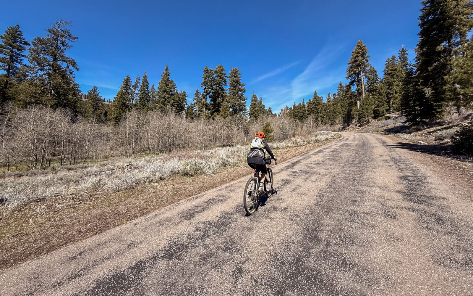














Caution! We do not provide turn-by-turn directions in our GPX files. Those are auto-generated by your bike computer and are usually less than 70% accurate. Learn more.
For help loading a GPX file onto your bike computer, go here.
DownloadHighlights & Remarkable Spots
Crane Mountain / ~ Mile 2.7
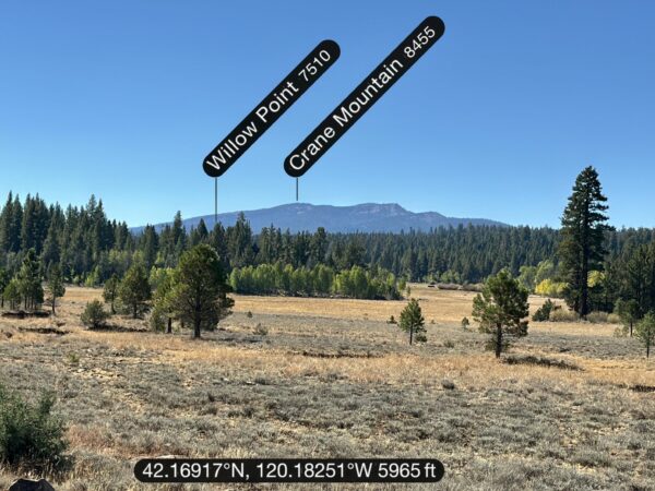
Crane Mountain, the tallest peak in Lake County, stands southeast of Lakeview and can be seen to the south from Drake Peak Lookout and along parts of the return route.
On its western side, overlooking Goose Lake, Crane Mountain reveals its two main rock types. The mountain is primarily composed of basalt, a dark volcanic rock. Beneath this basalt layer lies the John Day rhyolite tuff formation, a lighter-colored rock created from hardened volcanic ash. Both rock layers became visible when fault block movement tilted the formations, giving shape to the mountain.
Image, clickable.
Old Growth Juniper Stand / ~ Mile 3.0
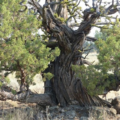
Juniper trees, known for the longevity and ability to grow in harsh environments, grow very slowly. Old growth junipers, which are relatively rare, can be distinguished by their twisted shapes, deeply furrowed and fibrous bark and the bright green lichen that grow on their branches. Old growth Junipers can be over a thousand years old.
Young Juniper trees can be invasive. The vast majority of Juniper trees are under 100 years old having expanded their range dramatically due to human causes. These young Junipers outcompete native grasses and brush for sunlight and water.
Give a listen to our podcast.
Quaking Aspen Grove / ~ Mile 3.5 to 3.8
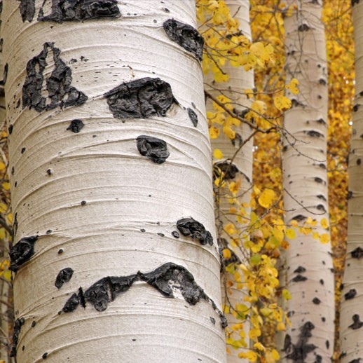
“Aspen groves are biological hotspots for wildlife. They draw in a lot of wildlife species,” says Amy Markus, wildlife biologist for the Fremont-Winema National Forest. “You find a greater diversity of wildlife species in aspen than in surrounding dry forest conifer landscape.”
On the Fremont-Winema, aspen stands are dwindling. In the seventeen years, Markus has been working in the forest, she has seen the decline.
“Our stands are quite small. With the lack of fire, conifers have become more dense and are crowding out the aspen,” she says. “We have probably lost several small stands.”
Bull Prairie / ~ Mile 5.5
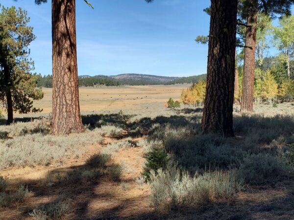
Scenic Bull Prairie comes into view early in the ride and is also visible from Drake Peak Lookout.
We are looking for more information on the history and heritage of this place. Please leave a comment if you have information to share. Thx!
Healthy Ponderosa Forest / ~ Mile 8.5
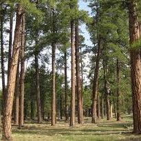
A healthy ponderosa pine forest generally consists of widely spaced individual trees. Older forests have 10 to 35 large trees per acre, with trunks wider than 50 inches.
In more resilient ponderosa pine forests, abundant light reaches the forest floor, which consists of grasses, short shrubs and few if any downed logs. Dead trees often remain standing providing habitat for birds and animals.
Old growth ponderosa forests have trees three to four hundred years old. These older trees lose their lower limbs protecting them from fires.
Credits & Acknowledgements
This route is funded in part by Travel Southern Oregon.

When We Like to Ride This
We really like this route in the spring time when the creeks are full and the flowers are in bloom. Fall can also be spectacular with the Aspen trees changing color.
Terrain & Riding
The Terrain
Forest, high mountain meadows. A mix of Junipers, Ponderosas and Doug-fir. Rabbitbrush, skunk cabbage, wolf lichen, and sage. Periodic vista views of mountains and valleys.
The Riding
From Camas Snow Park ride north on paved Forest Service Road 3615. The route begins with a 3.7 mile climb that averages 5% and has a maximum grade of 9.5%. The pavement is generally good but there are some large, deep potholes that should be remembered for the return descent.
After this initial climb the pavement levels out and you circle around Bull Prairie to the west. At mile 11.5 you re-connect with FS 3615. Take the pavement out to North Warner viewpoint riding through Ponderosa forest. At mile 17.5 you ride out to an open viewpoint on the edge of cliff overlooking Goose Lake Valley.
Return via the pavement. It rolls up and down until you begin the final, no brake descent at mile 26.5
The Start
Located 20 minutes northeast of Lakeview on Highway 140. A large parking area suitable for trailers and rv’s. There is also a restroom on the backside of the sno-park.
Route Notes
We recommend a red, blinking light with rear looking radar detector, like a Garmin Varia, for this ride.
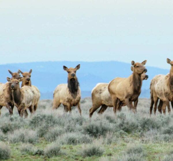
Wildlife may be seen during your ride. If big game animals are present please minimize your impact by stopping so the animals no longer feel like they are being chased. Be patient and wait for them to wander off. For more information on how we can minimize our impact on wildlife listen to Wildlife Impact with Amy Stuart.
At Bull Prairie you may encounter free range cattle and open grazing. If cows and bulls, give you scare take a look at our resource page on navigating around them safely. Note that “whooping and hollering” is not the way to get by cattle. All this does is create anxiety in the animals and ultimately unpredictable behavior.
As noted, we have rated this route a 3 out of 5 for aerobic demand.
Route Options
Shorter Option / Bull Prairie Lollipop Only
You can forgo the excursion to the North Warner viewpoint and do just the loop around Bull Prairie and return to the start. This is a proper lollipop route. 18 miles, 1600 feet of gain, 40% unpaved.
- Route Map: Bull Prairie (Lollipop only)
- GPX File: Download
Longer Option / With Drake Peak Lookout Addition
The Bull Prairie option paired with Drake Peak Lookout route is makes for a longer, more demanding ride, but super scenic. 41 miles, 4200 feet of gain, 45% unpaved.
- Route Map: Bull Prairie (with Drake Peak Lookout addition)
- GPX File: Download
Love Where You Ride! Learn More
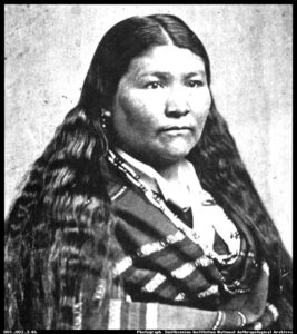 Fremont-Winema National Forest is named in part for Kaitchkona Winema, a Native American woman of the Modoc Nation. Winema served as an interpreter between the Modoc Nation and the United States Army during the Modoc War and was recognized by Congress for her courage in battle and for having saved a federal officer’s life.
Winema married Frank Riddle, a white miner from Kentucky, and both became important translators and mediators for the Modoc Nation and U.S. government agencies.
In 1872, the Modoc War began after more than 100 Modoc Nation members, unhappy with how the United States carried out treaty stipulations and tired of being forced to repeatedly resettle, left the Klamath Reservation. One group was led by Kintpuash, Winema’s cousin.
Winema served as a translator and mediator during negotiations between the Modoc and the U.S. Army, and she was present during a meeting that became violent and resulted in deaths. It was during this conflict that Winema saved the life of Alfred Meacham, Superintendent of Indian Affairs for Oregon. Oliver Applegate, a prominent figure in Oregon’s history, said of Winema, “She was courageous and intelligent, and had her counsel been taken, the bloody Peace Commission massacre would not have occurred.”
Meacham petitioned Congress to recognize Winema’s courage and her having saved his and others’ lives. In April of 1873, by a special act of Congress, Winema was granted a military pension of twenty-five dollars a month for service rendered.
Podcasts
Controversial Juniper Trees
The juniper tree is an iconic tree across Central and Eastern Oregon and yet, in some places they are being removed. Find out the real scoop about this unique tree from Gena Goodman-Campbell who is the Stewardship Director at ONDA (Oregon Natural Desert Association) where she works to engage [...]
Be Informed!
Keep it Local! Learn More
Ridden and Reviewed by:




Have you ridden this route? Got a question? Join the discussion!