
Scorpion Ridge
Closed due to the Austin and Narrows fire closure order (effective through Dec 31, 2026). See Notes & Options tab for more details.










Caution! We do not provide turn-by-turn directions in our GPX files. Those are auto-generated by your bike computer and are usually less than 70% accurate. Learn more.
For help loading a GPX file onto your bike computer, go here.
DownloadWhen We Like to Ride This
Late spring through early fall. Peak elevation is about 4600 feet.
Terrain & Riding
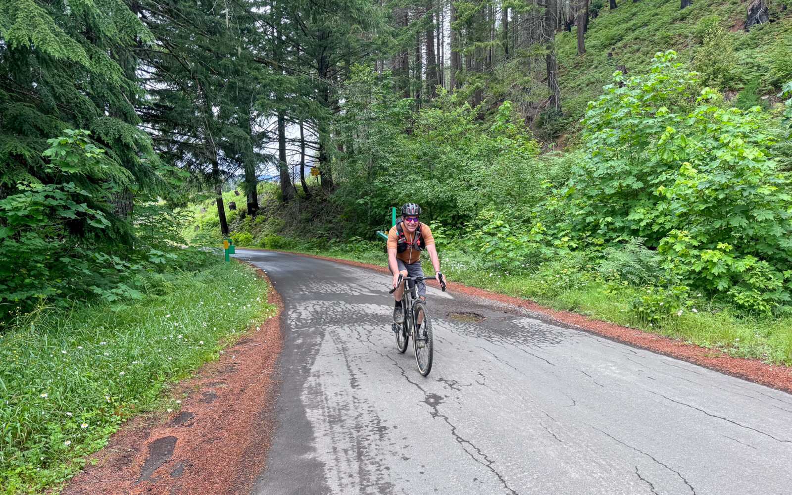
Classic west Cascades forest terrain and a significant sector through a recent burn area.
The Start
Paved day use parking area along the Breitenbush River.
Food & Water
- None
Route Notes
Note: the Austin and Narrows fire closure order has closed Forest Service roads along miles 10 to 24 of this route, and will remain in effect through December 31, 2026.
References:
(a) Closure Statement:
https://www.fs.usda.gov/sites/nfs/files/r06/mthood/publication/alerts/Austin-Narrows-Fire_Closure-Order-06-06-05-26-16.pdf
Route Options
Shorter
Start at the end of the stick of the lollipop. There is a makeshift dirt parking lot on FS 4696. This option is 33 miles and 3700 feet of gain.
- Start Lat/Long: 44.773396, -122.081780
Ridden and Reviewed by:



Have you ridden this route? Got a question? Join the discussion!