Dirty Freehub
Favorites Sign In Search
  • Search
  • Donate
  • Gravel Rides
    • Explore by Region
    • Explore by Route Type
    • Explore by Collection
  • Programs
    • All Access®
    • Dirty Roads Crew
    • Gravel Champs
    • Passport Challenge
    • Route Stewardship
  • Stories
    • Bike Life
    • Culture & History
      • Central Oregon
      • NE Oregon
      • Bend Trails
      • Death Valley
    • People & Places
    • Lands
      • Arizona
      • Central Oregon
      • NE Oregon
    • Love Where You Ride
  • Events
    • Rides, Races & More
    • Submit Your Event
  • Help
    • Route Types
    • The Route Development Process
    • How We Rate Routes
    • Using the Searchable Map
    • Loading a GPX File
    • GravelPlex Maps
    • Glossary
    • FAQs
  • About
    • The Team
    • Our Missions
    • Impact Reports
    • Jobs + Volunteer
    • Press
    • Sponsors
    • Contact Us
  • Store
    • Gravel Guides
    • Merch
  • Donate
  • Cart
  • Sign In
  • Favorites

Ringo

5 Star (Quick Build) Route / ~ Bend, Oregon / Published: Sep 2026 / Directions
Save to Favorites Remove from Favorites

Possible Seasonal Closure: Eagle Nesting — January 1 to August 31. See the Notes & Options tab for more details.
September 2026
Davis Lake in the distance.
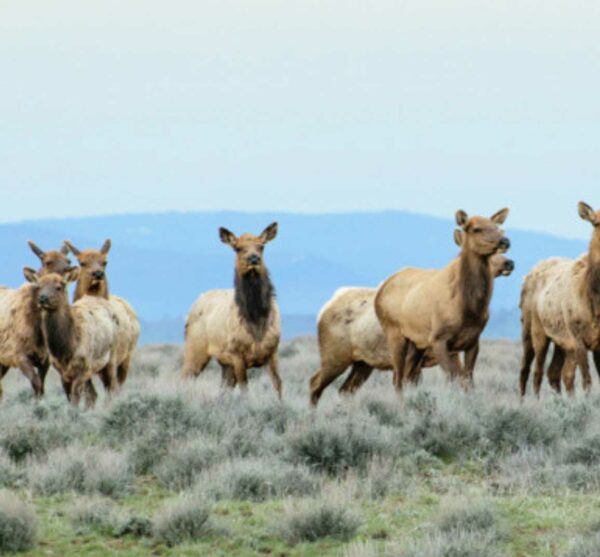
Eagle alley.
The lava flow.
Nearing the finish.
The parking area.
*
Route:
Loop | 20 mi
*
Gain:
1,500 ft
*
Surface:
~ 85% gravel + dirt roads / 15% paved
*
Technical Difficulty:
Moderate
*
Navigation:
Attention Required
*
Locale:
Remote
*
Tire Suggestion:
45 mm+
*
Options:
Longer

This is a route for those who want solitude without the commitment — a shorter, less remote, lower-risk route that still delivers big scenery, on mostly “good” gravel/dirt roads.

What we like: Views of Davis Lake and Maiden Peak, towering Ponderosa pines, exposed lava flows, and the ever-changing colors along the shores of Wickiup Reservoir — beautiful whether it’s full of water (springtime) or drawn way down (fall).

The route traces the edge of Wickiup Reservoir, skirts the west flank of Davis Mountain, then drops down to the east side of Davis Lake. Beyond the easy, flowing miles, this area is buzzing with bald eagles and ospreys thanks to the mix of shallow lakes, lava beds, and pine forest that makes up the terrain.

A bit of history: Davis Lake is named for “Button” Davis, a 19th-century Prineville stockman who grazed cattle in the area. Davis Mountain, rising above the lake’s east side, likely carries his name too.

If you’re looking for a longer, more challenging ride in the same area check out the McCool route.

Read More
Map
Brown = gravel / dirt road
Blue = single track
Red = paved road
Purple = paved bike path
GPX Download
(Version 1.0)

Caution! We do not provide turn-by-turn directions in our GPX files. Those are auto-generated by your bike computer and are usually less than 70% accurate. Learn more.

For help loading a GPX file onto your bike computer, go here.

Download

⚠️ GPX download won’t work in this browser

You’re viewing this in Facebook’s built-in browser, which blocks GPX file downloads. To download the file, use either of these options:

  • Tap the ••• (or ≡) menu in the top corner of the screen and select Open in External Browser.
  • Open the route guide directly in Chrome or Safari.

Once the route guide is open in your browser, tap the GPX Download button again.

Got it
Learn More
Ride Details

When We Like to Ride This

Jan
Feb
Mar
Apr
May
Jun
Jul
Aug
Sep
Oct
Nov
Dec
Not Rideable
Possibly Rideable
Rideable

Late spring through early summer, and fall. Two factors: (1) The route tops out at 5300 feet, thus the winter snows need to melt out before riding and (2) the route needs moisture in the ground, otherwise you will encounter soft and sandy conditions.

Terrain & Riding

Davis Mountain Sector / Mile 0 to 15
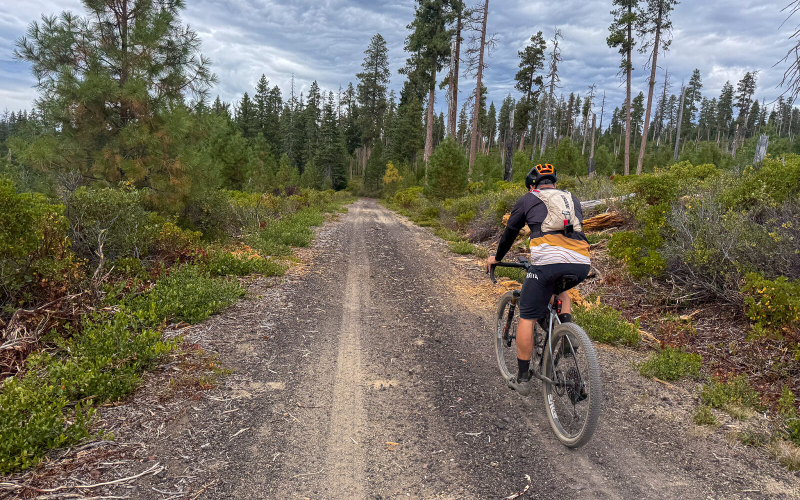
A forested sector that opens up about halfway through into a burn scar, offering distant but vivid views of Davis Lake. The forest is a mix of mature ponderosa pine and Douglas-fir, while the burn scar is dominated by manzanita. The roads are a mix of proper gray gravel roads and chunky volcanic gravel (about 6 miles).

This sector also has a gradual, two-stair-stepped climb. The first step is 3 miles and 550 feet with a maximum gradient of 6%. The second step is 2 miles and 375 feet of gain with a maximum gradient of 8%. The flattish runner sector between the steps is about 3 miles in length.

At mile 12.5, there is a hard 90-degree right turn onto Ring Road. It is a double-lane gray gravel road with explosive views of Davis Lake, Maiden Peak, and beyond. Depending on the season, the road can become washboarded, but there is usually a riding line with minimal washboard; you will just need to “hunt” for it a bit.

Eagle Alley Sector / Mile 15 to Finish
At the bottom of the hill and after a short paved section, turn right onto Eagle Alley. This is where the closure gate is. If posted with a wildlife closure, do not proceed; backtrack to Cascade Lakes Highway and ride that into the finish.

A red cinder road follows the shore of Davis Lake and is prime bald eagle habitat. Look, but don’t interfere. If you make the bird change its actions, you are too close.

At mile 18, you reconnect with Cascade Lakes Highway. Ride single file and enjoy the slight downhill back to the start.

The terrain is forested with big ponderosa pines and Douglas-fir trees, with peek-a-boo views of the lake and lava flows.

The Start

Road Side Pull Out
Lat / Long: 43.662585, -121.805705

When coming from the north on Cascade Lakes Highway, just after crossing Davis Creek, look for a small road to the left. It is a partially paved pullout.

Food & Water

  • None.
Notes & Options

Route Notes

  1. Possible Seasonal Eagle Closure — January 1 to August 31
    Portions of the Lava Flow area along the east/northeast side of Davis Lake are seasonally closed to protect nesting bald eagles. The closure normally runs from January 1 through August 31, reopening September 1. The closure does not necessarily encompass the entire east shore, so check current Deschutes National Forest postings before traveling through the area.

    If you encounter the gate at mile 15.3, use Cascades Lakes Highway as the return route back to the start.

    Every ride has an impact on wildlife, even when we don’t realize it. Please review our Wildlife Impact page to learn how to minimize your impact on ride day.

  2. We recommend a red blinky light with a rear-looking radar detector for the paved sectors of this route. Something like a Garmin Varia, Trek Car Back, or Wahoo Trackr Radar Tail Light.

Route Options

Longer
If you’re looking for a longer, more demanding ride but in the same general area check out the McCool route. 3900 miles, 2000 feet of gain.

Comments

Have you ridden this route? Got a question? Join the discussion!

This is a Quick Build Route Guide

A Quick Build route is a fully vetted Dirty Freehub route that meets the same high standards as our Premiere 5-Star routes. The difference isn’t the ride—it’s the route guide.

A Quick Build guide includes everything you need to confidently ride the route, but it doesn’t yet include all of the rich content found in a Premiere 5-Star guide, such as detailed ride stories, points of interest, local history, photography, community highlights, and expanded planning information.

Why do we publish Quick Build routes?

We’ve identified hundreds of exceptional 5-Star routes that deserve to be shared. Creating a full Premiere guide takes significant time and resources, and we don’t want great rides waiting behind a lengthy production process. By publishing Quick Build guides, we can make more outstanding routes available sooner while continuing to work toward their full Premiere editions.

Our goal is to upgrade every Quick Build guide into a Premiere 5-Star guide.

Why? Because a Premiere guide does more than help you navigate. It connects you to the places you ride—the landscapes, history, culture, businesses, and people that make each destination unique. Riders who engage with these stories are more likely to stay longer, explore more, and support local restaurants, lodging, bike shops, and other small businesses—creating a greater economic impact in rural communities.

Your donation makes that happen. Every contribution helps fund the writers, photographers, researchers, editors, and route specialists who transform Quick Build guides into immersive Premiere 5-Star guides.

If you believe in connecting people to great rides and strengthening rural communities, please donate today. Together, we can publish more world-class route guides and bring more exceptional gravel routes to riders everywhere.

Be Informed!

Wildlife Impact

Wildlife Impact

Learn about the impact we have as gravel cyclists on wildlife. And yes, we have an impact, more than we think or see.

Read More »

Ridden and Reviewed by:

LindaE (aka Gravel Girl)

LindaE (aka Gravel Girl) / Team Dirty Freehub

She loves a good day of gravel, like most people like a good book. She’s always amused by the outdoors and the wild adventures. Gravel Girl is a Co-Founder of Dirty Freehub.

KevinE

KevinE / Team Dirty Freehub

He should have “Never Stop Exploring” tattooed on his chest! He loves adventures on bikes and is a Co-Founder of Dirty Freehub.

Explore Similar Routes:

Bend Shorts Bird Watching Rivers

Sign Up for the Dirty Freehub Newsletter

info@DirtyFreehub.org
Terms of Service Privacy EEO Policy Our Values
Dirty Freehub is 501(c)3 non-profit organization.
©2026 Dirty Freehub :: Website Design
Cleantalk Pixel

WHY WE’RE DIFFERENT!

Eight scouting rides. Two community rides. More than a dozen mapped variations.

We just published the McCool route—but getting it ready took time. We rode it again and again, tested multiple options, and refined every mile before publishing it.

That’s the Dirty Freehub difference: routes that are vetted, curated, and maintained. If you value that kind of fieldwork, please support Dirty Freehub with a donation.

Donate Today