
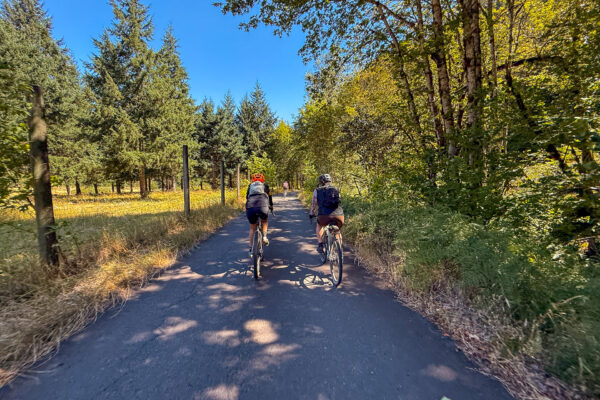
Conductor Willy
5 Star (Quick Build) Route
~ Eugene, Oregon
Follow the railroad line from Westfir to Lowell as this route hugs the shores of Lookout Point Lake before tracing the Middle Fork of the Willamette River. Winding through classic western Cascade forest, you'll ride beneath towering trees and past lush ferns and tangled vines. Expect a fun mix of twists, rolling hills, and five railroad crossings.
Route: Out & Back | 35 mi
Gain: 2,000 ft
Surface: ~ 85% gravel, 15% paved
Technical Difficulty: Easier
Locale: Remote
Options: Longer

Deschutes River Rambler (DR2)
Bikepacking Route
Central Oregon, Oregon
The Deschutes River Rambler (DR2) is a 300-mile bikepacking route that traces one of Oregon’s most iconic rivers from its source at Little Lava Lake to its confluence with the Columbia River. Following the Deschutes River as closely as possible—and on as much gravel as possible—the route winds steadily downstream through a remarkable cross-section of Central Oregon landscapes. From the cool forests of the Cascade Mountains, the Rambler rolls through volcanic plateaus and river-cut canyons toward the Warm Springs Reservation.
Duration: 3 Days
Route: Point to Point | 305 mi
Gain: 14,000 ft
Surface: 47% Gravel, 53% Paved
Technical Difficulty: Very Demanding
Locale: Extremely Remote
Options: Credit Card Tour, Bikepacking
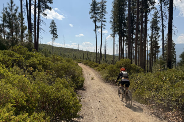
McCool
5 Star (Quick Build) Route
~ Bend, Oregon
The ride meanders around Davis Lake and skirts past Wickiup Reservoir. Beyond the (mostly) easy and flowing miles, this route rewards you with some amazing wildlife viewing. We've spotted a mother wolf with pups, plus flocks of white pelicans mingling with seagulls. This area is also buzzing with bald eagles and ospreys thanks to the mix of shallow lakes, lava beds, and pine forest that makes up the terrain.
Route: Loop | 39 mi
Gain: 2,000 ft
Surface: ~ 90% gravel + dirt road / 10% paved
Technical Difficulty: Demanding
Locale: Remote
Options: Shorter, Longer
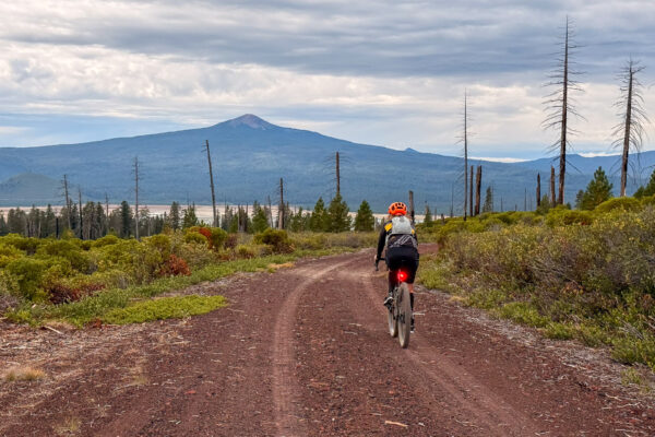
Ringo
5 Star (Quick Build) Route
~ Bend, Oregon
The ride meanders past Wickiup Reservoir along the Western shoulder of Davis Mountain before dropping down to the shores of Davis Lake. This area is buzzing with bald eagles and ospreys thanks to the mix of shallow lakes, lava beds, and pine forest that makes up the terrain.
Route: Loop | 20 mi
Gain: 1,500 ft
Surface: ~ 85% gravel + dirt roads / 15% paved
Technical Difficulty: Moderate
Locale: Remote
Options: Longer

