
O’Leary Landslide Loop














Caution! We do not provide turn-by-turn directions in our GPX files. Those are auto-generated by your bike computer and are usually less than 70% accurate. Learn more.
For help loading a GPX file onto your bike computer, go here.
DownloadWhen We Like to Ride This
We really like this route late spring / early summer when the flowers are in bloom and the creeks and rivers are running full. Note, this route tops out at just over 5000 feet, with a significant amount on north facing slopes. Thus, it carries snow well into late spring.
Terrain & Riding
The Ride
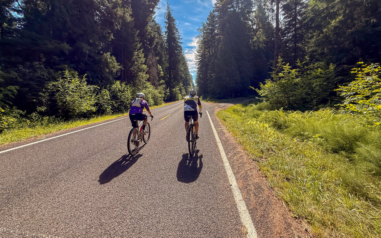
After a short warm-up, the ride attacks a demanding and majestic climb of 3500 feet in 10 miles. For 6 of those 10 miles the grade is always between 6 to 12 %. The ride surface varies from chip seal to short sections of gravel, to a decommissioned road more resembling a trail (the 10% trail), and broken tarmac (the Roubaix). Expect occasional rockfall and fallen trees. You will also have to “hike a bike” for across several old landslides.
The higher you climb, the better the views become. In fact we would say, this route has some of the best, if not the best, views of the Cascades from the west.
At ~ mile 17 you leave the pavement behind. At times the gravel is course and deep, but it is mostly fine and fast. The ride rolls for several miles and then begins a nearly 10-mile descent, all on gravel, to Cougar Reservoir. At the bottom of the descent veer right ~20 yards to the boat ramp and go for a swim. Now traverse around the reservoir in a clockwise direction taking in all its beauty. Then a quick descent down to Belknap covered bridge and the McKenzie River. Your almost home!
The Terrain
The terrain is characterized by dense, moist coniferous forests, steep slopes, volcanic features, and alpine meadows, creeks and rivers. Mountain hemlock and Douglas-fir dominate with an understory of rhododendron, vine maples, grasses and sedges. Seasonal wildflowers include lupine, paintbrush, and penstemon.
The Start
Before parking here, please ask the store staff. Ask where to park, tell them your riding plan, and also assure them that you will be having lunch after the ride.
An alternative is to park at the McKenzie River Ranger Station, 2 miles east on Highway 126 where there are flush toilets and water.
Lat / Long: 44.179634, -122.116127
2 miles east of the McKenzie General Store on Highway 126. Flush toilets and water.
Lat / Long: 44.169916, -122.225178
Dirt parking lot. No services. Day use only.
To connect with the original route, cross the Rainbow Covered Bridge and continue east on King Road until you rejoin the original route at mile 1.6. This alternate approach avoids all highway sections.
Food & Water
- ~ Mile 38.5: Slide Creek Campground
Route Notes
Caution: Miles 5 and 10 follows a decommissioned road with no vehicle access due to several landslides and fallen trees.
Travel through this area requires navigating rocky landslides, and you will need to carry (carry, not push!) your bike for several short stretches of 20 to 30 yards. An injury, such as a twisted or broken ankle, could make self-rescue difficult and result in an extraction taking several hours or more.
We strongly recommend riding with others, carrying a personal emergency communication device such as a Garmin inReach, and having solid navigation skills. Among all routes published on the Dirty Freehub platform, this section presents one of the highest levels of objective risk.
Not recommended for e-bikes. The landslide hike-a-bike and bike-carry sections are extremely difficult with the added weight of an e-bike. In several places, you’ll need to lift your bike to waist or shoulder height to get through obstacles.
We recommend riding this route (and all ride options in the direction as mapped, clockwise). It gives the best views of the Cascades and it makes the climbing a bit easier.
Route Options
Shorter
(1) Swimming Hole Bailout. At mile 33.5, at the swimming hole, you can go right and circumnavigate the lake to the east and reconnect with the original route at mile 46. Use Forest Service road 1993. 45 miles / 5000 feet of gain.
(2) Horse Creek Option. At mile 18 go left instead of continuing straight. This option will descend a steep gravel road (gradients up to 12%) and then parallel Horse Creek. 32 miles / 4000 feet.
- Route: O’Leary Landslide Loop (Horse Creek Option)
- GPX File: Download




Have you ridden this route? Got a question? Join the discussion!