
GravelCracker (The Classic)
This route is near the 2026 fires. See the Notes section for the impact of the 2026 fires.





















Caution! We do not provide turn-by-turn directions in our GPX files. Those are auto-generated by your bike computer and are usually less than 70% accurate. Learn more.
For help loading a GPX file onto your bike computer, go here.
DownloadThis is a new feature, and it will become a paid feature in the future as we pursue membership.
Open Ride With GPSHighlights & Remarkable Spots
Black Butte / ~ Miles 9 to 15
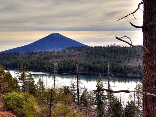
Rising to 6,436 feet, Black Butte stands above the Metolius Basin as a natural sentinel. Its volcanic origins are ancient—the butte last erupted roughly 0.4 to 1.4 million years ago—but its more recent story is rooted in wildfire.
By the early 1900s, Black Butte’s prominence made it a key site for early fire detection in Central Oregon. The first lookout structures were simple and exposed, but they offered sweeping views across the Cascades and into the High Desert. As fire management evolved, these early platforms gave way to more permanent buildings and towers. The current Black Butte Lookout, built in 1995, is still active and manned today, watching over the forests below.
Metolius River / ~ Miles 17 - 18
The name Metolius comes from a Warm Springs Sahaptin word meaning “white fish,” a reference often linked to the pale Chinook salmon that once moved through these waters.
Just south of Camp Sherman, the river begins in an unusual way, emerging from the ground almost fully formed. Beneath the volcanic flanks of Black Butte, groundwater stored deep within the Cascade Range surfaces as two large underground springs join to create the Metolius River. Because the river is spring-fed, its character is remarkably stable—flowing at roughly 1,460 cubic feet per second and holding an average temperature of 48°F year-round. [Ref: Oregon Encyclopedia]
Camp Sherman / ~ Mile 18

When was the last time you shopped in a general store that’s been operating for over 100 years? Now’s your chance! Camp Sherman “came about in the early 1900’s, when wheat farmers from Sherman County sought out the land as a refuge from the intense summers. They found the river refreshing and relaxing. They nailed up a sign – made from a shoe box top – designating the area as Camp Sherman.” [AllBendOregon.com]
Lake Creek / Miles 20 to 22
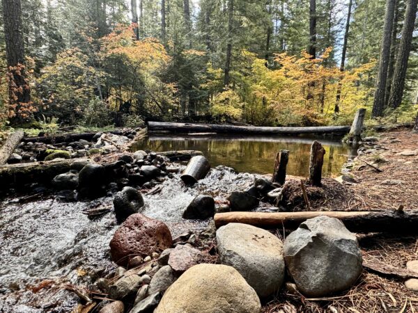
Lake Creek is the outlet of Suttle Lake and a tributary of the Metolius River.
Chinook and sockeye salmon were once abundant here, but their migration was cut off in the mid-1950s when dams blocked access to upstream habitat. After more than fifty years, restoration and reintroduction efforts—most notably a fish passage project completed in 2013—reopened the connection between Suttle Lake and the Columbia River (via the Deschutes and Metolius Rivers), allowing migrating fish to return to their ancestral spawning grounds.
Suttle Lake / ~ Mile 23
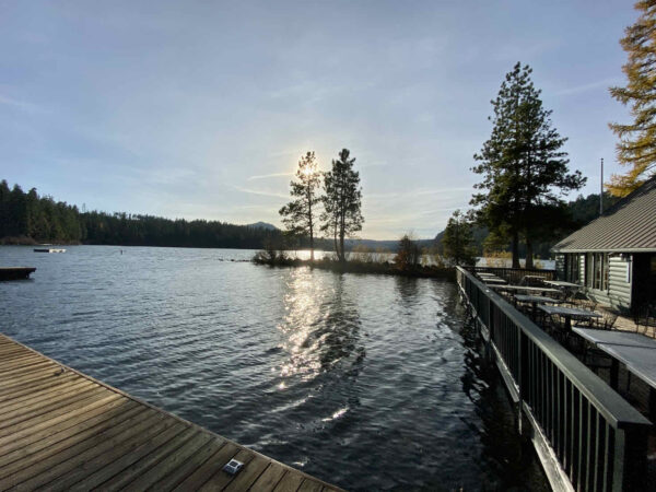
This lake owes its existence to ice. Around 25,000 years ago, a glacier advanced through this landscape, scraping up rocks, gravel, sand, and soil like a slow-moving bulldozer. When the glacier reached its farthest point and began to melt, it dropped all that debris in a single ridge called a terminal moraine. That ridge became a natural dam, blocking water from draining away. As meltwater and precipitation collected behind it, a lake gradually formed. The lake covers 253 acres. The lake’s average depth is 44 feet, with a maximum depth of 75 feet. [Deschutes National Forest]
Black Butte Ranch / ~ Mile 30
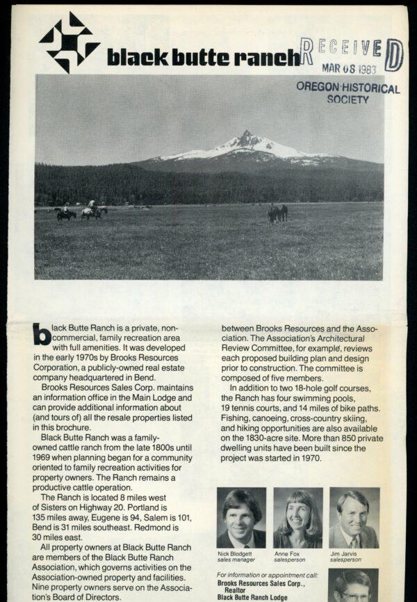
The land now occupied by the Black Butte Ranch resort was an operating horse and cattle ranch as early as the 1880s. Once a thriving lumber town, Sisters fell into decline with the closure of the lumber mills in the 1960s. Brooks Resources, having purchased the ranch land in 1969, saw an opportunity to create a resort that would spur Sisters’ local economy through tourism. When they “began developing the Ranch, they offered merchants in Sisters $5,000 and free architectural help to create a ‘theme’ look to the town. The Sisters planning commission adopted an 1880s theme, which improved the town’s attractiveness and returned it to its original roots.” The homeowner’s association now owns and manages the property which includes golf courses, tennis courts, swimming pools, restaurants, and a general store. [Black Butte Ranch]
GW Fire of 2007 / ~ Mile 31.5
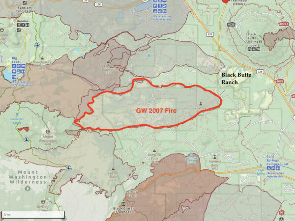
Over Labor Day weekend of 2007, 1,000 residents of Black Butte Ranch were evacuated and their homes threatened by a wildfire that ultimately was extinguished safely. “The GW Fire was stopped only a 1/2 mile west of Black Butte Ranch, thanks, in part, to a fuels treatment designed to restore a ponderosa pine stand and reduce the threat of wildfire in the wildland urban interface. Over the course of several years, fuels specialists from the Deschutes National Forest thinned and burned the area just west of Black Butte Ranch, creating a healthier stand of trees and a more open site that was less capable of supporting a crown fire.” [US Forest Service]
Historic McKenzie Highway / Miles 36.5 to 42 (finish)
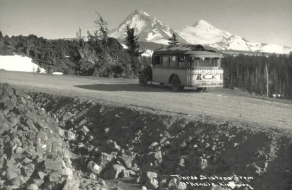
The McKenzie Highway was originally built with private funds in the 1870s as a wagon toll road. The section between the towns of Blue River in Lane County and Sisters in Deschutes County (which includes the project area) became a Forest Road in 1919. The road was relocated and widened in 1920, graded and surfaced between 1920 and 1924, and became an Oregon State Highway in 1925.
The McKenzie Pass Highway became a seasonal scenic highway in 1962 with the building of the new Highway 126 cresting Santian Pass. Even during its tenure as the main route between the southern Willamette Valley and Central Oregon, the narrow, twisting roadway and high elevation (5,325 feet) made the highway too difficult to maintain and keep clear during the winter months.
Credits & Acknowledgements
This ride guide was funded in part by a grant from the Deschutes Trails Coalition.

When We Like to Ride This
This is a “go-to” route for local riders. It rides well from early spring to mid summer and then again in late fall. In summer when it is dry and hot you can expect dusty and loose conditions along the way and deep moon dust (2 to 6 inches) on GravelCracker hill (~ miles 31 to 32). In general, it is a fantastic ride but for us, the mountain views always seem better when the peaks are snow-covered.
Terrain & Riding
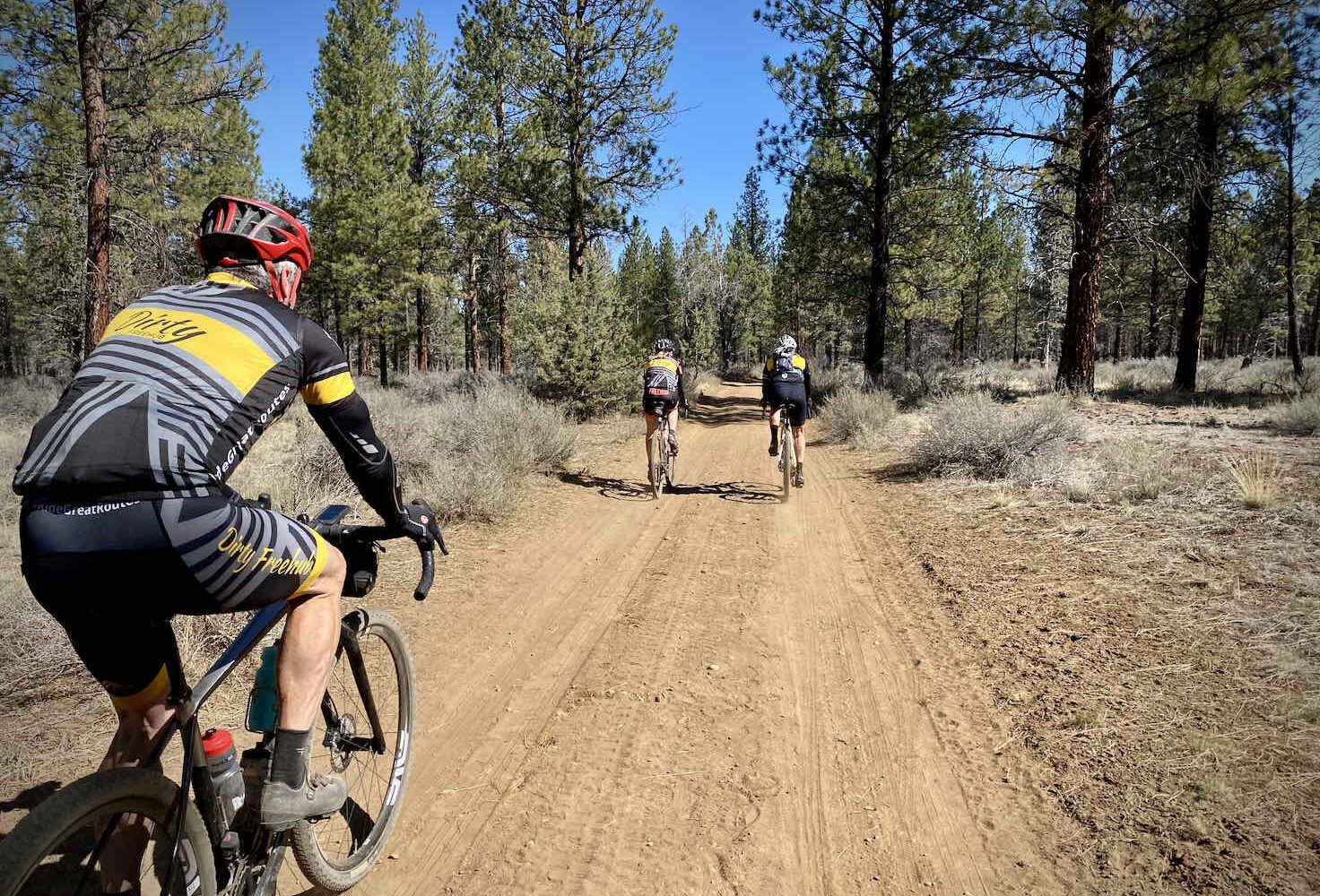
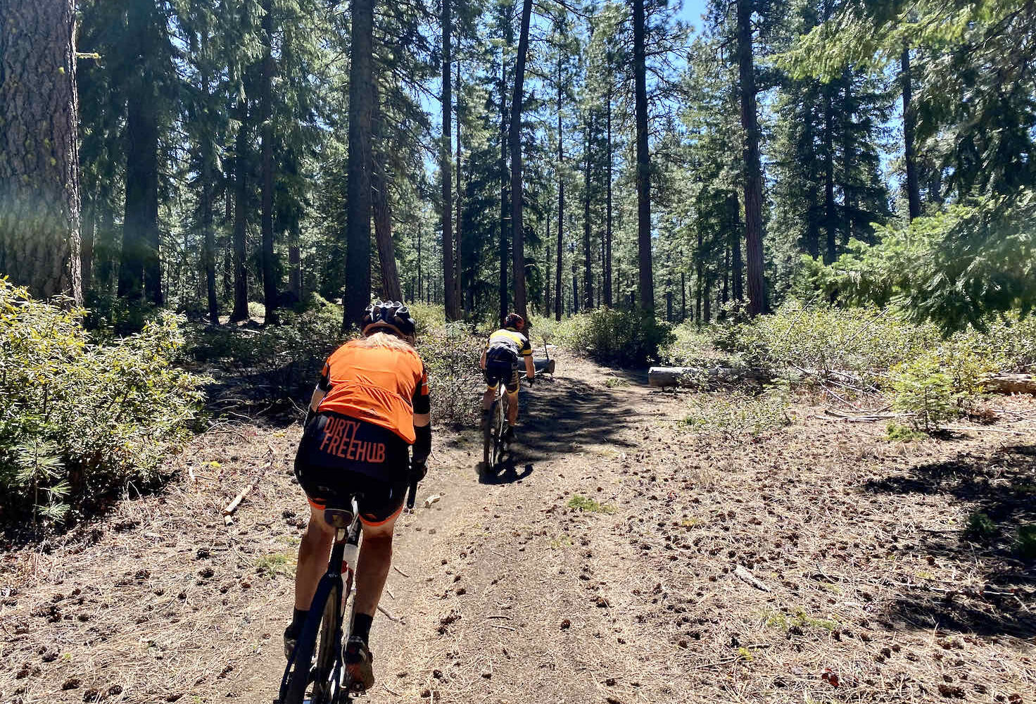
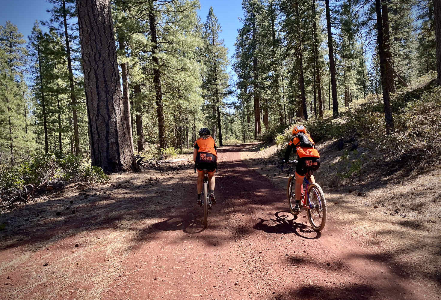
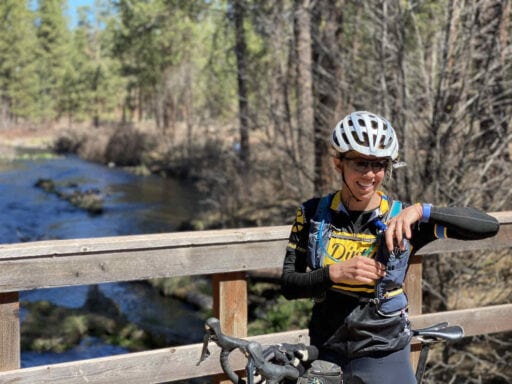
The ride begins with a ~ 9-mile single-track sector that winds its way among grasses, a few dirt roads, and some big red Ponderosa trees. This sector has some of the best drop bar singletrack in the area: flat, fast, firm, and with zero technical features. At mile 7.5, the navigation is a bit tricky. Follow the track closely on your GPS device. If you make a wrong turn or miss a turn, it will become obvious very quickly. The route follows along the campground’s southern edge, crosses a wooden bridge over a small creek, and then meets up with Indian Ford Road (paved) which you will cross.
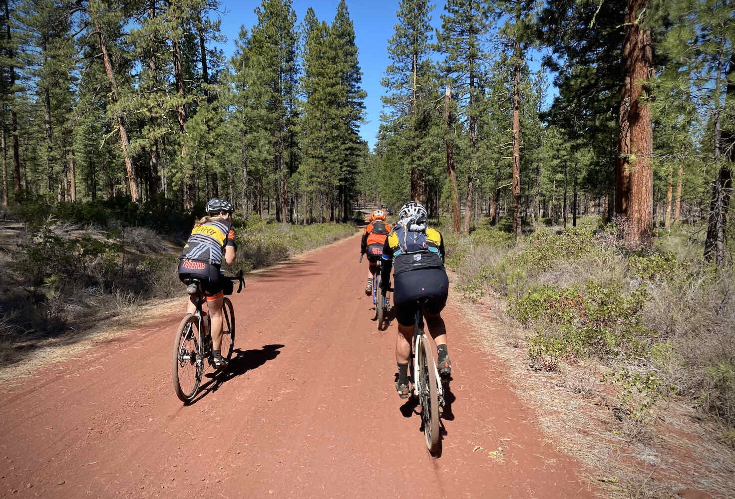
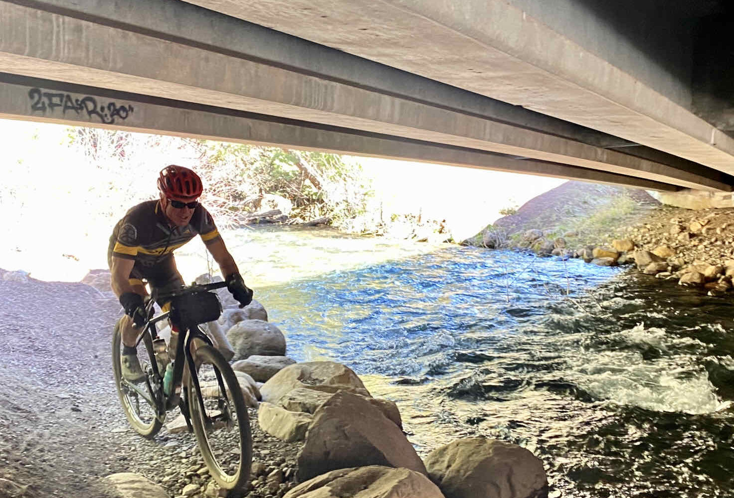
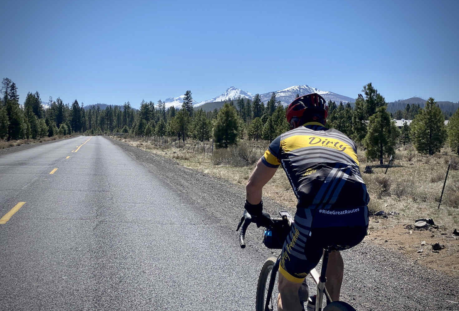
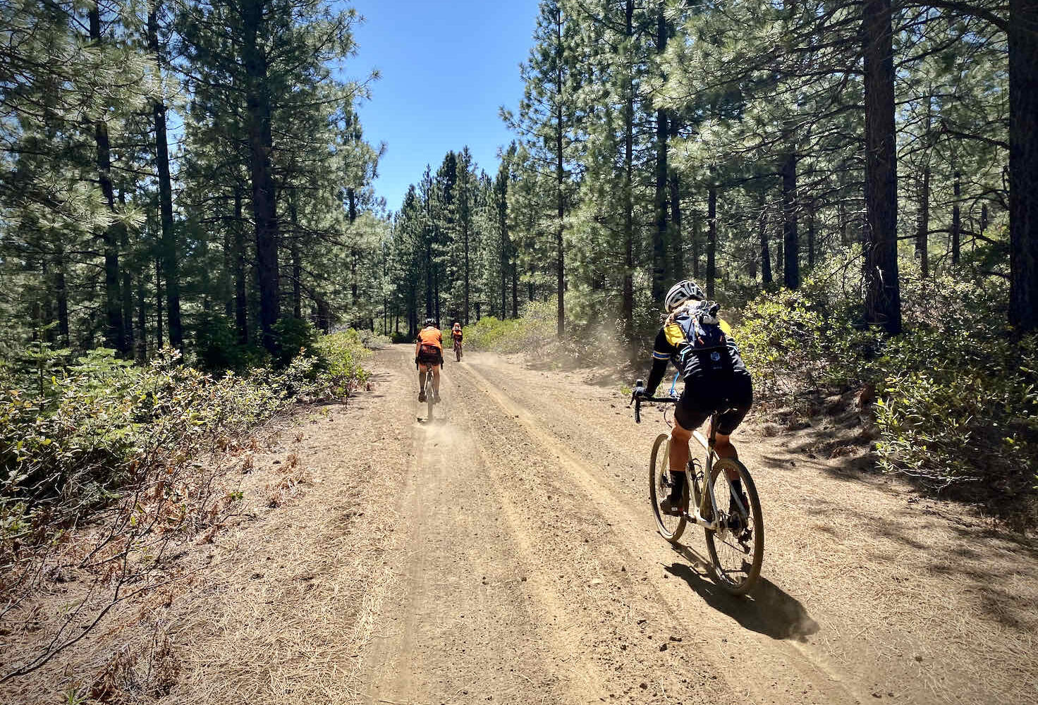
Miles 9 to 15 are happy face fun! A mostly rolling dirt road with some technical features and broken but stunning views of the Three Sisters, Mt. Washington, Three-Fingered Jack, and Mt Jefferson. You’ll ride cinder and gravel roads as you follow the Metolius river and head into Camp Sherman where you can enjoy cold drinks, sandwiches, and ice cream. You’ll hop on some pavement (a little) and singletrack (mostly) between miles 18 and 23, you’ll head slightly uphill with the steepest incline near the end. Around this area, there are a couple of tricky turns. Again, a wrong turn quickly becomes obvious and is easy to recover from. In general, stay left and do cross under the highway alongside the creek. At mile 23.5 cross Lake Creek, catch the Suttle-Sisters single-track to your left, a super fun ride!
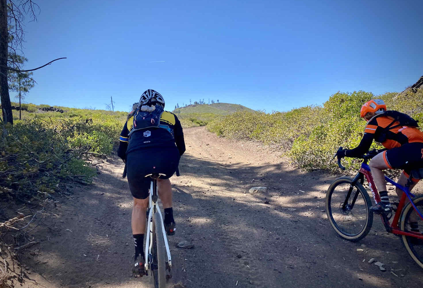
At around mile 31, you kick into GravelCracker Hill. It is about a mile long but it averages 7.5% over a loose base of gravel. It is completely exposed to the sun and elements. But don’t fret because after this, you get to reap the rewards of all your hard work with 10 miles of gentle downhill (paved for the last 5.5) back into Sisters.
The Start
Sisters Village Green City Park . Flush toilets, water, and showers.
Food & Water
- ~ Mile 19: Camp Sherman General Store (food and water). Seasonal.
- ~ Mile 23: Suttle Lake Lodge (food and water). Seasonal.
- ~ Mile 38: Cold Spring Campground (water). Seasonal
Route Notes
Fire update: the Forest Service has closed many of the roads in this area until Dec 31st, 2026 due to the impact of the fires. This should not include roads on this route. If you find out additional information, then add a note in the Comments section.
This route rides well in both directions.
We have had some feedback that the total elevation gain we list is under by several hundred feet. If you ride this as mapped, please leave a comment with what your total elevation gain was from your Garmin, Wahoo or similar device. Thanks!
Route Options
This route replaces the original GravelCracker 60 route. The original route:
- Did without the opening single-track sector, instead using Indian Ford Road (paved).
- Had loops around Round Lake and Suttle Lake. Those have been deleted
Click here for the original GravelCracker 60 GPX file.
Love Where You Ride! Learn More
 Trails don’t come for free! It takes time, talent, and money to develop great trails. The super fun drop-bar single-track trails on this route were developed and are maintained by the Sisters Trails Alliance. If you like what they have done, please consider making a contribution to their campaign or your local trails organization so that they can continue the great work!
Videos
The Ride! GravelCracker
A quick 2-minute video of what to expect on your ride!
Trail Etiquette (Horses, Hikers & Bikers)
Whether you like to hike, bike, or ride a horse, we all want to enjoy our trails safely. Learn how to share the trail respectfully!
Podcasts
Lake Creek Where Salmon Now Run!
Lake Creek is an important tributary that runs into the Metolius River which is vital to salmon and trout habitat. Lake Creek is located near Camp Sherman in Central Oregon and is very popular with many Dirty Freehub routes. Learn about the restoration efforts of the creek with Brad [...]
Keep it Local! Learn More

Ridden and Reviewed by:


- Route Views: 9,263
- Route Downloads: 680


Have you ridden this route? Got a question? Join the discussion!