
Motown














Caution! We do not provide turn-by-turn directions in our GPX files. Those are auto-generated by your bike computer and are usually less than 70% accurate. Learn more.
For help loading a GPX file onto your bike computer, go here.
DownloadHighlights & Remarkable Spots
Town of Detroit / ~ Near Start
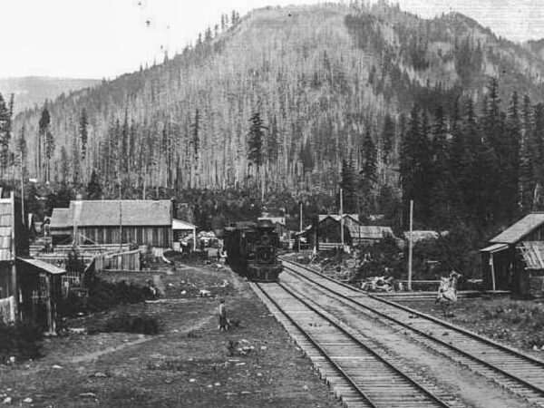
Long before Detroit Lake existed, Detroit began in 1889 as a work camp for the Oregon Pacific Railroad. The ambitious railroad was intended to cross the Cascades, but bankruptcy stopped construction just a few miles east of town. The railroad later became important for moving timber out of the Santiam Canyon.
Did You Know? Detroit’s post office was established in 1891, more than 60 years before the reservoir bearing its name was completed.
Detroit Lake / ~ Miles 0 to 6
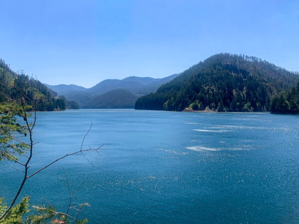
Detroit Lake may look like a natural Cascade lake, but it is actually a reservoir created when the U.S. Army Corps of Engineers built Detroit Dam between 1949 and 1953. The dam provides flood-risk management and hydropower, with the reservoir deliberately lowered during wetter months to make room for heavy rainfall and snowmelt. Its two generating units can produce up to 100 megawatts of electricity.
Did You Know? Creating Detroit Lake required relocating the entire town of Detroit. Nearly 200 residents moved to higher ground about a mile north as the original community disappeared beneath the reservoir.
Coffin Mountain / ~ Mile 9
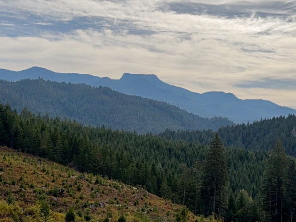
Did You Know? Coffin Mountain’s broad summit is essentially a surviving remnant of an ancient volcanic landscape that erosion has stripped away around it. A resistant cap of volcanic rock protected the summit while softer material around and beneath it was gradually worn away, leaving the distinctive tabletop profile visible today. That shape is likely what inspired the mountain’s memorable name. Coffin Mountain is part of the Western Cascades, an older and more deeply eroded volcanic landscape than the younger High Cascade peaks visible to the east.
Welded Volcanic Ash-Flow Tuff / ~ Mile 16.5X
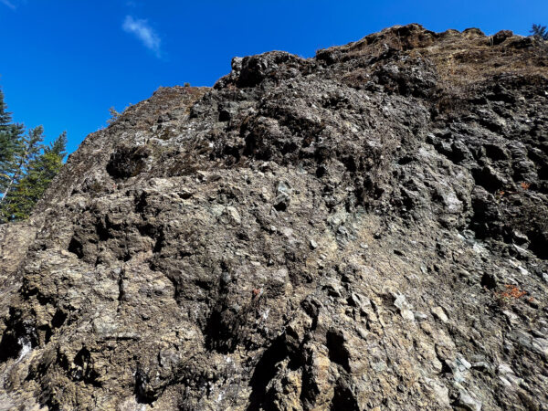
These rugged cliffs and outcroppings are remnants of explosive volcanic eruptions in the ancient Western Cascades. Hot clouds of ash, pumice and broken volcanic rock settled here and welded together, creating a hard, erosion-resistant rock composed largely of volcanic ash, plagioclase feldspar, pyroxene and fragments of andesite and dacite. The rocks in the Blowout Creek area are roughly 12–13 million years old. (Click on image for a closer view.)
Aspen Grove / ~ Mile 17
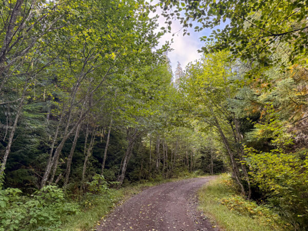
Quaking Aspen is the most widely distributed tree species in North America, yet it is surprisingly uncommon in western Oregon. Here, aspens occur in scattered pockets, making a grove tucked among the dark conifers of the Willamette National Forest an unexpected sight.
What looks like a grove of individual aspens may actually be one organism. Aspen commonly reproduces by sending new shoots, called suckers, upward from an interconnected root system. The resulting group of genetically identical trunks is known as a clone.
The Needles Basalt Towers / ~ Mile 19
Erosion can create a mountain by subtraction. Rather than being pushed upward, these rock towers were revealed over immense spans of time as weathering, streams, landslides, freeze-thaw cycles, and gravity gradually removed the weaker rock surrounding the more resistant volcanic formations.
Did you know: The Needles are part of the Western Cascades and are considerably older than nearby High Cascade volcanoes such as Mount Jefferson.
Mt Jefferson Viewpoint / ~ Mile 20
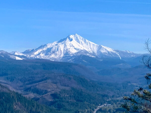
At 10,495 feet, Mount Jefferson is Oregon’s second-highest mountain, surpassed only by Mount Hood. Mount Jefferson is a stratovolcano, built layer by layer through repeated eruptions of lava and other volcanic material. Construction began roughly 300,000 years ago, with much of the mountain forming during the past 100,000 years.
Red Alder Grove / ~ Mile 26.5
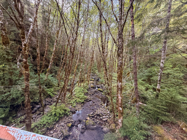
Red Alder thrives where soil stays moist during the growing season. It commonly occupies streambanks, floodplains, moist valley bottoms, and lower mountain slopes.
Red Alder has a remarkable partnership with Frankia bacteria living in nodules on its roots. These bacteria capture nitrogen from the atmosphere and convert it into forms plants can use, allowing alder to grow in nutrient-poor soils while enriching the ground around it.
When We Like to Ride This
Early Summer through Fall
Terrain & Riding
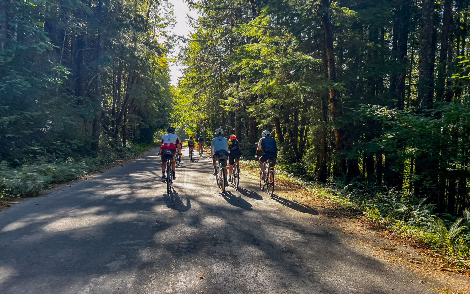
For seven miles you roll along on glorious paved roads, playing peakaboo with the aqua colored Detroit Lake. You’ll pass by several campground signs that you will “buzz by” because you are lulled into thinking this is so “easy smeasy”, that why bother to stop for a break. But patience . . . your time will come.
Paved roads evolve into gravel and then back into paved. You continue to roll along … admiring fields of ferns and huge pines. Wild rhododendrons start to appear.
At the start of the loop, at mile 13, the party just begins: The hill is one tough climb, because of the steepness and because of the squishy gravel spots that mop up the power in your legs. It’s 2,600 feet of climbing … at least five different lung-sucking spots will convince your that you are at the top …. you are close to the top when you see the Basalt Cliffs, which are jagged rocks that loom over the road.
After the Basalt Cliffs, you climb just a smidge more to enjoy a scenic ridge showcasing snowcapped Jefferson and Mt. Hood.
Take a breath and get ready for the downhill. There’s nothing relaxing about it: squishy gravel spots on 10% grades will test out your grip strength. Twisting and winding down ….
Then you hit a glorious paved road that sends you blasting back to the start of the loop.
Now, you can change that radio dial right back to Diana Ross …the gravel evolves back to paved as you roll along the shores of Detroit Lake.
If you have any energy left just pop down to one of the campgrounds to see the lake.
This route is tremendous during the summer because most of the ride you are well protected from the sun. But that also means we don’t recommend it during bad weather.
The Start
Right hand side of the road. No services. But, just up the road by 0.25 miles is Hoover campground that has pit toilets and water. Parking is also available there.
Food & Water
- None
Route Notes
Sept 2023. We have changed the start location to a pullout kiosk area, just up the original route by ~ 0.5 miles.





Have you ridden this route? Got a question? Join the discussion!