
Saxophone
Route is near the 2026 fires. See Notes section for more details.










Caution! We do not provide turn-by-turn directions in our GPX files. Those are auto-generated by your bike computer and are usually less than 70% accurate. Learn more.
For help loading a GPX file onto your bike computer, go here.
DownloadWhen We Like to Ride This
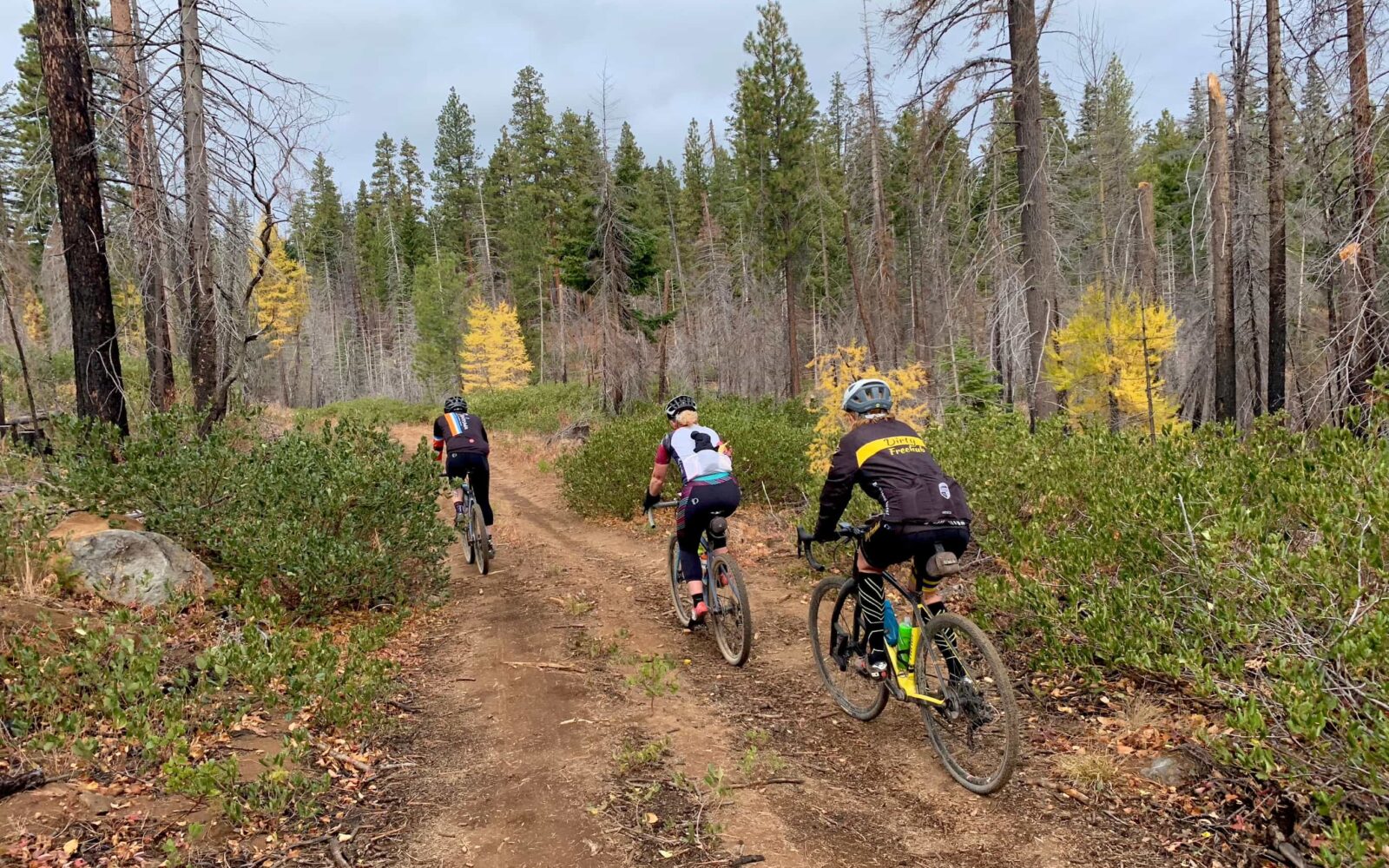
This route rides great (!) in the spring/early summer when the “washboard” is at a minimum, the peaks are snow-capped, and the flowers are in bloom. The fall colors can also be outstanding. If possible, do the ride midweek and not on a summer holiday weekend. Summer can be hot and dusty and with some vehicles on the hard packed gravel.
Terrain & Riding
Most of the ride is a series of rollers. Nothing too crazy steep, but it just keeps challenging you. The first half of the ride is on smaller roads … a few rocky, some shale, and a smattering of baby heads. Now just stop your windging because none of them last that long … just pause and enjoy the beauty.
The second half of the ride is on wide, hard-packed gravel roads. We hit some washboard but nothing that you can’t sneak around if you are paying attention.
The Start
At the end of the paved section of NF-11, ~ 10.5 miles north of Highway 20.
Food & Water
- None.
Route Notes
Fire update: the Forest Service has closed many of the roads in this area until Dec 31st, 2026 due to the impact of the fires. This should not include roads on this route. If you find out additional information, then add a note in the Comments section.
Ride the route in the direction as mapped, the opposite way could be brutal.
Route Options
A much shorter route can be had by driving to mile marker 30.2 where NF-11 intersects the route. Use Prairie Farm road as a connector between miles 34 and 8. This gives a route length of ~ 24 miles.
Ridden and Reviewed by:




Have you ridden this route? Got a question? Join the discussion!