Dirty Freehub
Favorites Sign In Search
  • Search
  • Donate
  • Gravel Rides
    • Explore by Region
    • Explore by Route Type
    • Explore by Collection
  • Programs
    • All Access®
    • Dirty Roads Crew
    • Gravel Champs
    • Passport Challenge
    • Route Stewardship
  • Stories
    • Bike Life
    • Culture & History
      • Central Oregon
      • NE Oregon
      • Bend Trails
      • Death Valley
    • People & Places
    • Lands
      • Arizona
      • Central Oregon
      • NE Oregon
    • Love Where You Ride
  • Events
    • Rides, Races & More
    • Submit Your Event
  • Help
    • Route Types
    • The Route Development Process
    • How We Rate Routes
    • Using the Searchable Map
    • Loading a GPX File
    • GravelPlex Maps
    • Glossary
    • FAQs
  • About
    • The Team
    • Our Missions
    • Impact Reports
    • Jobs + Volunteer
    • Press
    • Sponsors
    • Contact Us
  • Store
    • Gravel Guides
    • Merch
  • Donate
  • Cart
  • Sign In
  • Favorites

Hart’s Pass / Slate Peak

5 Star (Quick Build) Route / ~ Winthrop, Washington / Published: Oct 2019 / Updated: Aug 2026 / Directions
Save to Favorites Remove from Favorites

Closed due to fire recovery efforts. See Notes & Options tab for details.
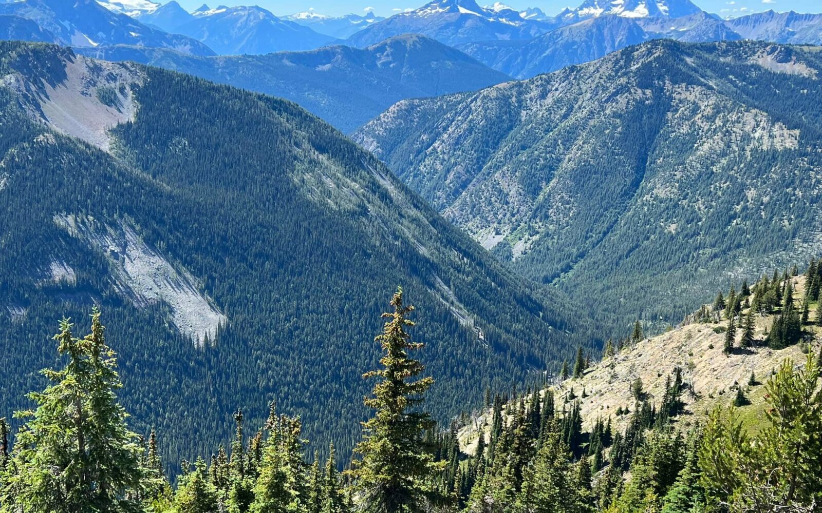
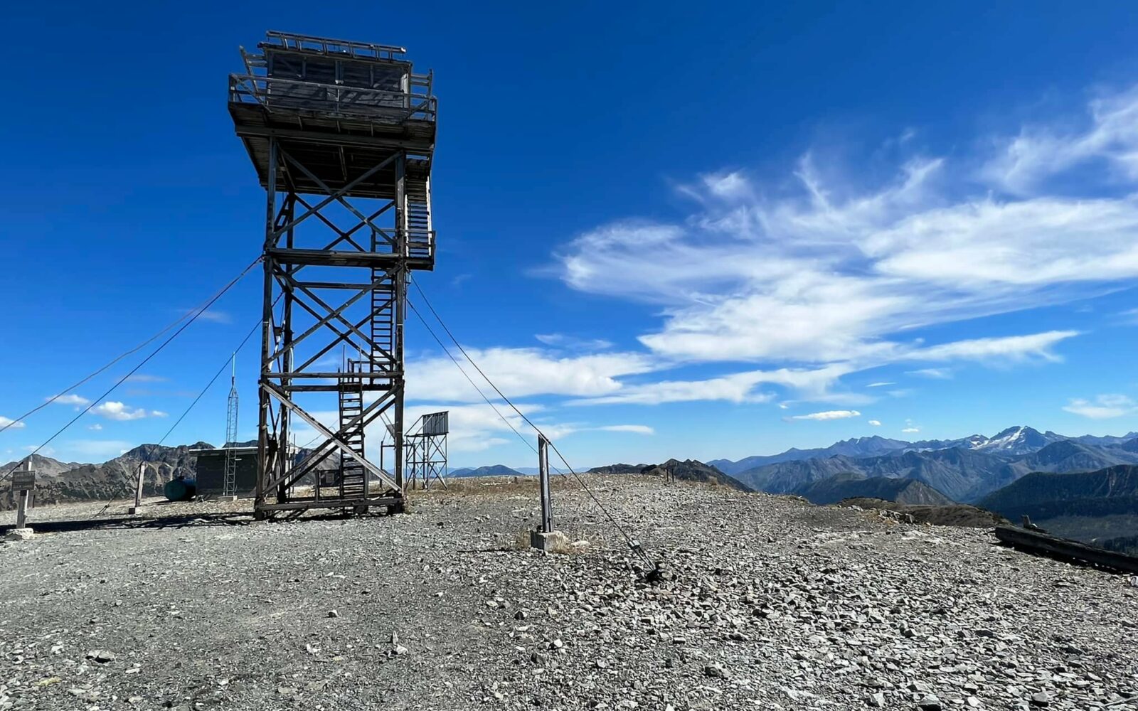
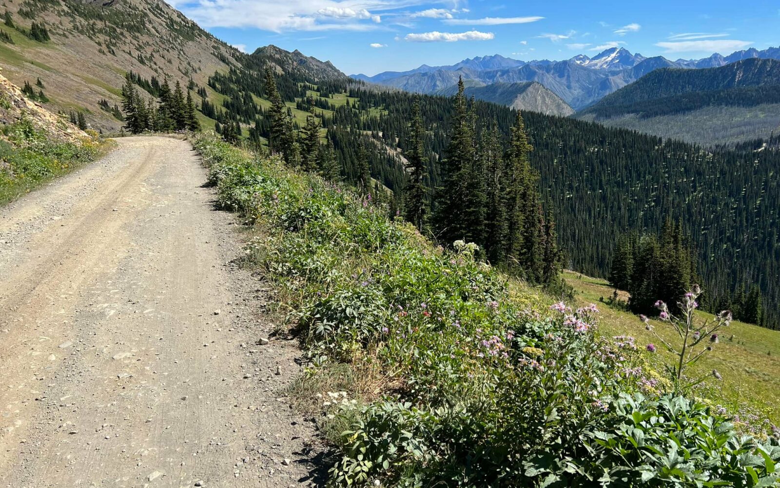
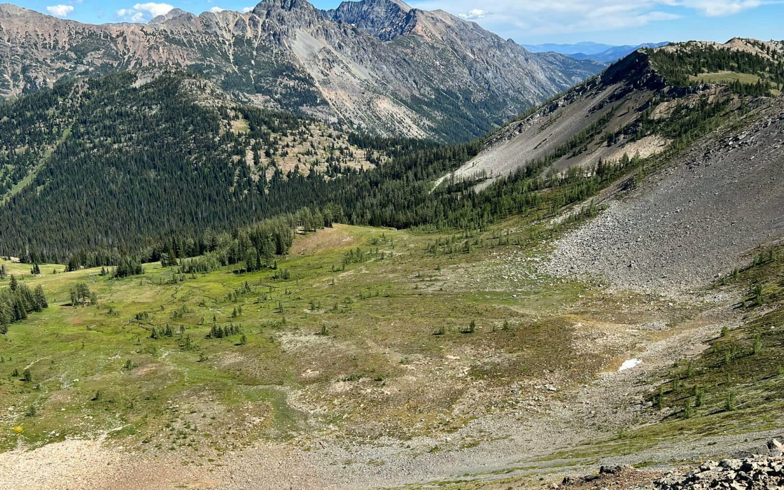
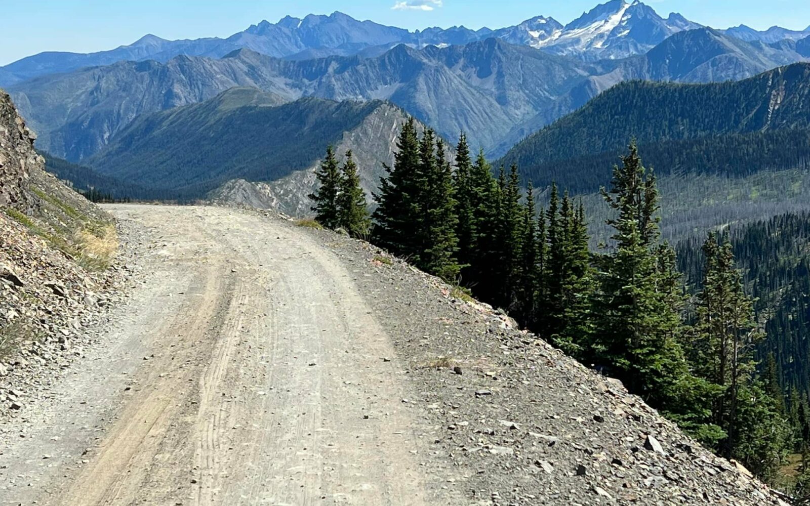
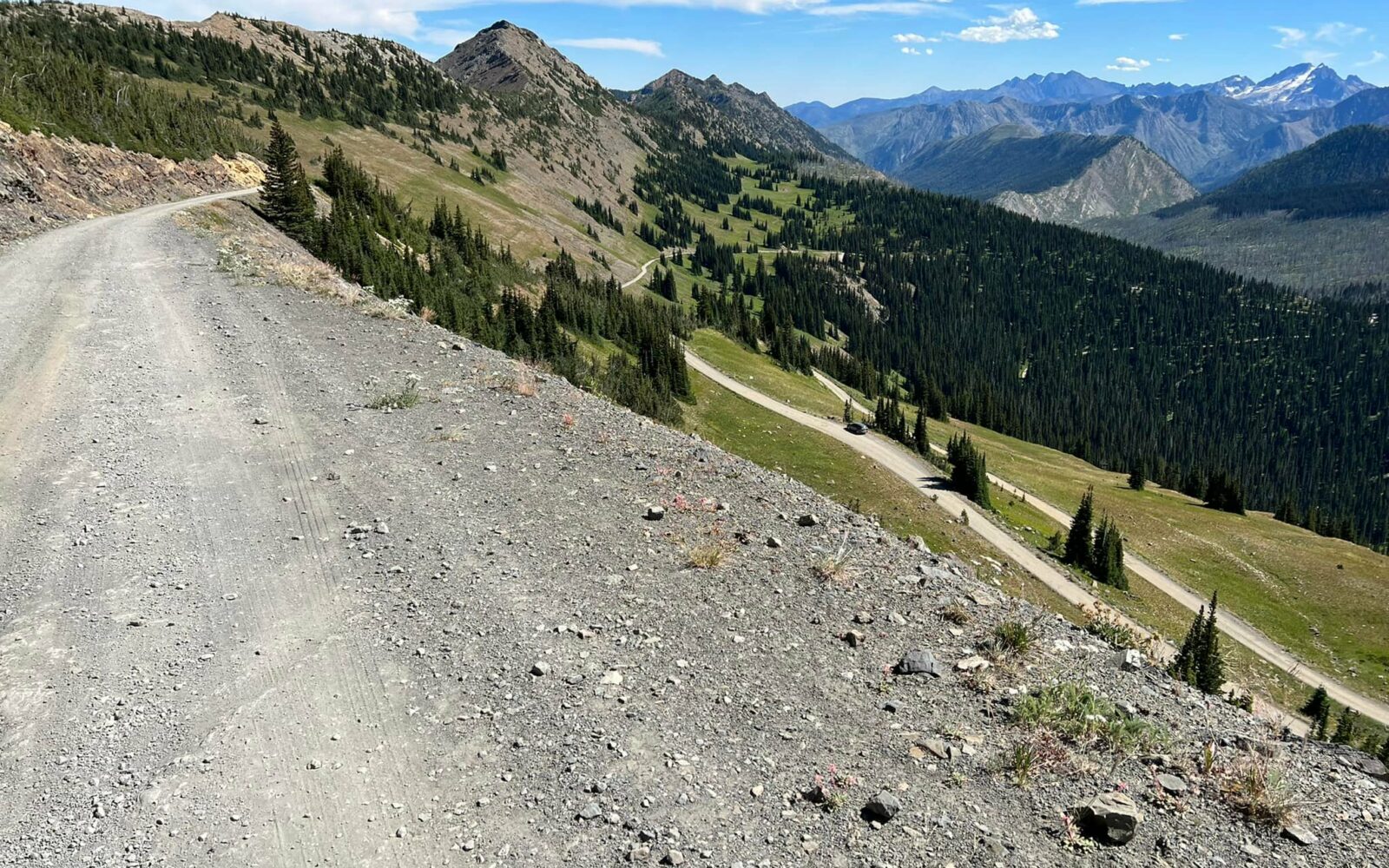
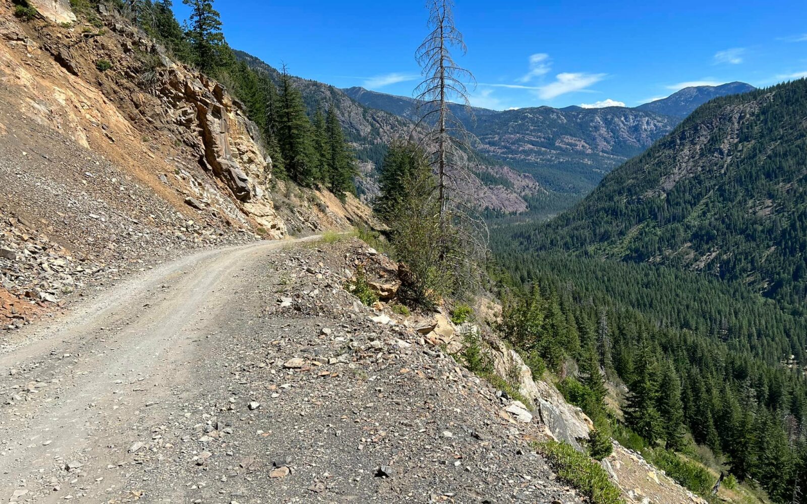
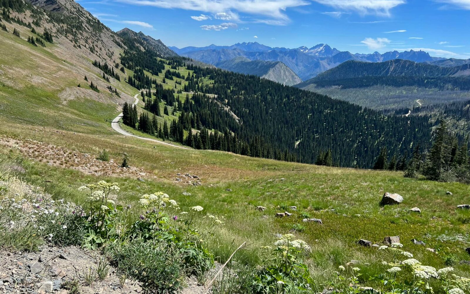
Photos by Josh Steinitz
*
Route:
Out & Back | 29 mi
*
Gain:
5,000 ft
*
Surface:
100% unpaved
*
Technical Difficulty:
Moderate
*
Navigation:
Straightforward
*
Locale:
Remote
*
Tire Suggestion:
45 mm+
*
Options:
---

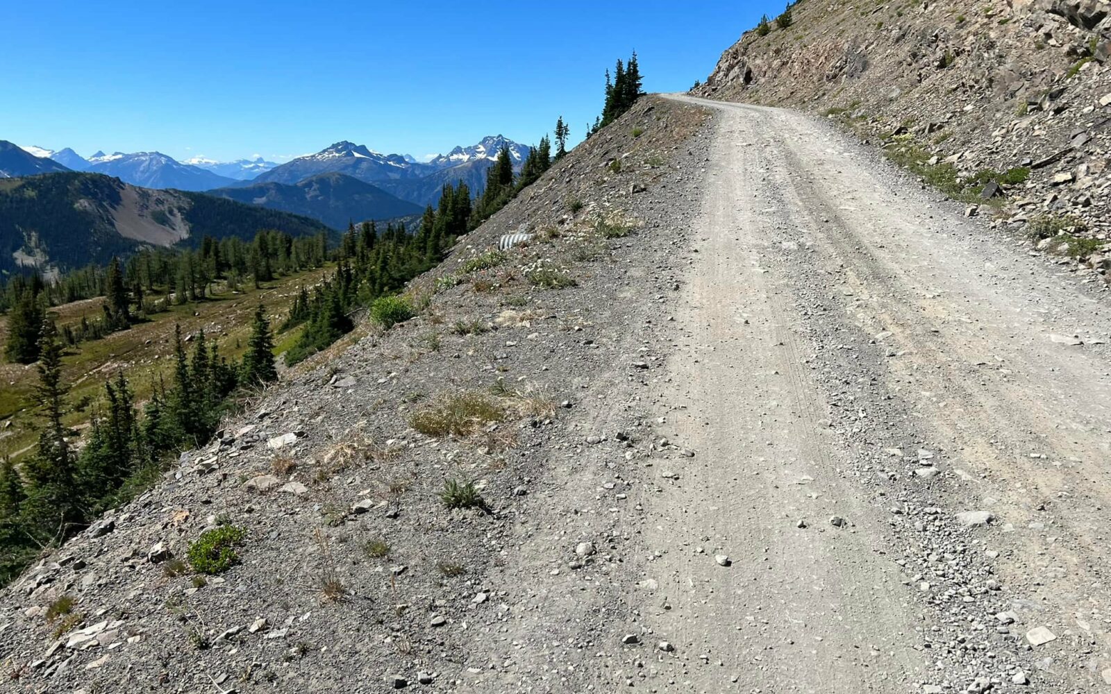
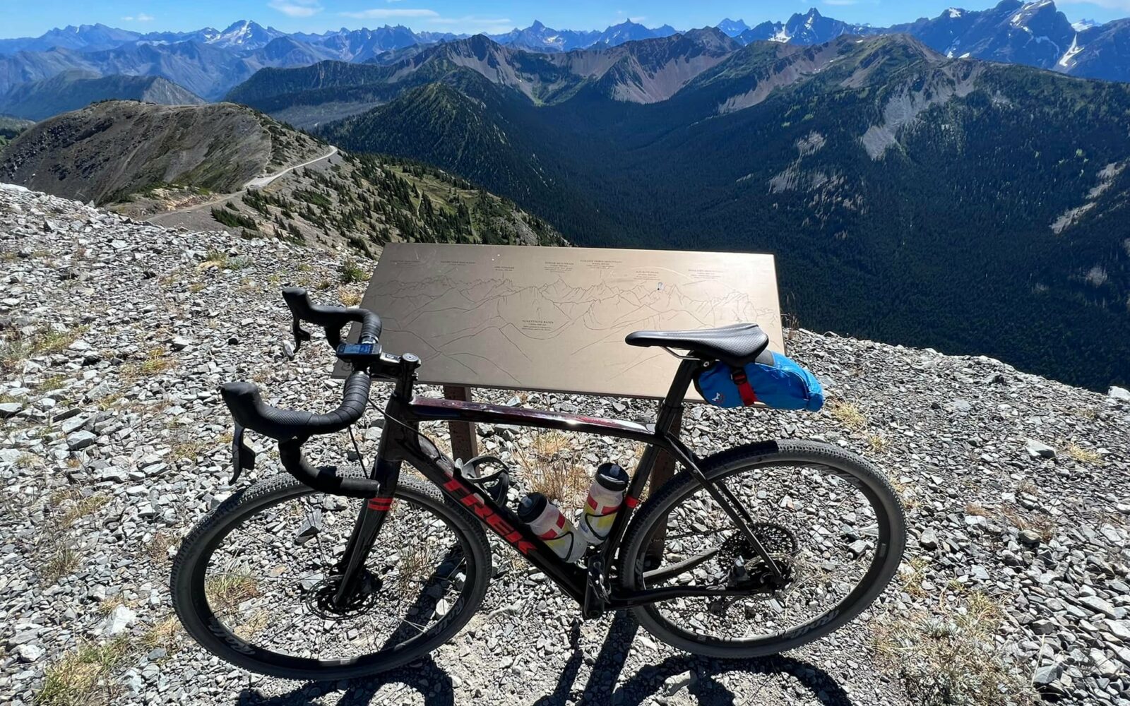
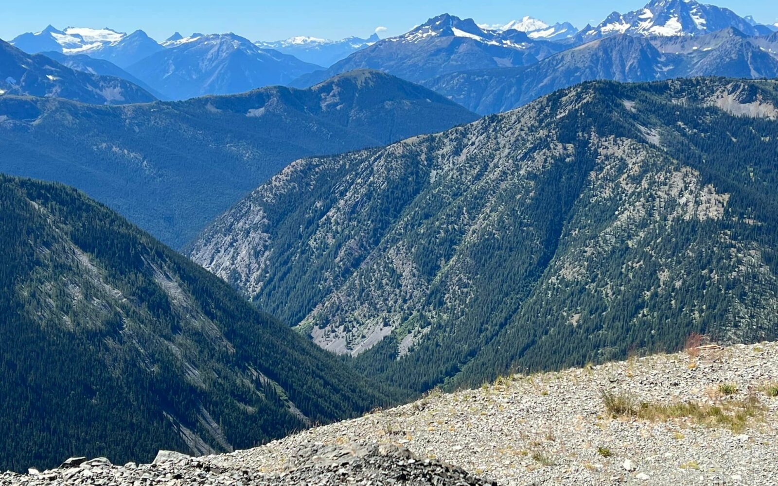
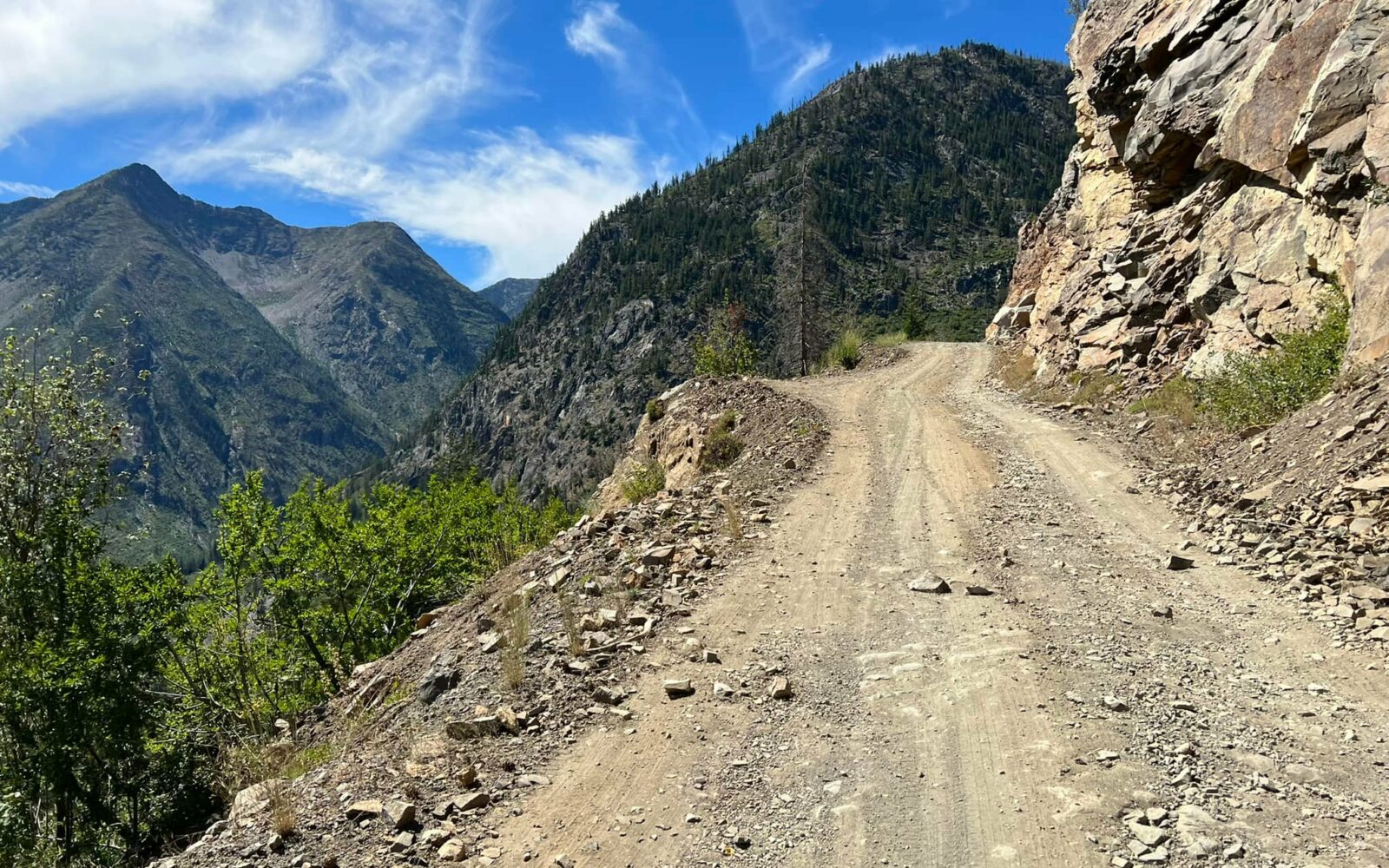
“Hart’s Pass is the highest point in the State of Washington that one can drive. The road was built in 1893 into gold and silver mines that once were home to over 1,000 permanent residents. This narrow road hangs along a cliff wall providing magnificent vistas and breathtaking canyons. The road ends near timberline, over 6000’ in elevation, and opens up into the heart of the North Cascades. Hart’s Pass road accesses the Pacific Crest Trail and a network of other trails heading into the vast Pasayten Wilderness that borders Canada 20 miles to the north. This glaciated landscape provides endless wildflower habitats for exploring from the rocky talus and scree slopes to fellfields, and richly diverse alpine meadows.” [US Forest Service]

“In the end, there is no landscape more beautiful and daunting than what we have in our own backyard. The North Cascades are rugged, relentless, and soulful.” – Chad Kellogg, American mountaineer

“The North Cascades are a place where the water meets the trees meets the rocks meets the snow. It’s a place that can teach a person how small they really are.” – Kelly Martin, superintendent of the North Cascades National Park

“The North Cascades are the American Alps – sheer, inspiring, and packed with epic vistas and ragged peaks. They are one of the last great wildernesses in the United States.” – Joe Riis, wildlife photographer and adventurer

Some will really like this route, and others think not so much. Expect rough and rugged. Be sure to check the comments section for the latest conditions, they are ever changing. We did this route in the rain, which we don’t recommend (think long, shivering downhill). But it wasn’t raining at the top and the views were honestly worth it.

There are a number of great write-ups on the Internet about this route, one of the best is by Our Mother the Mountain.

Read More
Map
Brown = gravel / dirt road
Blue = single track
Red = paved road
Purple = paved bike path
GPX Download
(Version 0.2)

Caution! We do not provide turn-by-turn directions in our GPX files. Those are auto-generated by your bike computer and are usually less than 70% accurate. Learn more.

For help loading a GPX file onto your bike computer, go here.

Download

⚠️ GPX download won’t work in this browser

You’re viewing this in Facebook’s built-in browser, which blocks GPX file downloads. To download the file, use either of these options:

  • Tap the ••• (or ≡) menu in the top corner of the screen and select Open in External Browser.
  • Open the route guide directly in Chrome or Safari.

Once the route guide is open in your browser, tap the GPX Download button again.

Got it
Learn More
Ride Details

When We Like to Ride This

Spring to Fall.

Terrain & Riding

There are a number of great write ups on the Internet about this route, one of the best is by the guys at Our Mother the Mountain.

The Start

Lat / Long: 48.655514, -120.514937

Monument Creek Trailhead. Dirt pullout road to the north of the main road.

Notes & Options

Route Notes

  1. This route is closed due to fire recovery efforts from the Ptarmigan fire. See this notice for more details. Expected reopening is October 30, 2026.

Route Options

If you’re looking for more climbing / more distance, there are two additional options we recommend. (1) Start at the Mazama Store, this will add 13 miles and 600 feet of gain, or (2) do the dogleg out to Brown Bear Mine from Harts pass, this will add 3 miles and 400 feet of gain.

Comments

Have you ridden this route? Got a question? Join the discussion!

This is a Quick Build Route Guide

A Quick Build route is a fully vetted Dirty Freehub route that meets the same high standards as our Premiere 5-Star routes. The difference isn’t the ride—it’s the route guide.

A Quick Build guide includes everything you need to confidently ride the route, but it doesn’t yet include all of the rich content found in a Premiere 5-Star guide, such as detailed ride stories, points of interest, local history, photography, community highlights, and expanded planning information.

Why do we publish Quick Build routes?

We’ve identified hundreds of exceptional 5-Star routes that deserve to be shared. Creating a full Premiere guide takes significant time and resources, and we don’t want great rides waiting behind a lengthy production process. By publishing Quick Build guides, we can make more outstanding routes available sooner while continuing to work toward their full Premiere editions.

Our goal is to upgrade every Quick Build guide into a Premiere 5-Star guide.

Why? Because a Premiere guide does more than help you navigate. It connects you to the places you ride—the landscapes, history, culture, businesses, and people that make each destination unique. Riders who engage with these stories are more likely to stay longer, explore more, and support local restaurants, lodging, bike shops, and other small businesses—creating a greater economic impact in rural communities.

Your donation makes that happen. Every contribution helps fund the writers, photographers, researchers, editors, and route specialists who transform Quick Build guides into immersive Premiere 5-Star guides.

If you believe in connecting people to great rides and strengthening rural communities, please donate today. Together, we can publish more world-class route guides and bring more exceptional gravel routes to riders everywhere.

Videos

The Ride! Hart’s Pass / Slate Peak (Part 2)

A quick 2-minute video of part 2 of the ride (on the descent), where things start to get a bit interesting with the weather.

Ridden and Reviewed by:

LindaE (aka Gravel Girl)

LindaE (aka Gravel Girl) / Team Dirty Freehub

She loves a good day of gravel, like most people like a good book. She’s always amused by the outdoors and the wild adventures. Gravel Girl is a Co-Founder of Dirty Freehub.

KevinE

KevinE / Team Dirty Freehub

He should have “Never Stop Exploring” tattooed on his chest! He loves adventures on bikes and is a Co-Founder of Dirty Freehub.

Explore Similar Routes:

Bucketlist

Sign Up for the Dirty Freehub Newsletter

info@DirtyFreehub.org
Terms of Service Privacy EEO Policy Our Values
Dirty Freehub is 501(c)3 non-profit organization.
©2026 Dirty Freehub :: Website Design
Cleantalk Pixel

Tell Us How We’re Doing

Gravel rider on a rural Dirty Freehub route

From ride guides to rural economies — your answers shape what we do next.

Do our guides match reality? Do you trust what we publish? And when you drive to ride, how much does that trip put into the small towns along the way? Your answers help us improve — and help us prove gravel cycling’s real value to rural communities.

Ten minutes, confidential if you’d like, and it sets our direction for 2027.

Take the Survey