







Dirty Freehub
Favorites Sign In Search
  • Search
  • Donate
  • Gravel Rides
    • Explore by Region
    • Explore by Route Type
    • Explore by Collection
  • Programs
    • All Access®
    • Dirty Roads Crew
    • Gravel Champs
    • Passport Challenge
    • Route Stewardship
  • Stories
    • Bike Life
    • Culture & History
      • Central Oregon
      • NE Oregon
      • Bend Trails
      • Death Valley
    • People & Places
    • Lands
      • Arizona
      • Central Oregon
      • NE Oregon
    • Love Where You Ride
  • Events
    • Rides, Races & More
    • Submit Your Event
  • Help
    • Route Types
    • The Route Development Process
    • How We Rate Routes
    • Using the Searchable Map
    • Loading a GPX File
    • GravelPlex Maps
    • Glossary
    • FAQs
  • About
    • The Team
    • Our Missions
    • Impact Reports
    • Jobs + Volunteer
    • Press
    • Sponsors
    • Contact Us
  • Store
    • Gravel Guides
    • Merch
  • Donate
  • Cart
  • Sign In
  • Favorites

H2O

Development Route / Bend, Oregon / Published: Jun 2018 / Updated: Aug 2026 / Directions
Save to Favorites Remove from Favorites
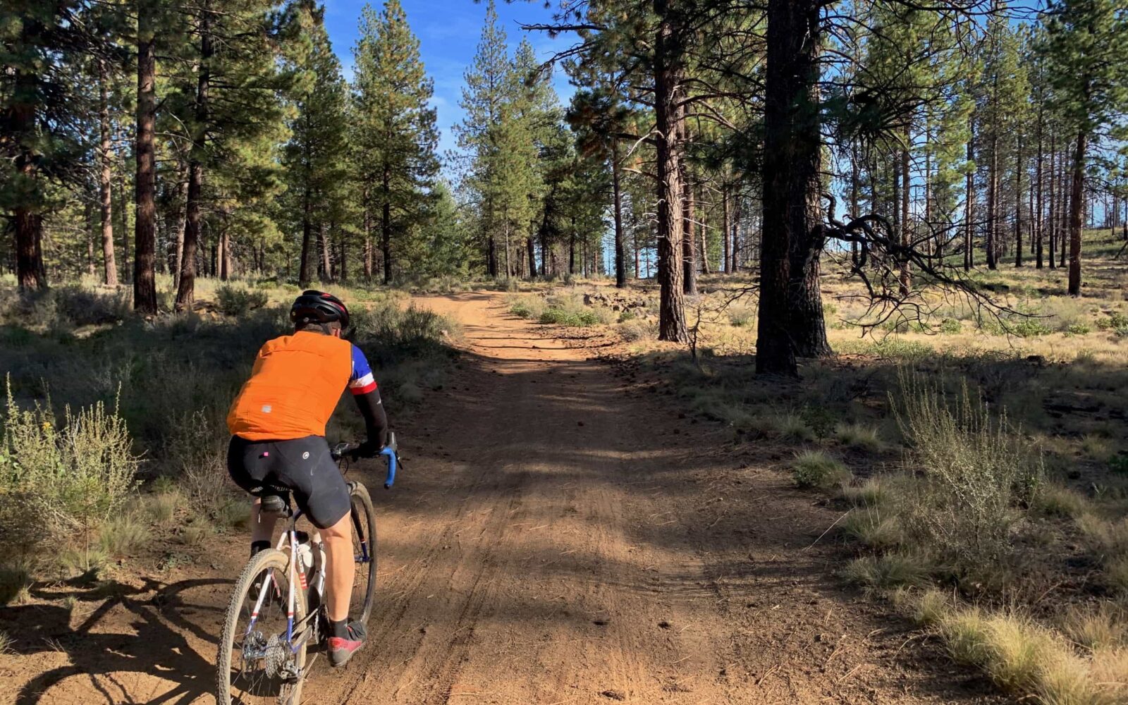
Riding gravel trail in forest in Bend Oregon
Green gate at cinder pit.
Bikes can pass beyond this gate.
*
Route:
Loop | 20 mi
*
Gain:
1,300 ft
*
Surface:
~ 70% gravel, 5% single track, 5% bike path, 20% paved road
*
Technical Difficulty:
Easier
*
Navigation:
Attention Required
*
Locale:
Urban Backcountry
*
Tire Suggestion:
40 - 45 mm
*
Options:
---

This is a quick and relatively easy ride just west of Bend. It has a cool little bit of single-track that is rarely ridden. We use this route when looking for something close to home and just want to relax. There are one, maybe two, popper hills … but nothing more.

Caution, this is a Development Route. We have ridden the entire route and like it a lot! We are still working on the documentation, thus the Development tag. Any feedback you have would be much appreciated. You can leave it below in the comments block.

Read More
Map
Brown = gravel / dirt road
Blue = single track
Red = paved road
Purple = paved bike path
GPX Download
(Version 0.3)

Caution! We do not provide turn-by-turn directions in our GPX files. Those are auto-generated by your bike computer and are usually less than 70% accurate. Learn more.

For help loading a GPX file onto your bike computer, go here.

Download

⚠️ GPX download won’t work in this browser

You’re viewing this in Facebook’s built-in browser, which blocks GPX file downloads. To download the file, use either of these options:

  • Tap the ••• (or ≡) menu in the top corner of the screen and select Open in External Browser.
  • Open the route guide directly in Chrome or Safari.

Once the route guide is open in your browser, tap the GPX Download button again.

Got it
Help
Ride Details

When We Like to Ride This

Late spring (when enough snow has melted) through the fall.

Terrain & Riding

Dirt roads and some single-track, rated mountain bike easy. There are a number of unsigned/unmarked turns. It is easy to miss a turn, but also easy to recognize that you have missed a turn. This is a great course to work on your navigation skills.

The Start

Lat / Long: 44.05948, -121.351831

The Grove (Market Hall) in Northwest Crossing. This is a great place to grab a before ride coffee and an after ride snack.

Food & Water

  • None
Notes & Options

Route Notes

  1. We have updated this route several times in 2026 due to Forest Service closures of roads and trails. If you encounter issues with the version 0.3 GPX file, please let us know. Use the Comments Tab. Thanks!

  2. At ~ mile 6.4 there is a cowboy connector. An unofficial / non-marked exit from a road. Usually, it is a way to connect two roads by riding through a median or ditch or across an embankment. Look just to your left for the gravel road, this is the connector you want.

  3. At ~ 10.9, you will come to a green gate that accesses the cinder pit. We have checked with the Forest Service, and bikes are allowed beyond the gate. Note, if the gate is open there may be heavy-duty truck traffic, exercise caution.

Comments

Have you ridden this route? Got a question? Join the discussion!

Help Make this Guide Better!

At Dirty Freehub, we believe the best routes are organic and driven by the riding community. This route and guide are a work in progress, and we need your help to make it great!

Provide us with route feedback, both good and bad.

  • Let us know about points of interest and viewpoints,
  • Submit pictures and videos,
  • Suggest a best time to ride,
  • Let us know about a better or alternative option,
  • And tell us about your favorite place to go after the ride for a burger and beer.

Submit your feedback via the comments block (tab just above the map).

Videos

The Ride! H20

A quick 2-minute video of what to expect on your ride!

Ridden and Reviewed by:

KevinE

KevinE / Team Dirty Freehub

He should have “Never Stop Exploring” tattooed on his chest! He loves adventures on bikes and is a Co-Founder of Dirty Freehub.

Explore Similar Routes:

Bend Shorts Deschutes National Forest

Sign Up for the Dirty Freehub Newsletter

info@DirtyFreehub.org
Terms of Service Privacy EEO Policy Our Values
Dirty Freehub is 501(c)3 non-profit organization.
©2026 Dirty Freehub :: Website Design
Cleantalk Pixel

Tell Us How We’re Doing

Gravel rider on a rural Dirty Freehub route

From ride guides to rural economies — your answers shape what we do next.

Do our guides match reality? Do you trust what we publish? And when you drive to ride, how much does that trip put into the small towns along the way? Your answers help us improve — and help us prove gravel cycling’s real value to rural communities.

Ten minutes, confidential if you’d like, and it sets our direction for 2027.

Take the Survey
