











Dirty Freehub
Favorites Sign In Search
  • Search
  • Donate
  • Gravel Rides
    • Explore by Region
    • Explore by Route Type
    • Explore by Collection
  • Programs
    • All Access®
    • Dirty Roads Crew
    • Gravel Champs
    • Passport Challenge
    • Route Stewardship
  • Stories
    • Bike Life
    • Culture & History
      • Central Oregon
      • NE Oregon
      • Bend Trails
      • Death Valley
    • People & Places
    • Lands
      • Arizona
      • Central Oregon
      • NE Oregon
    • Love Where You Ride
  • Events
    • Rides, Races & More
    • Submit Your Event
  • Help
    • Route Types
    • The Route Development Process
    • How We Rate Routes
    • Using the Searchable Map
    • Loading a GPX File
    • GravelPlex Maps
    • Glossary
    • FAQs
  • About
    • The Team
    • Our Missions
    • Impact Reports
    • Jobs + Volunteer
    • Press
    • Sponsors
    • Contact Us
  • Store
    • Gravel Guides
    • Merch
  • Donate
  • Cart
  • Sign In
  • Favorites

Tombstone Pass

5 Star (Quick Build) Route / ~ Santiam Pass, Oregon / Published: Oct 2024 / Updated: Aug 2026 / Directions
Save to Favorites Remove from Favorites
*
Route:
Loop | 28 mi
*
Gain:
2,400 ft
*
Surface:
~ 75% Gravel / 10% Single-track / 15% Paved
*
Technical Difficulty:
Demanding
*
Max Gradient:
+20%
*
Sustained Gradient:
2% over 5 miles
*
Climb Ratio:
0.9
*
Effort:
3 (out of 5)
*
Navigation:
Attention Required
*
Locale:
Remote
*
Tire Suggestion:
45 mm+
*
Options:
---

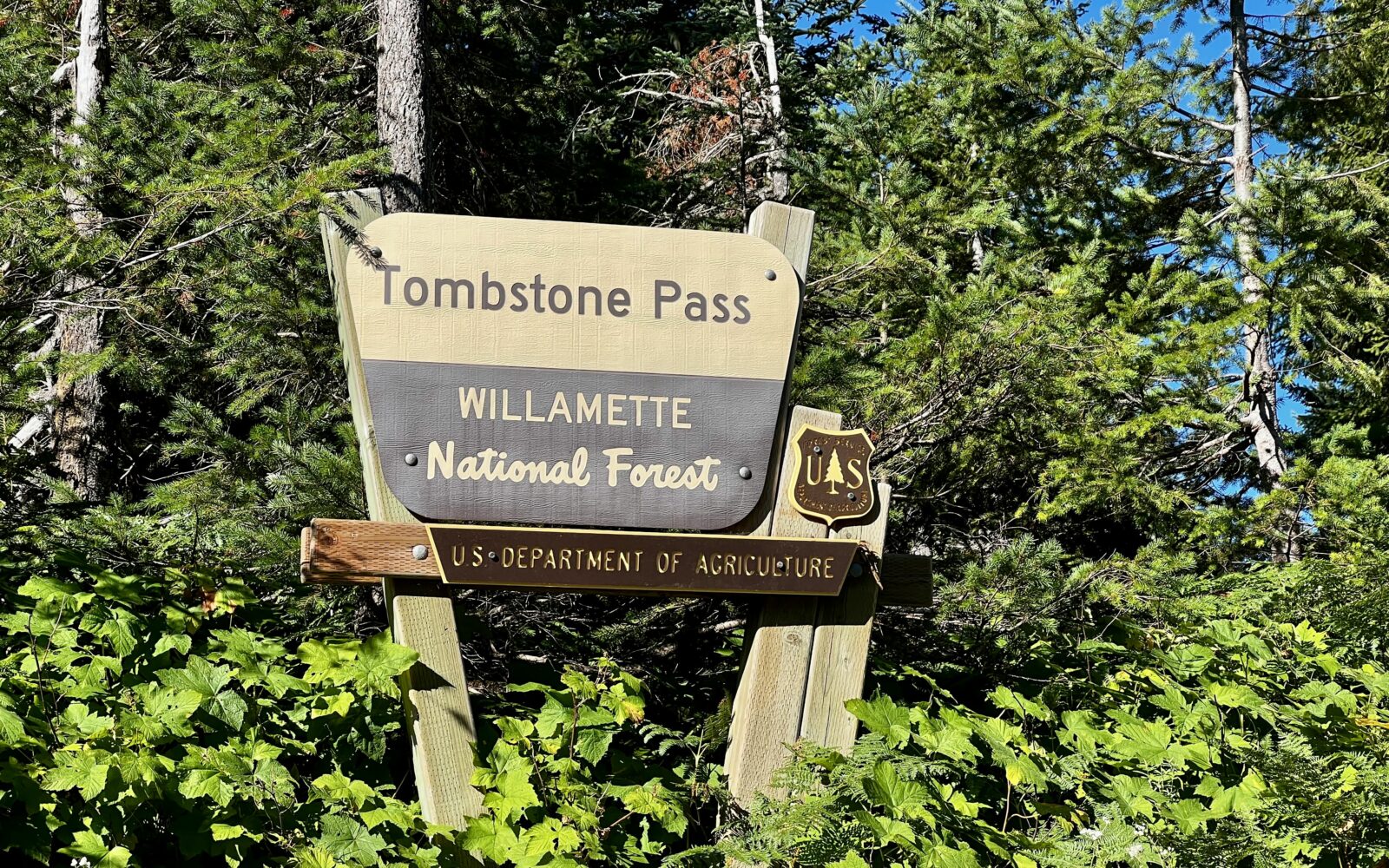
Tombstone Pass got its ghastly name from a tragedy in 1871. The Santiam Wagon Road was a major conduit over the Cascades, and Tombstone Pass was the beginning of the Seven Mile Hill (downhill) for travelers heading west toward the Willamette Valley. While stopping overnight to camp with his family, 18-year-old James McKnight was accidentally shot as he retrieved his gun from between two bedrolls. His grieving mother placed a tombstone in his honor.

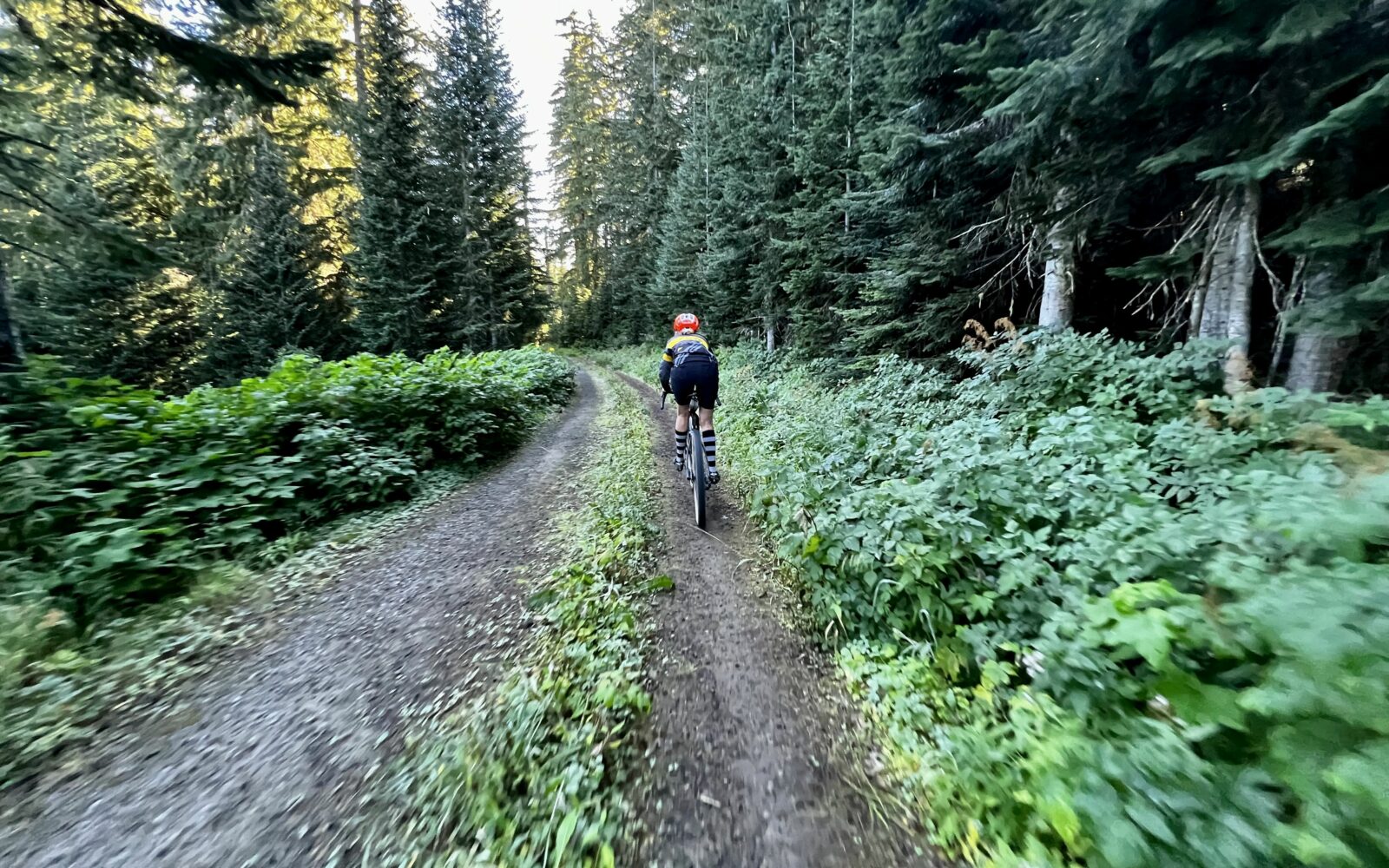
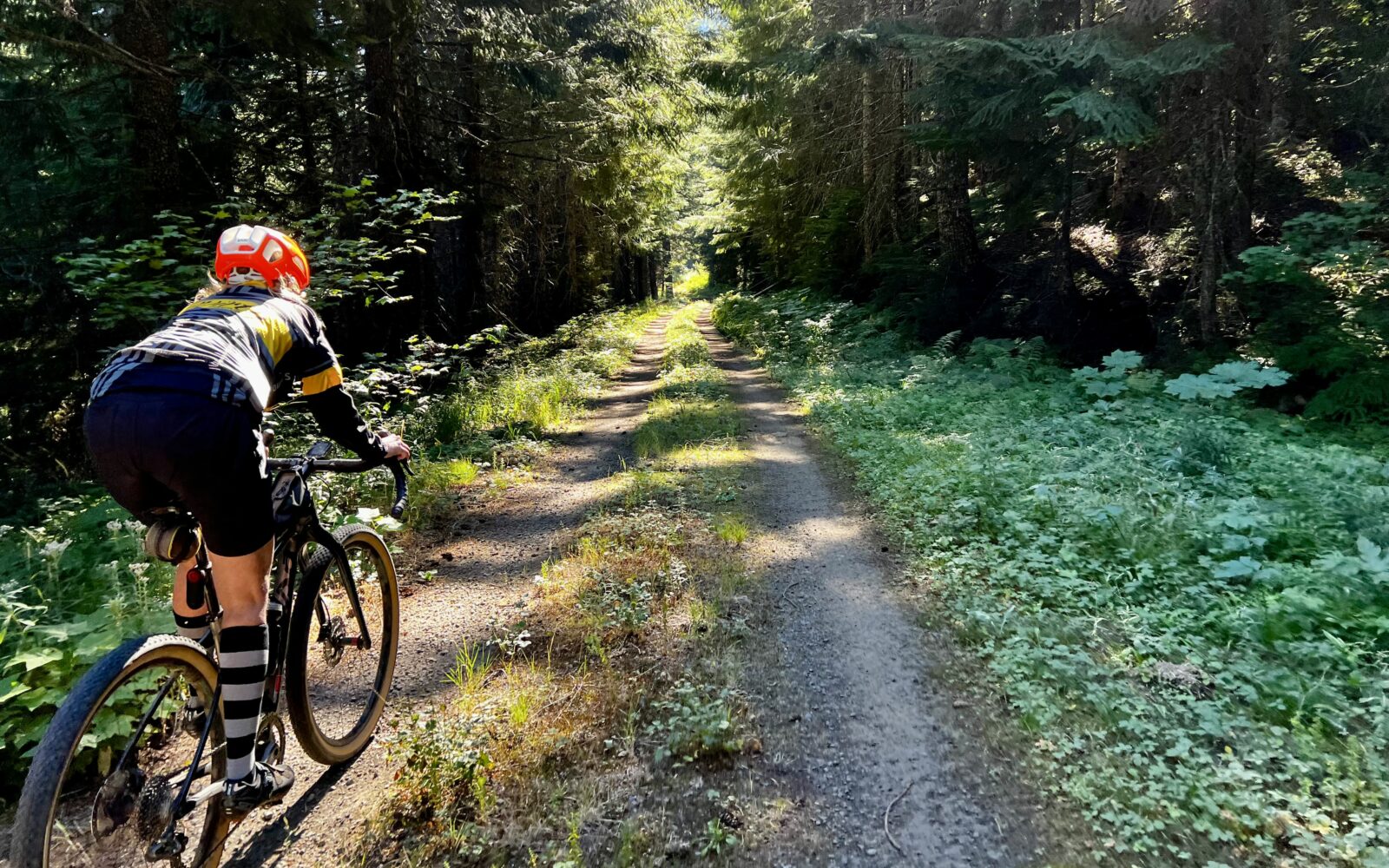
This ride climbs up to Tombstone Pass on a mix of gravel and paved roads and a bit of single-track. From there, you follow the Old Santiam Wagon road, ride through a forest of old-growth trees, pass by historic Fish Lake and then catch a bit of the wide, flowy McKenzie River trail as you circumnavigate the west side of Clear Lake, ultimately bringing you back to Clear Lake Resort.

There may be treefall, so please report it in the comments section if you encounter it. Include pictures and lat/long.

Read More
Map
Brown = gravel / dirt road
Blue = single track
Red = paved road
Purple = paved bike path
GPX Download
(Version 0.3)

Caution! We do not provide turn-by-turn directions in our GPX files. Those are auto-generated by your bike computer and are usually less than 70% accurate. Learn more.

For help loading a GPX file onto your bike computer, go here.

Download

⚠️ GPX download won’t work in this browser

You’re viewing this in Facebook’s built-in browser, which blocks GPX file downloads. To download the file, use either of these options:

  • Tap the ••• (or ≡) menu in the top corner of the screen and select Open in External Browser.
  • Open the route guide directly in Chrome or Safari.

Once the route guide is open in your browser, tap the GPX Download button again.

Got it
Help
Ride Details

When We Like to Ride This

Jan
Feb
Mar
Apr
May
Jun
Jul
Aug
Sep
Oct
Nov
Dec
Not Rideable
Possibly Rideable
Rideable

Spring when Fish Lake is full of water. Super cool!

Fall (i.e. October) when the colors explode.

Terrain & Riding

The West Cascade Mountains are characterized by steep, heavily forested slopes. At lower elevations, Douglas-fir and western hemlock are most common, while higher up, Pacific silver fir, mountain hemlock, and subalpine fir take over. At the highest points alpine meadows and rocky areas appear.

The terrain is largely volcanic in origin, with deep river valleys carved through the mountain ranges, often containing lakes and streams due to heavy precipitation in the region.

Leading out of the parking lot at Clear Lake, it is a STEEP opening pitch on pavement, 8% average gradient for 0.5 miles with bursts of 12%+.

Starting at mile 15.5, the (majority of the) remainder of the route is a mix between double-track and single-track. Thus, the first half of the ride is uphill, but not technically demanding. The second half of the ride is mostly downhill, but technically demanding. Note that the route does not ride fast.

The Start

Clear Lake Day Use Area
Lat / Long: 44.37447, -121.99879

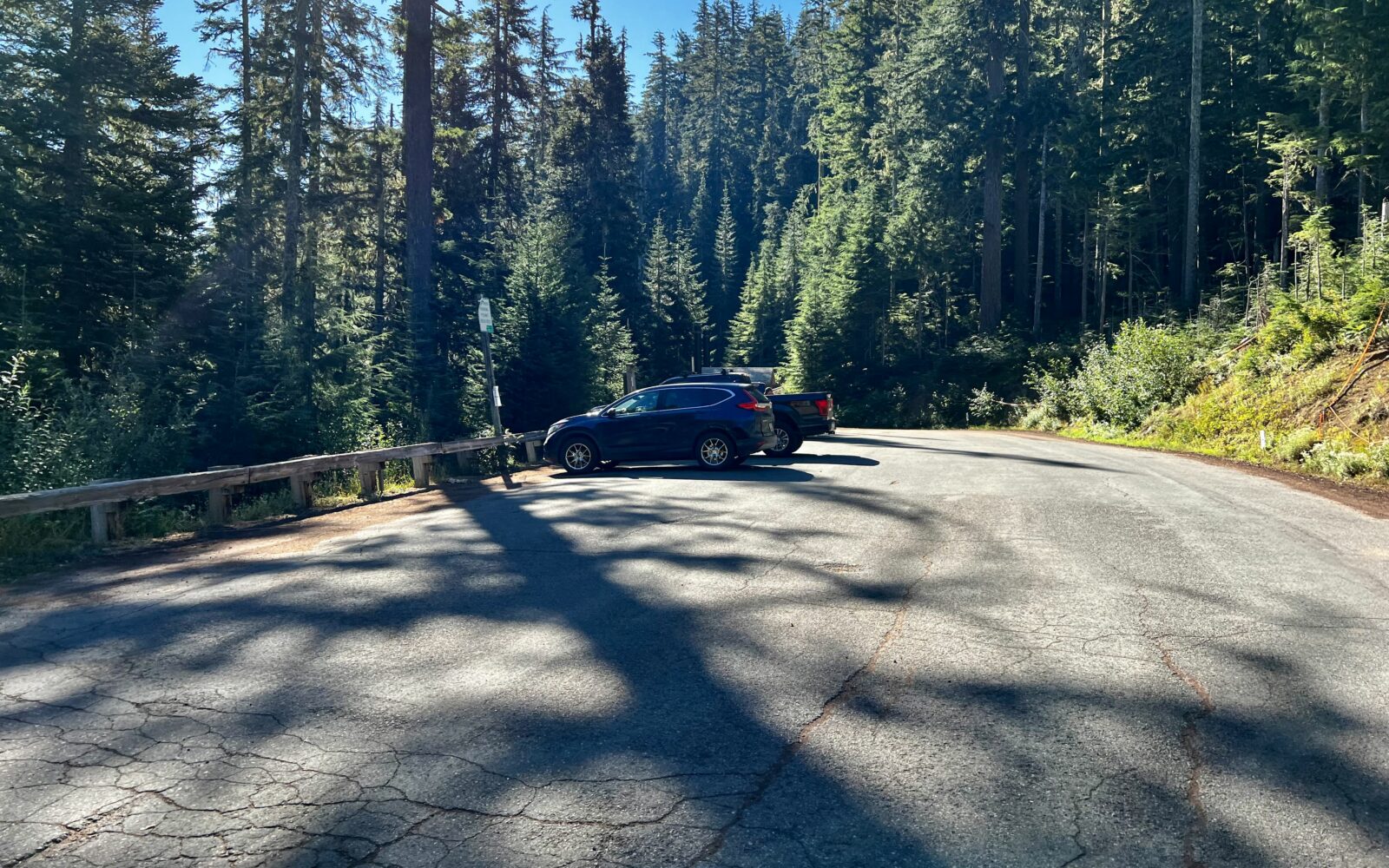
Store (seasonal). Toilets. Parking Pass Required: Northwest Forest Pass, America the Beautiful Pass, or Day-Use Pass ($9 as of summer of 2024). Day-Use pass can be purchased on site.

If this Day-Use parking area is filled or you want to avoid the parking fee, use the Fish Lake Day Use Area parking lot detailed just below.

Alt Start / Fish Lake Day Use Area
Lat / Long: 44.400949, -122.003471

Designated dirt parking lot. Pit toilets. No fees.

Alt Start / Tombstone Pass Sno-Park
Lat / Long: 44.395395, -122.140881

For those coming from the Valley to do this ride, a more convenient start is at the Tombstone Pass sno-park. This gives a different feel to the route as the ride begins downhill and finishes with a longer, more demanding uphill, but still ends, with a scenic 1-mile of old growth forest riding.

Notes & Options

Route Notes

  1. Love Where You Ride!
    Maintaining the Old Santiam Wagon Road for biking is a challenging task. Each winter brings fresh fallen trees that need clearing. Consider joining a work party or supporting your local trails and recreation organization—these groups handle the hard work that keeps trails accessible. With government resources shrinking each year, your support is essential for preserving outdoor recreation like this. To learn more about how Dirty Freehub contributes to trail, road and recreation work, check out our efforts.

  2. Share the trail. Around Clear Lake, especially on busy weekends, you should expect hikers along the trail.

  3. Choosing the right bike and tires for a route like Tombstone can be one of the toughest decisions, due to the wide variety of terrain. The route includes everything from fast gravel roads to chunky, rutted double-track, and a mix of steep and flowy singletrack.

    Some riders will opt to be under-biked—choosing a lighter, faster setup that performs well on gravel, even if it means a rougher ride on technical sections. Others will prefer to be over-biked, favoring comfort and control on the rugged terrain at the expense of speed on the smoother gravel stretches.

    There’s no single “perfect” bike for this route. Our Director of Routes, KevinE, likes his Moots YBB with 20mm of rear suspension, 40mm of front suspension, and 50mm tires for this route. But the route is also doable on a rigid gravel bike with 45mm tires—or, if you prefer maximum control, a full mountain bike might be your best choice.

    Whatever you choose, ride what feels right for you—and enjoy the adventure!

Route Options

Hackleman Old Growth Hike
Not a ride option, but an after ride option. Add more about this.
Comments

Have you ridden this route? Got a question? Join the discussion!

This is a Quick Build Route Guide

A Quick Build route is a fully vetted Dirty Freehub route that meets the same high standards as our Premiere 5-Star routes. The difference isn’t the ride—it’s the route guide.

A Quick Build guide includes everything you need to confidently ride the route, but it doesn’t yet include all of the rich content found in a Premiere 5-Star guide, such as detailed ride stories, points of interest, local history, photography, community highlights, and expanded planning information.

Why do we publish Quick Build routes?

We’ve identified hundreds of exceptional 5-Star routes that deserve to be shared. Creating a full Premiere guide takes significant time and resources, and we don’t want great rides waiting behind a lengthy production process. By publishing Quick Build guides, we can make more outstanding routes available sooner while continuing to work toward their full Premiere editions.

Our goal is to upgrade every Quick Build guide into a Premiere 5-Star guide.

Why? Because a Premiere guide does more than help you navigate. It connects you to the places you ride—the landscapes, history, culture, businesses, and people that make each destination unique. Riders who engage with these stories are more likely to stay longer, explore more, and support local restaurants, lodging, bike shops, and other small businesses—creating a greater economic impact in rural communities.

Your donation makes that happen. Every contribution helps fund the writers, photographers, researchers, editors, and route specialists who transform Quick Build guides into immersive Premiere 5-Star guides.

If you believe in connecting people to great rides and strengthening rural communities, please donate today. Together, we can publish more world-class route guides and bring more exceptional gravel routes to riders everywhere.

Keep it Local! Learn More

Clear Lake Resort

Clear Lake Resort

At the end of your ride, be sure to stop by the lakeside restaurant at Clear Lake Resort. Enjoy a burger and fries while soaking in the natural beauty of this stunning lake. If you’re up for extending your adventure, the resort offers cabins, yurts, and kayak rentals (highly recommended!).

Explore Similar Routes:

Big Trees Ghosts

Sign Up for the Dirty Freehub Newsletter

info@DirtyFreehub.org
Terms of Service Privacy EEO Policy Our Values
Dirty Freehub is 501(c)3 non-profit organization.
©2026 Dirty Freehub :: Website Design
Cleantalk Pixel

Tell Us How We’re Doing

Gravel rider on a rural Dirty Freehub route

From ride guides to rural economies — your answers shape what we do next.

Do our guides match reality? Do you trust what we publish? And when you drive to ride, how much does that trip put into the small towns along the way? Your answers help us improve — and help us prove gravel cycling’s real value to rural communities.

Ten minutes, confidential if you’d like, and it sets our direction for 2027.

Take the Survey
