
Big Red












Caution! We do not provide turn-by-turn directions in our GPX files. Those are auto-generated by your bike computer and are usually less than 70% accurate. Learn more.
For help loading a GPX file onto your bike computer, go here.
DownloadHighlights & Remarkable Spots
Bates Butte / ~ Mile 1.5
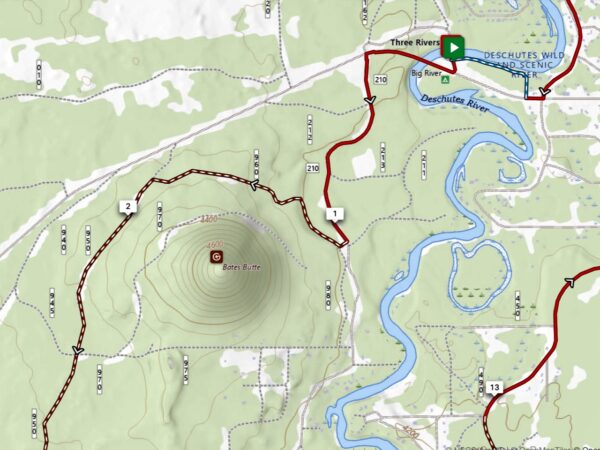
Bates Butte, standing at 4,778 ft, appears in early records of forest fire detection. A 1915 note (preserved by Oregon lookout-history hobbyists) describes a ranger running a short telephone spur line to the summit and using it as a secondary lookout point near Big River Station. We could find no detailed references to Big River Station, but it can be easily inferred to be near the start of this ride at Big River Campground.
Fall River & Fall River Falls / ~ Mile 5

“What Fall River Falls lacks in stature it makes up in character. The river, placid above and below, skips down a jagged 14 foot step of what appeared to be heavily eroded columnar basalt, surrounded by grassy meadows and lodgepole pine. The Fall River is fed by a series of springs and retains a very consistent volume all year long. ” [Northwest Waterfall Survey]
Don McGregor Viewpoint / ~ Mile 6.5
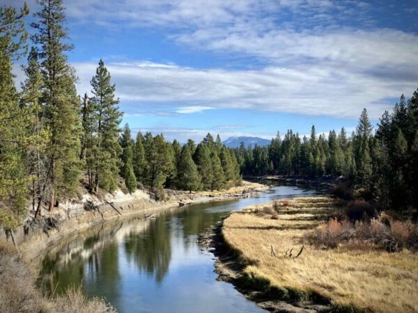
One of the best views of the Deschutes River in the park. The viewpoint is at a tight bend in the river and is named for Don McGregor who was a member of the State Parks and Recreation Advisory Committee in the 1960s and ‘70s. [The Oregonian]
Dead Slough / ~ Mile 9.5
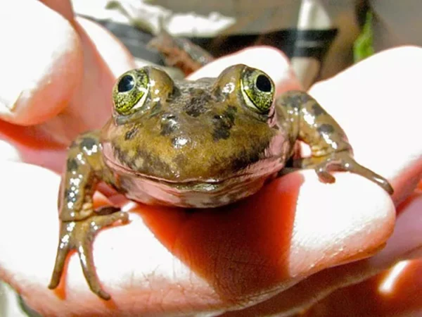
Once an arching bend in the river, at some time the river forged a new, straighter channel bypassing the bend. Thus, the Dead Slough. The slough was selected as a site to study overwinter and breeding habitat of the Oregon spotted frog. The frog, endemic to the Pacific Northwest, is noted as a vulnerable species. Keep your eyes open for these tiny critters, which range from 1.75-4 inches in length. [Deschutes River Conservancy]
Big Red / ~ Mile 10
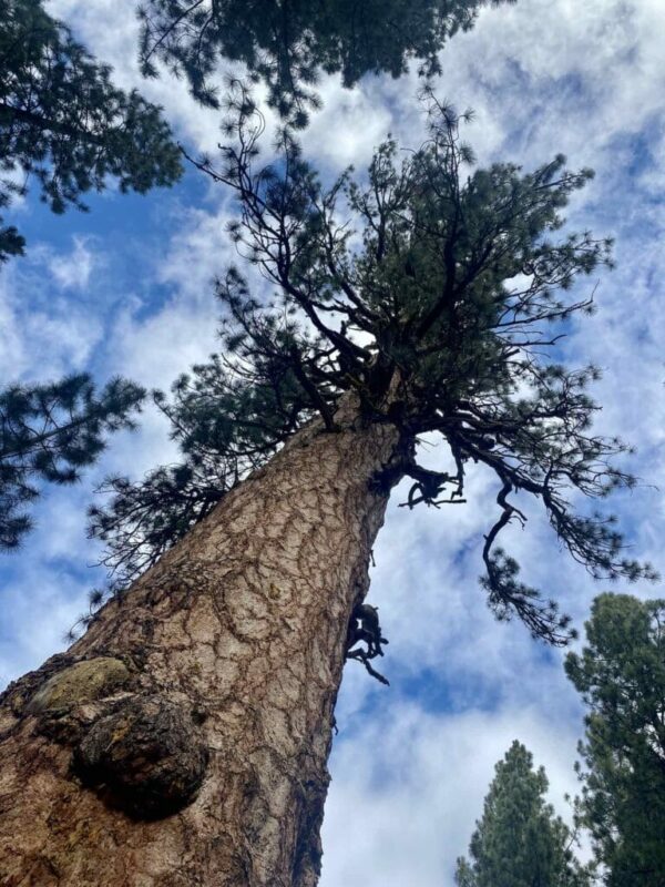
“Located about 150 feet from the Deschutes River, this big Pacific Ponderosa rises higher to the sky than all other big ponderosa trees on the nearby landscape. Many of its branches are bigger than the other, younger ponderosa trees that populate the Deschutes National Forest.
Big Red claims the crown as the biggest and perhaps the oldest of its kind ponderosa in the U.S. It’s been around longer than white settlement in North America. Tree experts have calculated its age at over 500 years and perhaps as much as 600 years old, sprouting from the seeds of a cone around the years of 1400-1500 AD.” [The Source]
When We Like to Ride This
Almost anytime from late spring (let the snow melt and allow the ground to dry out) through late fall.
Terrain & Riding
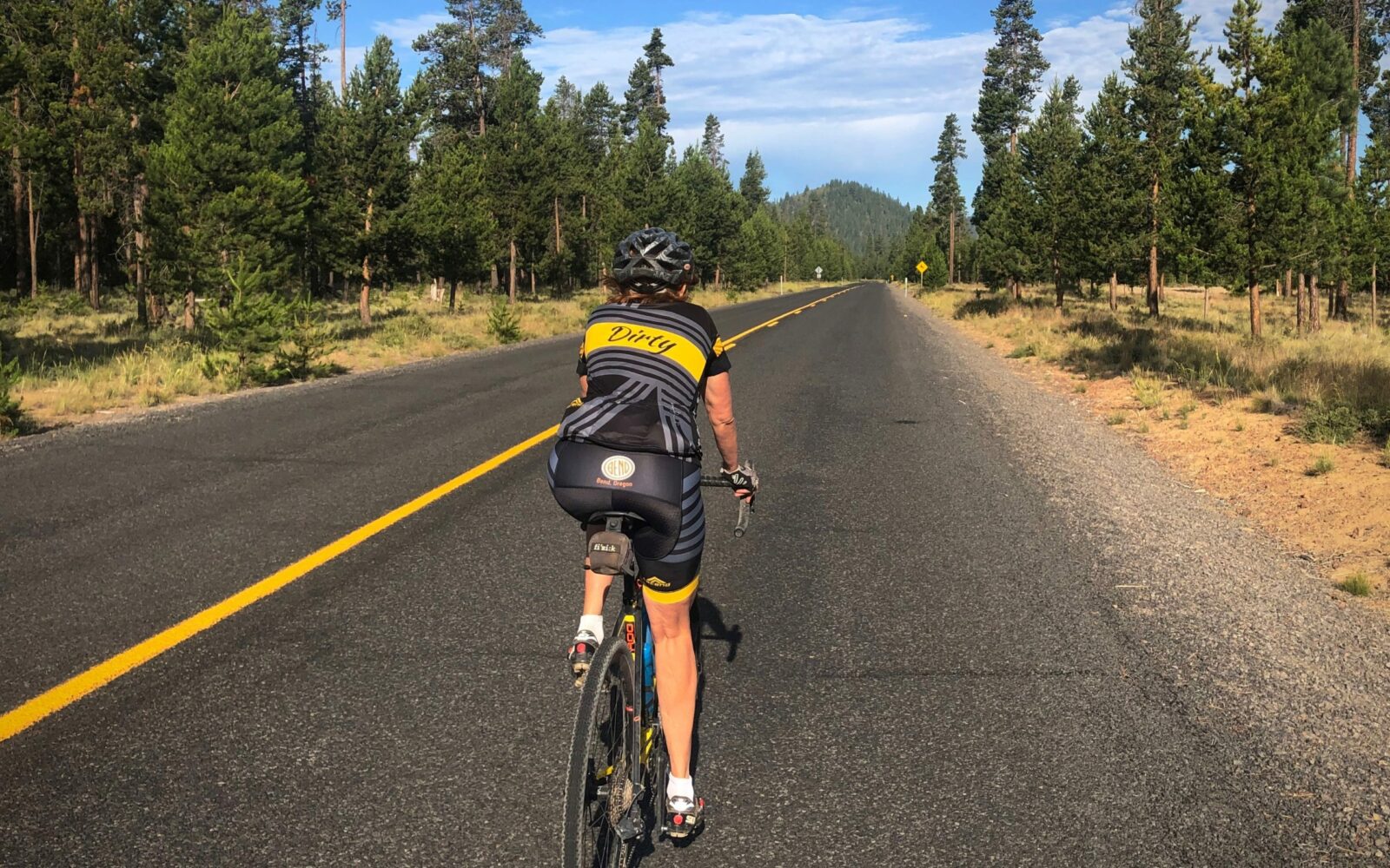
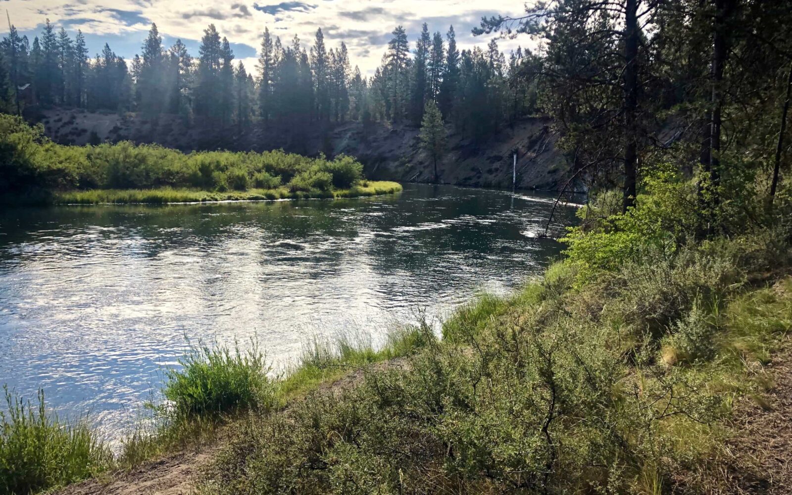
A highly scenic ride (meadows and waterfalls) meandering along the Deschutes River through big Ponderosa trees on a mix of wide single-track and double-track. Overall, the terrain is mostly flat, with a couple of short uphill and downhill pitches and a small climb up and around Bates Butte near the start of the ride. There is no rocky, technical single-track.
The beginning and end of the ride are a bit more urban as you pass by some homes, but that soon fades as you enter LaPine State Park.
We love this ride for its scenic payoff, fun (but not technical) single-track, and its proximity to town.
The Start
Just east of the intersection of the Deschutes River and South Century Drive. No parking permit required.
Food & Water
- ~ Mile 8.6: Campground. Will need to leave the trail just a bit and go into the campground.
Route Notes
This is a ride suitable for an advanced beginner. It has little elevation gain, but it does have about 6 miles of single-track … mostly smooth and rolling with a few roots and a bit of sand.
There are a bunch of turns, most are unsigned. If this is your first time of the route, you most likely will miss a turn. However, the results of a missed turn on non-consequential. Hint: watch your GPS track closely! Zoom in!
This route runs mostly through the state park and surrounding area, both which are lightly populated with homes.
Route Options
A shorter version of this route, what we like to call the Family Friendly version, can be had by parking at the Big Red trailhead (Lat / Long: 43.769755, -121.518360) and doing an Out & Back to Fall River Falls. From the parking lot, go directly north and pick up the route at mile 6.5. Fall River Falls is at mile 13.2, making for a round trip of 13.4 miles. To get to the Big Red trailhead, take State Recreation road west from Highway 97 for 4.3 miles and turn right on Bench Leg Road. Go 0.7 miles to the parking area / trailhead.
A longer version of this ride is Big Big Red. It is a 5-Star route, but we have yet to fully document it. Thus, for the time being we have tagged it as a Development Route.
Love Where You Ride! Learn More
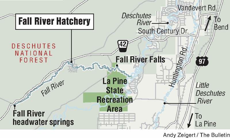 As you pedal the gravel roads of Big Red and enjoy the beauty of the Deschutes and Fall Rivers, remember that your fishy friends are swimming in those very waters. After your ride, go check out the nearby Fall River Hatchery. The hatchery is a fish-tastic wonderland that cranks out legal and trophy-sized rainbow trout like nobody’s business. The hatchery also provides baby rainbow, brook, and cutthroat trout for stocking programs all over the state. Don’t be koi, come on down to the hatchery and see what all the fuss is about!
Videos
The Ride! Big Red
A quick 2-minute video of what to expect on your ride!
Deschutes River – Change the Story
The Deschutes River runs through the heart of Central Oregon. For the past century, the river has been managed to serve irrigation needs. This has had a negative impact on flows and the health of the river. Together with our community, the Deschutes River Conservancy is helping to change the [...]
Podcasts
Single-Track Trail Etiquette (Who has the right of way?)
Ever wonder who has right of way on those single-track trails? Downhill rider? Uphill rider? The runner? Who? In this episode of The Connection, we speak with Emmy Andrews the Executive Director of the Central Oregon Trails [...]
Ridden and Reviewed by:




Have you ridden this route? Got a question? Join the discussion!