
Hat Creek Crossing














Caution! We do not provide turn-by-turn directions in our GPX files. Those are auto-generated by your bike computer and are usually less than 70% accurate. Learn more.
For help loading a GPX file onto your bike computer, go here.
DownloadHighlights & Remarkable Spots
Intermountain Fairgrounds / Mile 0
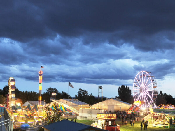
The ride starts at the Intermountain Fairgrounds in McArthur, California; if you are there at the right time, it hosts a county fair, a destruction derby, a cutting horse show, and a hot air balloon festival.
Fall River / Mile ~4.8
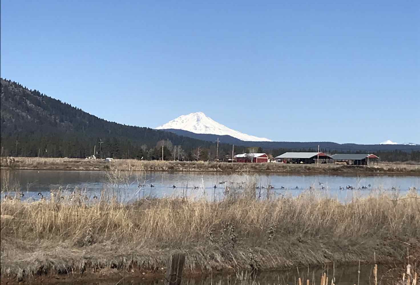
Shortly after leaving the fairgrounds, you cross the famous Blue Ribbon Waters of Fall River. Blue Ribbon Waters are some of the most diverse, pure, and noteworthy fly fishing waters in the world.
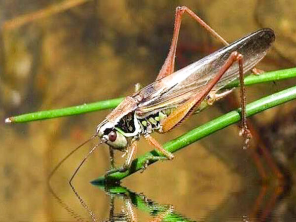
If you are here from mid-June to early August and if your timing is just right you will experience the Hexagenia Hatch on the Fall River. Hexagenia are relatively large aquatic insects that hatch for a couple of weeks in the early summer. The large, fast-growing trout of the Fall River key in on the insect hatch which occurs just after sunset and makes it one of the best times of year to fish on Fall River.
In the winter and spring, the valley is host to thousands of ducks and geese. The area is on the western flyway for many bird species. Bird watchers delight in all the Avarian species to be spotted in the area.
Glenburn Church / Mile ~5.2
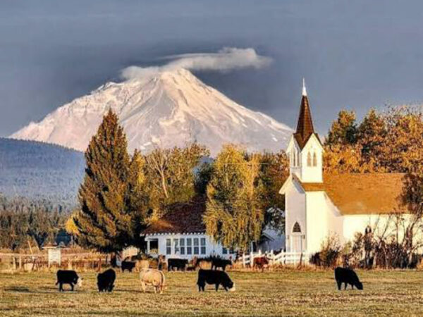
Shortly after crossing the Fall River, you pass by the historic Glenburn church established in 1885. It is beautifully maintained and still holds weekly services to this day.
Hat Creek / Mile ~18.4
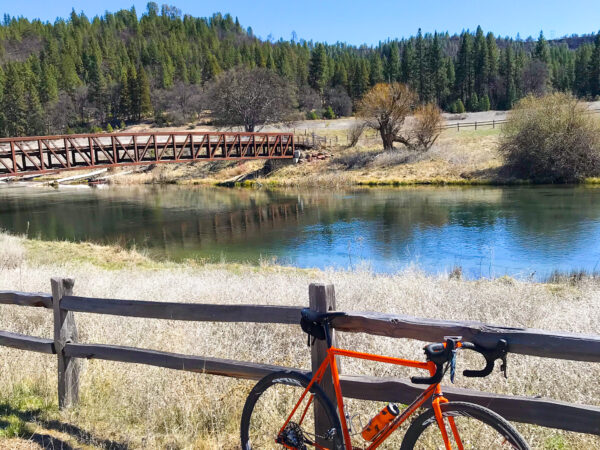
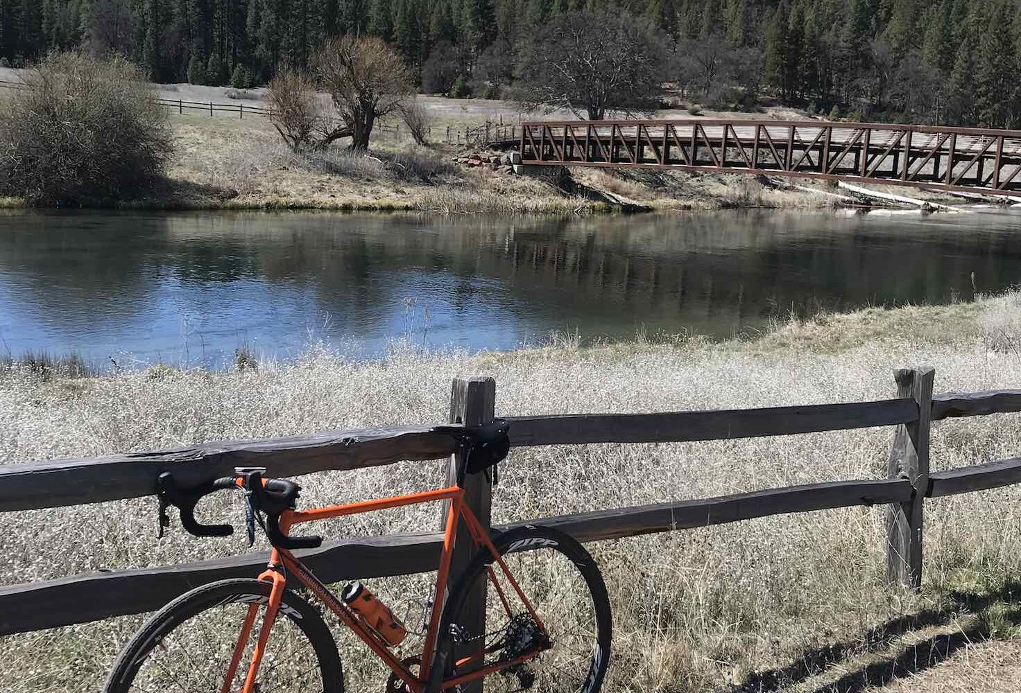
After crossing the Pit River turn immediately left. Go through the gate leading to a dirt road leading to the Hat Creek Wild Trout section of the river. You will arrive at a beautiful spot on the river with a footbridge crossing. This is another Blue Ribbon Waters section managed for wild trout since the 1970s.
Sculpture Park / Mile ~22
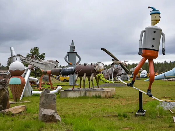
The sculptures are made from large metal machine parts and include dinosaurs, spaceship, trout, giant ant, giraffe, and many more.
Crystal Lake Fish Hatchery / Mile ~24.6

Get off the bike and stroll by the fish pins. You may see some of the rare albino trout population the hatchery maintains.
The town of Cassel / Mile ~25.6
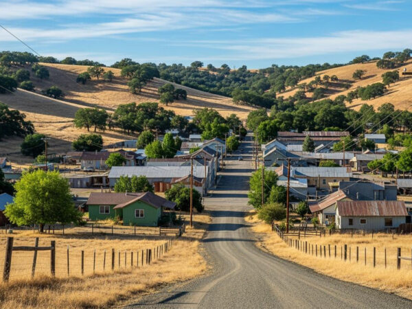
Once on the road again, you will have a gravel climb past the State Campground adjacent to the small community of Cassel. This is another popular fishing area known as Rising River.
Lava Wilderness / Mile ~ 33.9
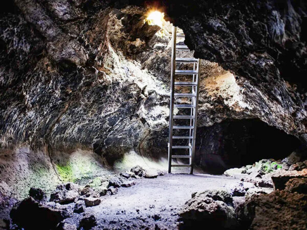
It’s paved from Cassel until you turn right onto an unnamed gravel road that leads you into the Lava Wilderness Study Area. Along this section you will pass Cinder pit, a natural cinder formation that has unfortunately become a unauthorized shooting range. Near the Cinder pit is a small parking area for access to the nearby Volcanic Popcorn caves.
Fall River Valley / Mile 43 to 51
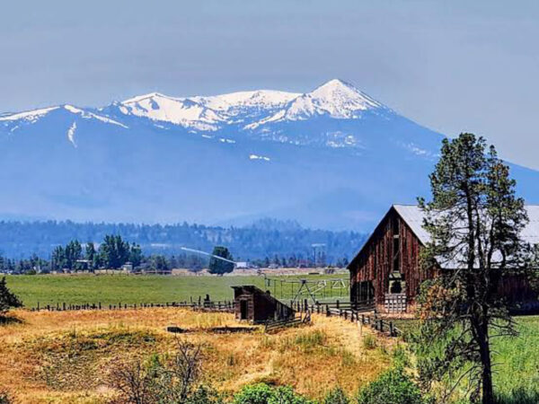
Fall River Valley is farm country. Wild Rice, Hay, Strawberries, Alfalfa, Mint and more are grown in the area. Driscoll Berry Farms has a large operation that supplies Strawberry shoots to the Berry Industry here.
When We Like to Ride This
Spring and Fall are the best times for this route. Most of the gravel is on a solid base and drains well. Spring has the added benefit of duck and geese populations traversing the Western Flyway.
Terrain & Riding
Terrain
Hat Creek Crossing covers roughly 51.5 miles and climbs about 3,500 feet total, with elevation running between 2,760 and 3,910 feet — a moderate profile with a few sections that demand real attention. The ride starts on pavement out of the fairgrounds before hitting its first gravel sector around mile 8: a 500-foot climb up to a ridge line along Soldier Mountain that opens up to views of Burney Mountain and the valley where Hat Creek meets the Pit River, and it’s worth pausing to take it in before the descent. That descent includes a mile-long stretch that’s deeply rutted — go slow and stay off the brakes-and-panic instinct. This route is mapped in this direction for a reason; climbing that rutted section from the other side would be brutal.
From there the road eases up along Hat Creek and the Pit River before the second climb of the day, a gradual gravel grind into the Lava Wilderness Study Area that tops out near mile 40. This is the most remote-feeling stretch of the route: cinder formations, lava rock, and high desert scrub replace the farmland and river corridors of the early miles. The surface here is a mix of hardpack and loose gravel, with the “Cinder Cone” road into the Study Area being the rougher of the two gravel sectors on the ride. After that, it’s a long, rolling descent back down into Fall River Valley and a mellow return to the fairgrounds on pavement and light gravel.
Flora & Fauna
The route moves through three distinct ecosystems in a single day. The lower valley sections — Fall River, Hat Creek, and Fall River Valley — are riparian and agricultural: cottonwoods and willows line the waterways, and the fields around you are growing wild rice, hay, strawberries, alfalfa, and mint. This is prime bird habitat, too. The Fall River valley sits on the Pacific Flyway, and in winter and spring it hosts thousands of ducks and geese, along with a wide range of other species that keep birdwatchers coming back. If you’re riding through in early summer, keep an eye on the water around dusk — the Hexagenia hatch on Fall River draws big, actively feeding trout to the surface, and it’s one of the best fishing windows of the year.
Climbing out of the valley, the terrain shifts to mixed conifer forest — pine and juniper stands typical of California’s high desert transition zone — before opening into the volcanic scrubland of the Lava Wilderness Study Area, where sagebrush and hardy high-desert plants take over and tree cover thins out. Both Hat Creek and Fall River are Blue Ribbon Waters, and the Hat Creek Wild Trout section near mile 18 has been managed for wild trout since the 1970s — a good reminder that this route threads through some genuinely significant coldwater fisheries, not just scenic river crossings.
Food & Water
- ~ Mile 25. Water at Cassel campground.
Route Notes
I rode 35mm tires for this ride, although I don’t think you would have any trouble going as low as 30mm. The gravel sections have a solid base.
Route Options
You can shorten the route by going straight at mile 34, staying on Fall River Cassel Road rather than taking a right, which leads through the Lava Wilderness section. If you choose this option, it is a 7.5-mile road ride back to the Fairgrounds: Fall River Cassel Road to Fall River, then Right on Highway 299 back to McArthur. Highway 299 has a bike lane between Fall River Mills and McArthur.
Love Where You Ride! Learn More
 California Trout has been active in the restoration of waters for the last 50 years. Along this route you will experience some of their work first hand at Fall River and Hat Creek – some of the best trout fishing waters in the US and the world. We encourage you to learn more about their work, advocate on their behalf and possibly contribute back with time, talent or money.
Ridden and Reviewed by:


Have you ridden this route? Got a question? Join the discussion!