
Conductor Willy










Caution! We do not provide turn-by-turn directions in our GPX files. Those are auto-generated by your bike computer and are usually less than 70% accurate. Learn more.
For help loading a GPX file onto your bike computer, go here.
DownloadWhen We Like to Ride This
Almost any time of year. This route rarely holds snow during the winter.
We like it in the spring when when the reservoir is full and the river is running strong; in the summer, when the forest provides shade and coolness; in the fall with autumn colors and soft light; and in the winter when looking for a reliable ride.
Terrain & Riding
From Signal Point to Westfir, West Boundary Road follows the north shore of Lookout Point Lake through classic West Cascades forest. The reservoir/lake occupies the former Middle Fork of the Willamette River valley and is surrounded by densely forested slopes that rise several thousand feet above the water.
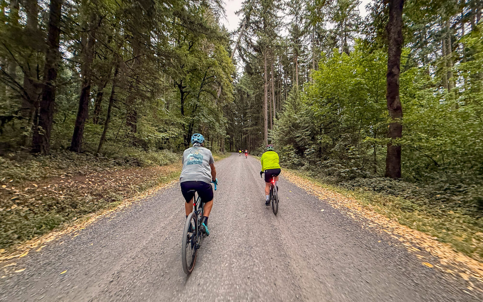
You’ll spend much of the ride beneath a canopy of Douglas-fir and western hemlock, with bigleaf maple and red alder appearing in wetter draws and along streams. Western red cedar becomes more common in cool, shaded areas. The forest floor is covered with sword ferns, salal, Oregon grape, vine maple, moss-covered logs, and seasonal wildflowers. The dense canopy provides shade for much of the route.
West Boundary Road begins as a two-lane county maintained gravel road before transitioning at the halfway point into a narrow one-lane Forest Service gravel and dirt road. Rather than long, sustained climbs, the route features rolling terrain and frequent bends as it follows the shoreline and crosses small drainages that feed the lake. The dense forest often limits long-distance views, with occasional openings overlooking Lookout Point Lake. As you approach Westfir, the terrain gradually transitions from steep forested slopes to the broader Middle Fork Willamette River valley and adjacent wetlands.
The result is a remote ride through one of Oregon’s temperate forests. The scenery is defined more by dense forest, cool mountain air, and the surrounding landscape than by expansive viewpoints.
The Start
Paved parking day use area and boat launch. At entrance keep left for the day use parking. Pit toilet. No fee.
Food & Water
- ~ mile 17 / Westfir Lodge and Mountain Market. Seasonal. Check hours.
- ~ turnaround point + 3 miles / Sweetvine Cafe
Route Notes
We have tagged this as a remote ride. However, you will most likely encounter fisherman, campers, and a vehicle or two. However, this is very limited cell phone service.
Route Options
Westfir / Oakridge Loop
This loop exits the route proper just as you drop into the community of Westfir. You can ride it in either direction to Oakridge. The southern option has a bit more traffic but less climbing. The northern version is has one significant hill of 500 feet at a 4 to 6% gradient.
- Route Map: Westfir / Oakridge Loop
- GPX File: Download
Longer Optin
Lookout Point dam start. 45 miles, 2300 feet of gain, 70% gravel, 30% paved. There is a park and parking area just past the dam. It is signed as Meridian Park. Pit toilets. This option adds 5 miles (10 in total) of quiet paved roads to the start and finish.
- Route Map: Wallowa Barn Tour (Joseph Start)
- GPX File: Download
- Start Lat/Long: 43.917150, -122.751600





Have you ridden this route? Got a question? Join the discussion!