






Dirty Freehub
Favorites Sign In Search
  • Search
  • Donate
  • Gravel Rides
    • Explore by Region
    • Explore by Route Type
    • Explore by Collection
  • Programs
    • All Access®
    • Dirty Roads Crew
    • Gravel Champs
    • Passport Challenge
    • Route Stewardship
  • Stories
    • Bike Life
    • Culture & History
      • Central Oregon
      • NE Oregon
      • Bend Trails
      • Death Valley
    • People & Places
    • Lands
      • Arizona
      • Central Oregon
      • NE Oregon
    • Love Where You Ride
  • Events
    • Rides, Races & More
    • Submit Your Event
  • Help
    • Route Types
    • The Route Development Process
    • How We Rate Routes
    • Using the Searchable Map
    • Loading a GPX File
    • GravelPlex Maps
    • Glossary
    • FAQs
  • About
    • The Team
    • Our Missions
    • Impact Reports
    • Jobs + Volunteer
    • Press
    • Sponsors
    • Contact Us
  • Store
    • Gravel Guides
    • Merch
  • Donate
  • Cart
  • Sign In
  • Favorites

Dirty Aufderheide

5 Star (Premiere) Route / ~ Eugene, Oregon / Published: Mar 2026 / Updated: Aug 2026 / Directions
Save to Favorites Remove from Favorites
*
Route:
Loop | 124 mi
*
Gain:
11,100 ft
*
Surface:
33% gravel, 2% single-track, 65% paved
*
Technical Difficulty:
Moderate
*
Navigation:
Attention Required
*
Locale:
Remote
*
Tire Suggestion:
45 mm+
*
Options:
Shorter, Credit Card Tour

This route reimagines the classic Aufderheide bike ride (read a great recap of that ride from M Jackson) as a mixed-surface adventure—building on the iconic classic road ride while pushing deeper into the surrounding mountains. It follows roughly 90% of the traditional Aufderheide route (marked in black on the map below), periodically branching off onto remote Forest Service roads that climb high above the river corridors and into quieter, more rugged terrain. The result is a true backcountry experience. While technically a lollipop with a short stick, it rides and feels like one big, immersive loop.

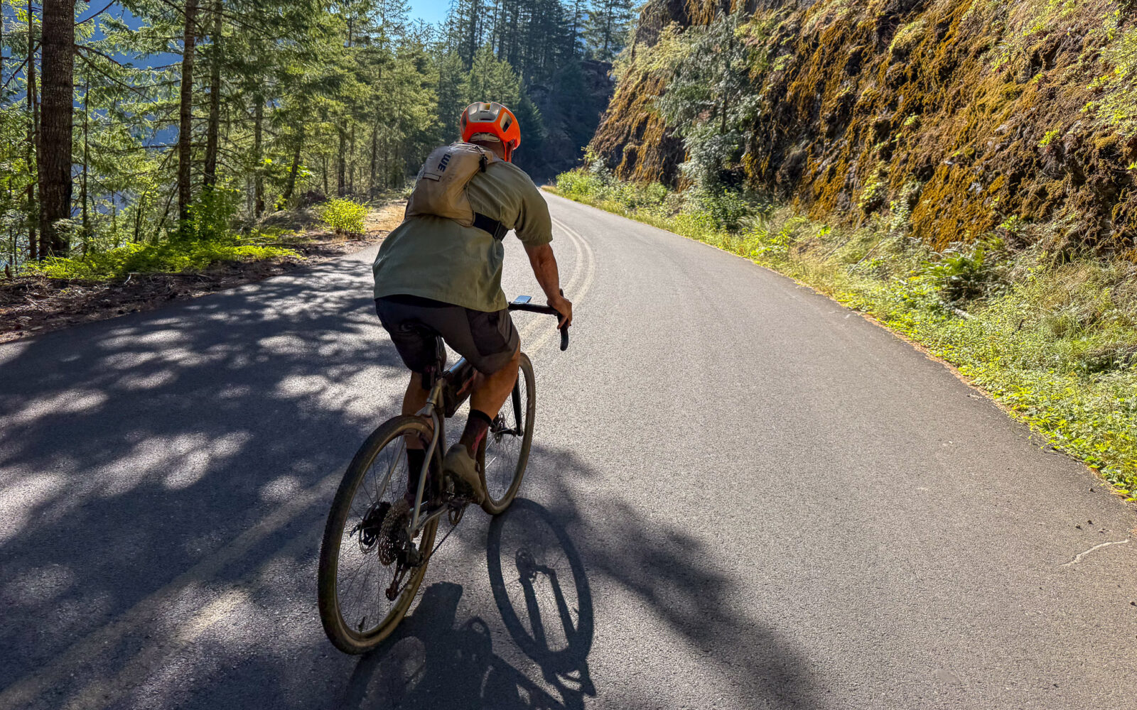
Tucked deep within Oregon’s Cascade Range, Aufderheide Drive (Forest Service Road 19) is a quiet ribbon connecting the McKenzie River (Highway 126) to Oakridge (Highway 58). Winding through the heart of the Willamette National Forest, the route traces cold, clear rivers and slips beneath a dense canopy of towering fir and cedar, offering a rare sense of immersion in the natural world. The Aufderheide reveals a landscape shaped by water and time—mountain peaks, hidden lakes, cascading waterfalls, and rushing creeks unfold along the route.

Our gravel variation adds a new dimension. Steeper climbs lead to higher elevations, broader views, and a deeper sense of solitude—places the classic road ride never reaches. It’s a more demanding version of the Aufderheide, but also a more expansive one.

By the Numbers:
Name Distance Elevation gain Surface
Dirty Aufderheide 124 mi 11,100 ft 65% paved / 35% unpaved
Classic Aufderheide 116 mi 7,800 ft 100% paved

We will be adding to this route guide (we have ridden the entire route, it is 5-Star) over the next several months, but we wanted to publish this it when the riding is great. As of March 20, 2026 it is snow free and they have just graded many of the gravel roads. With this said, we would appreciate your insights on where to stay, where to eat. We are super preferential to places that are locally owned.

See the Notes tabs for different ways to ride this route: as one big day, as a two-day, etc.

On the map, we have designated the classic Aufderheide FS-19 road in black. In red, are other paved roads along the route but are not part of the Classic road bike route.

Read More
Map
Brown = gravel / dirt road
Blue = single track
Red = paved road
Purple = paved bike path
GPX Download

Caution! We do not provide turn-by-turn directions in our GPX files. Those are auto-generated by your bike computer and are usually less than 70% accurate. Learn more.

For help loading a GPX file onto your bike computer, go here.

Download

⚠️ GPX download won’t work in this browser

You’re viewing this in Facebook’s built-in browser, which blocks GPX file downloads. To download the file, use either of these options:

  • Tap the ••• (or ≡) menu in the top corner of the screen and select Open in External Browser.
  • Open the route guide directly in Chrome or Safari.

Once the route guide is open in your browser, tap the GPX Download button again.

Got it
Learn More

Credits & Acknowledgements

This route guide was funded in part by Travel Lane County.
Ride Details

When We Like to Ride This

Jan
Feb
Mar
Apr
May
Jun
Jul
Aug
Sep
Oct
Nov
Dec
Not Rideable
Possibly Rideable
Rideable

Mid spring to late fall. In the spring and early summer the creeks are full and rushing. In the fall, you have the beauty of the leaves changing color. In the summer, the route is an escape from the heat.

The Start

Upper McKenzie Community Center
Lat / Long: 44.16940675589262, -122.2256201461802

Please notifyAlyssa at Horse Creek Lodge before parking there overnight. Note that this is not a monitored parking lot. We also recommend a $10 doantion to the community center for use of the lot.

Alt Start / Westfir Lodge
Lat / Long: 43.75824059398043, -122.49492863491834

Please check with the lodge regarding parking.

Notes & Options

Route Notes

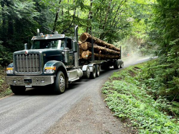
  1. You’ll be traveling through active timberlands along this route—stay informed and ride with confidence. Take a moment to explore our resource guide and associated podcasts for tips that could make all the difference out there.

Route Options

Two-Day / Counterclockwise
Day 1: From Belknap Covered Bridge to Oakridge. 57 miles, 6000 feet gain, 5900 feet loss. 40% unpaved.

Where to stay:
Westfir Inn. They’ll even shuttle you into town for dinner so you don’t have to bike the extra 4 miles there and back.
Oakridge Inn & Suites (local?)
VRBO Listings
Need recommendations. More interested in locally owned.

Places to eat:
3 Legged Crane
Need recommendations. More interested in locally owned.

Day2: From Oakridge back to Belknap Covered Bridge. 67 miles, 5200 feet of gain, 5300 feet of loss. 30% unpaved.


The Westfire One-Day
Looking to do the Dirty Aufderheide in one-day? This is our recommended route. 114 miles / 10,500 feet of gain.

  • Route Map: The Dirty Aufderheide (Westfir One-Day)
  • GPX File: Download
  • Start Lat/Long: 43.759060, -122.496475 (Office Covered Bridge parking area)
Comments

Have you ridden this route? Got a question? Join the discussion!

I Did The Dirty!

Dirty Aufderheide StickerCompleted the ride? We’d love to hear about it! Share your experience in the comments section of this route guide. Or better yet, leave a comment here and post about your adventure on social media.

Follow this link to claim your free sticker. During checkout, enter the coupon code DirtyAUF! to receive your sticker at no cost.

Be Informed!
Timberlands Riding Etiquette

During your ride, you may come across active timber harvesting operations. To stay safe, protect the workers, and avoid any conflicts, please review the guidelines on our Tips and Information page.

Read More »

Keep it Local! Learn More

Westfir Lodge

Westfir/Oakridge

The Westfir/Oakridge area makes a perfect stop for this as a two-day ride. Places we like and recommend are:

Lodging
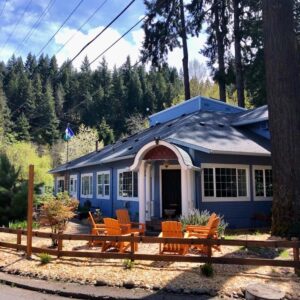
Westfir Lodge – upscale, quiet, and convenient. 8 rooms, small market, and lunch and breakfast available. They’ll even shuttle you into town for dinner so you don’t have to bike the extra 4 miles there and back.

Food and Drink
Dinks market!! Locally owned. They have homemade chocolate dipped ice cream, mango lassi and aside from the normal convenience mart hot case, they make Indian food on the weekends, which always comes out hot and fresh. Made to order. It’s my favorite place to eat in Oakridge.

Authentic Winnie. Thai food- very good green curry.

The Campfire. Burritos, bowls, etc. Can accommodate a lot of dietary restrictions/preferences.

Sweet Vine Cafe & Bake Shop. Amazing baked goods, delicious breakfast. A must stop for us!

Outfitters

Oakridge, Oregon bike shop.

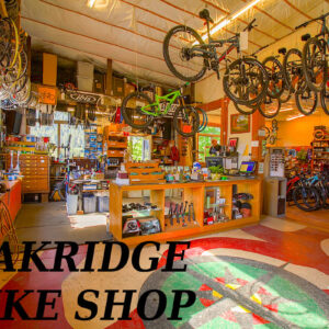
Oakridge Bike Shop & Willamette Mountain Mercantile

This is your go to shop if you need any repairs or parts mid-ride. Even if you’re not in need of anything stop in and say hi. Tell them Dirty Freehub sent you.

Explore Similar Routes:

Bikepacking / CC Tours

Sign Up for the Dirty Freehub Newsletter

info@DirtyFreehub.org
Terms of Service Privacy EEO Policy Our Values
Dirty Freehub is 501(c)3 non-profit organization.
©2026 Dirty Freehub :: Website Design
Cleantalk Pixel

WHY WE’RE DIFFERENT!

Eight scouting rides. Two community rides. More than a dozen mapped variations.

We just published the McCool route—but getting it ready took time. We rode it again and again, tested multiple options, and refined every mile before publishing it.

That’s the Dirty Freehub difference: routes that are vetted, curated, and maintained. If you value that kind of fieldwork, please support Dirty Freehub with a donation.

Donate Today