






Dirty Freehub
Favorites Sign In Search
  • Search
  • Donate
  • Gravel Rides
    • Explore by Region
    • Explore by Route Type
    • Explore by Collection
  • Programs
    • All Access®
    • Dirty Roads Crew
    • Gravel Champs
    • Passport Challenge
    • Route Stewardship
  • Stories
    • Bike Life
    • Culture & History
      • Central Oregon
      • NE Oregon
      • Bend Trails
      • Death Valley
    • People & Places
    • Lands
      • Arizona
      • Central Oregon
      • NE Oregon
    • Love Where You Ride
  • Events
    • Rides, Races & More
    • Submit Your Event
  • Help
    • Route Types
    • The Route Development Process
    • How We Rate Routes
    • Using the Searchable Map
    • Loading a GPX File
    • GravelPlex Maps
    • Glossary
    • FAQs
  • About
    • The Team
    • Our Missions
    • Impact Reports
    • Jobs + Volunteer
    • Press
    • Sponsors
    • Contact Us
  • Store
    • Gravel Guides
    • Merch
  • Donate
  • Cart
  • Sign In
  • Favorites

The Mighty Fraser

Development Route / ~ Lillooet, British Columbia / Published: Sep 2026 / Directions
Save to Favorites Remove from Favorites
The Marble Range in the background.
Follow the signs to Big Bar Ferry.
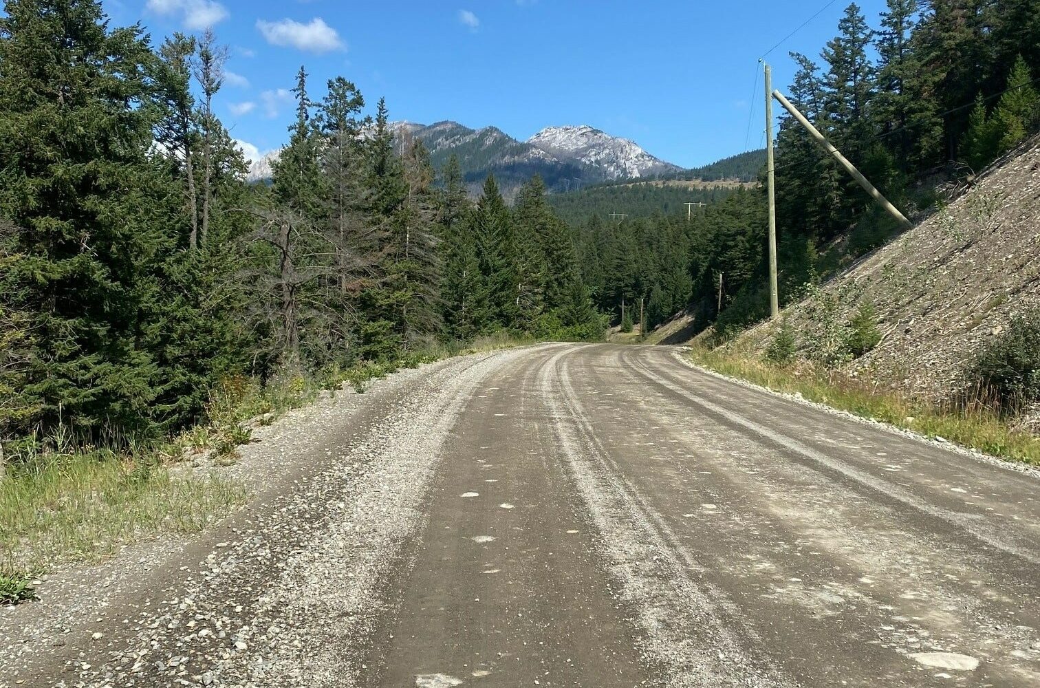
White roads of the Cariboo.
Paradise? We know so!
Big Bar Ferry.
All aboard! ~ mile 40.
Cable car.
Morning view... Not your average ride by any means this one is special.
Opening climb after the ferry, it's savage, no shame in walking.
You want switchbacks? We got 'em!
Our backyard is one of a kind!
The ride just keeps on delivering the goods!
First descent on West Pavilion Road. It's a MONSTER!
The reward!
*
Route:
Loop | 128 mi
*
Gain:
18,220 ft
*
Surface:
70% gravel, ~30% paved
*
Technical Difficulty:
Moderate
*
Navigation:
Attention Required
*
Locale:
Extremely Remote
*
Tire Suggestion:
40 mm
*
Options:
---

This is a route worthy of being in a pro tour like the Giro d’Italia, complete with a wine tasting stop!

Experience a unique crossing of the mighty Fraser River on a hand-drawn ferry, tackle big climbs with amazing views, make a stop at a lake that NASA has an interest in, and pass through indigenous First Nation lands. This and more await the strong who set out on this route.

Look at the profile and you get the picture. Switchback heaven, climbs that make your legs hurt, and big descents. Be prepared for a sun up to sun down mission.

Just after the ferry crossing, if you can clean the entire climb, you can call yourself a climber … but no shame in walking either. Be sure to snap a few photos on your ride as you will want proof of the journey to show your buddies.

Read More
Map
Brown = gravel / dirt road
Blue = single track
Red = paved road
Purple = paved bike path
GPX Download
(Version 0.1)

Caution! We do not provide turn-by-turn directions in our GPX files. Those are auto-generated by your bike computer and are usually less than 70% accurate. Learn more.

For help loading a GPX file onto your bike computer, go here.

Download

⚠️ GPX download won’t work in this browser

You’re viewing this in Facebook’s built-in browser, which blocks GPX file downloads. To download the file, use either of these options:

  • Tap the ••• (or ≡) menu in the top corner of the screen and select Open in External Browser.
  • Open the route guide directly in Chrome or Safari.

Once the route guide is open in your browser, tap the GPX Download button again.

Got it
Learn More
Ride Details

When We Like to Ride This

Early spring to late fall.

Terrain & Riding

A ride totally worthy of being called epic, you name it and this ride will deliver. Roll out early because you are in for a long day.

The pavement section to the town of Pavillion (~ mile 20) gives your body a chance to warmup for the demanding day ahead. From here, climb up and over to Kelly Lake. The ride takes a turn for SAVAGE on the suffer meter at this point. Rip the switchback descent to Kelly Lake to fill up your bottles and lick your wounds because you’re almost done!

After a nice warmup begin the climb up to on Kelly Lake. Take a few minutes to snap some photos at the Cougar Point Lookout. Here get a first glimpse of the incredible scenery that you will be riding through for the next few hours.

Burn down the 23% descent to the valley and roll along the picturesque road to Big Bar Ferry. Hop on board the car ferry or if you’re lucky, the cable car and be transported to the west side of the Fraser River.

Back on your bike, settle into one of the hardest but most scenic climbs around. Summit this monster and be treated to a series of climbs and ripping descents leading you to the village of Lillooet. Fuel up on food and water here and gather yourself as there still is a long way to go.

The Start

Old Bridge Parking Area
Lat / Long: 50.711777, -121.913513

Dirt parking lot on the west side of the Old Bridge.

Food & Water

  • ~ Mile 34: Water at Kelly Lake. Water tap is at the north end of the lake in the parking lot.
  • ~ Mile 64: Water at Big Bar Reaction Ferry
Notes & Options

Route Notes

  1. We’ve rated the technical difficulty as Moderate, but the aerobic and power demands are Extreme. Expect brutally steep climbs and descents, switchbacks galore, and exposed stretches where the wind can make a hard day even harder. In summer, the heat can crank up fast, so come prepared.

  2. There is little to no cell reception. Once you cross the Big Bar Ferry you really enter no man’s land and must commit. We recommend a Garmin InReach or similar satellite communication device.

  3. We recommend a red blinky on your bike for the paved sections.

  4. This route may ride better in the opposite direction, where the paved is at the end and is downhill. If you do it in the counterclockwise direction, we would love to hear your feedback, leave it in the comments section.

Comments

Have you ridden this route? Got a question? Join the discussion!

Caution! This is a Development Route

Go prepared and expect a bit more adventure. We have worked on this route and guide with several different riding groups, but it has not been fully vetted or ridden by the Dirty Freehub Team.

Any feedback you have would be much appreciated. You can leave it below in the comments block.

Love Where You Ride! Learn More

Much of this ride is through First Nations tribal territory. We believe it is important to take some time to learn about where you ride — the history, culture and heritage. One way you can do this is by visiting the town of Lillooet (~ mile 104).

Videos

Riding Caribou Country!

Big! Beautiful! Bold!

The Salmon and the First Nations People

Learn how the salmon plays a vital part in the First Nations’ diet and mythology.

Be Informed!
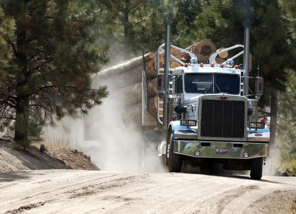
BC Logging Truck

British Columbia Resource Roads

Read this important post about protocol and etiquette when using British Columbia resource roads.

Read More »

Wildlife Impact

Wildlife Impact

Learn about the impact we have as gravel cyclists on wildlife. And yes, we have an impact, more than we think or see.

Read More »

Explore Similar Routes:

Epic Rides

Sign Up for the Dirty Freehub Newsletter

info@DirtyFreehub.org
Terms of Service Privacy EEO Policy Our Values
Dirty Freehub is 501(c)3 non-profit organization.
©2026 Dirty Freehub :: Website Design
Cleantalk Pixel

Tell Us How We’re Doing

Gravel rider on a rural Dirty Freehub route

From ride guides to rural economies — your answers shape what we do next.

Do our guides match reality? Do you trust what we publish? And when you drive to ride, how much does that trip put into the small towns along the way? Your answers help us improve — and help us prove gravel cycling’s real value to rural communities.

Ten minutes, confidential if you’d like, and it sets our direction for 2027.

Take the Survey