







Dirty Freehub
Favorites Sign In Search
  • Search
  • Donate
  • Gravel Rides
    • Explore by Region
    • Explore by Route Type
    • Explore by Collection
  • Programs
    • All Access®
    • Dirty Roads Crew
    • Gravel Champs
    • Passport Challenge
    • Route Stewardship
  • Stories
    • Bike Life
    • Culture & History
      • Central Oregon
      • NE Oregon
      • Bend Trails
      • Death Valley
    • People & Places
    • Lands
      • Arizona
      • Central Oregon
      • NE Oregon
    • Love Where You Ride
  • Events
    • Rides, Races & More
    • Submit Your Event
  • Help
    • Route Types
    • The Route Development Process
    • How We Rate Routes
    • Using the Searchable Map
    • Loading a GPX File
    • GravelPlex Maps
    • Glossary
    • FAQs
  • About
    • The Team
    • Our Missions
    • Impact Reports
    • Jobs + Volunteer
    • Press
    • Sponsors
    • Contact Us
  • Store
    • Gravel Guides
    • Merch
  • Donate
  • Cart
  • Sign In
  • Favorites

Oatlands

5 Star (Premiere) Route / Hobart, Tasmania / Published: Feb 2019 / Directions
Save to Favorites Remove from Favorites
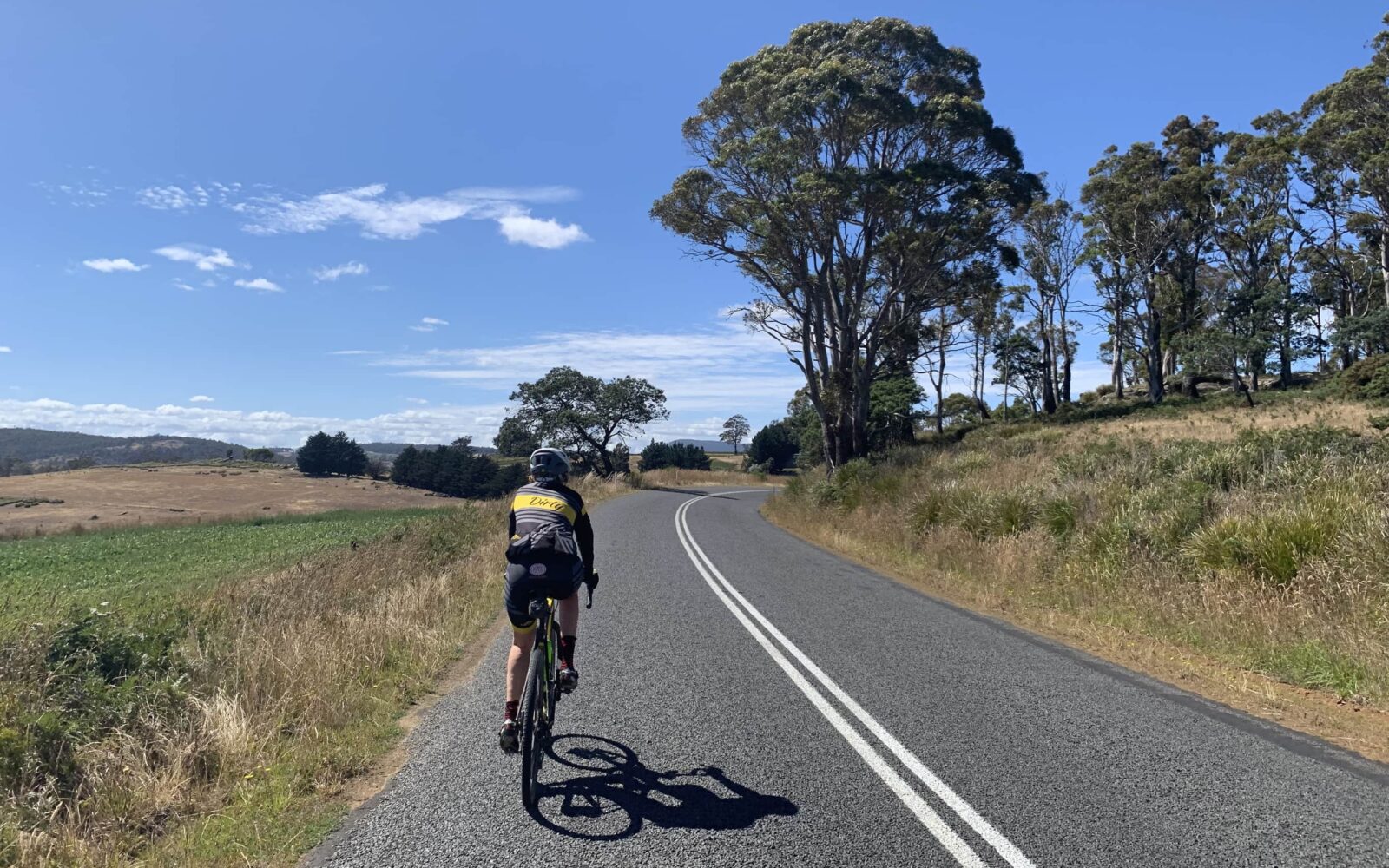
Rolling hills on gravel cycling route
Leading out! Rolling hills.
First gravel sector, cycling through tasmania
The first gravel sector, the scenery will only get better!
"Forested" section of gravel cycling route
The only "forested" section of the route.
Cyclist through gravel roads
Back onto gravel.
Horses
Stone structure
Stone structure
Tree
Deep in cycling route, heading east
Deep into the route, but still heading east.
Oatlands gravel cycling route
Near mile 25 (Km 40). Heading North.
Little Swanport river on gravel cycling route
Little Swanport river to the right.
Cyclist through oaklands, tasmania route
Cycling past an abandoned railway
The abandoned railway.
Back on pavement for cycling route
Back on pavement.
Cycling up the last hill in Oakland cycling route
The last hill.
TKO Bakery in Oatlands
The TKO bakery in Oatlands.
Parking area, the start of Oaklands gravel cycling route
Parking area, the start.
*
Route:
Loop | 37 mi
*
Gain:
2,900 ft
*
Surface:
65% gravel, 35% paved
*
Technical Difficulty:
Moderate
*
Navigation:
Straightforward
*
Locale:
Rural
*
Tire Suggestion:
40 mm+
*
Options:
---

Near the small township of Oatlands is a maze of a-maz-ing routes, this route was one of our favorites. The area is mostly quiet farming country with soft rolling hills … and fast, hard packed gravel.

The town of Oatlands, founded in 1821, is worth a tour; it’s fascinating history provides a mixture of historic buildings and businesses that embrace tourists. We recommend a stop at the TKO bakery which seems to be THE place to stop for anyone trekking between Launceston and Hobart.

Read More
Map
Brown = gravel / dirt road
Blue = single track
Red = paved road
Purple = paved bike path
GPX Download
(Version 1.0)

Caution! We do not provide turn-by-turn directions in our GPX files. Those are auto-generated by your bike computer and are usually less than 70% accurate. Learn more.

For help loading a GPX file onto your bike computer, go here.

Download

⚠️ GPX download won’t work in this browser

You’re viewing this in Facebook’s built-in browser, which blocks GPX file downloads. To download the file, use either of these options:

  • Tap the ••• (or ≡) menu in the top corner of the screen and select Open in External Browser.
  • Open the route guide directly in Chrome or Safari.

Once the route guide is open in your browser, tap the GPX Download button again.

Got it
Help
Ride Details

When We Like to Ride This

All year.

Terrain & Riding

Take a quick peak at the elevation profile. Because you’ll see the rolling hills that keep you headed generally downhill for the first half of the course, then back up for the second half.

This circular route starts on a paved road with a some traffic, but soon turns off onto a small gravel road. You’ll cut through farmlands which then mix into forests and back to more farmlands. We thought the route got more beautiful as we went along, but it could have been the endorphins kicking in!

The Start

Lat / Long: -42.33319, 147.40025

At the intersection of C310 and C312, about 19 Km south of Oatlands. Park in dirt area just off the east side of the road.

Food & Water

  • None
Notes & Options

Route Notes

  1. We recommend a red blinky light with rear looking radar detector (i.e. Garmin Varia)

Route Options

There is also a longer version of this route that we have listed as a training route. We mapped, but did not ride miles 28 to 50 (Km’s 45 to 80).

Comments

Have you ridden this route? Got a question? Join the discussion!

Ridden and Reviewed by:

KevinE

KevinE / Team Dirty Freehub

He should have “Never Stop Exploring” tattooed on his chest! He loves adventures on bikes and is a Co-Founder of Dirty Freehub.

LindaE (aka Gravel Girl)

LindaE (aka Gravel Girl) / Team Dirty Freehub

She loves a good day of gravel, like most people like a good book. She’s always amused by the outdoors and the wild adventures. Gravel Girl is a Co-Founder of Dirty Freehub.

Explore Similar Routes:

Farm Lands

Sign Up for the Dirty Freehub Newsletter

info@DirtyFreehub.org
Terms of Service Privacy EEO Policy Our Values
Dirty Freehub is 501(c)3 non-profit organization.
©2026 Dirty Freehub :: Website Design
Cleantalk Pixel

Tell Us How We’re Doing

Gravel rider on a rural Dirty Freehub route

From ride guides to rural economies — your answers shape what we do next.

Do our guides match reality? Do you trust what we publish? And when you drive to ride, how much does that trip put into the small towns along the way? Your answers help us improve — and help us prove gravel cycling’s real value to rural communities.

Ten minutes, confidential if you’d like, and it sets our direction for 2027.

Take the Survey


