











Dirty Freehub
Favorites Sign In Search
  • Search
  • Donate
  • Gravel Rides
    • Explore by Region
    • Explore by Route Type
    • Explore by Collection
  • Programs
    • All Access®
    • Dirty Roads Crew
    • Gravel Champs
    • Passport Challenge
    • Route Stewardship
  • Stories
    • Bike Life
    • Culture & History
      • Central Oregon
      • NE Oregon
      • Bend Trails
      • Death Valley
    • People & Places
    • Lands
      • Arizona
      • Central Oregon
      • NE Oregon
    • Love Where You Ride
  • Events
    • Rides, Races & More
    • Submit Your Event
  • Help
    • Route Types
    • The Route Development Process
    • How We Rate Routes
    • Using the Searchable Map
    • Loading a GPX File
    • GravelPlex Maps
    • Glossary
    • FAQs
  • About
    • The Team
    • Our Missions
    • Impact Reports
    • Jobs + Volunteer
    • Press
    • Sponsors
    • Contact Us
  • Store
    • Gravel Guides
    • Merch
  • Donate
  • Cart
  • Sign In
  • Favorites

Siltcoos Station

Development Route / ~ Reedsport, Oregon / Published: Jul 2024 / Directions
Save to Favorites Remove from Favorites
*
Route:
Lollipop | 17 mi
*
Gain:
1,000 ft
*
Surface:
15% gravel / 85% paved
*
Technical Difficulty:
Easier
*
Max Gradient:
+10% / -10%
*
Sustained Gradient:
6% over 0.75 miles
*
Climb Ratio:
0.6
*
Effort:
1 (out of 5)
*
Navigation:
Straightforward
*
Locale:
Rural
*
Tire Suggestion:
40 mm+
*
Options:
Longer

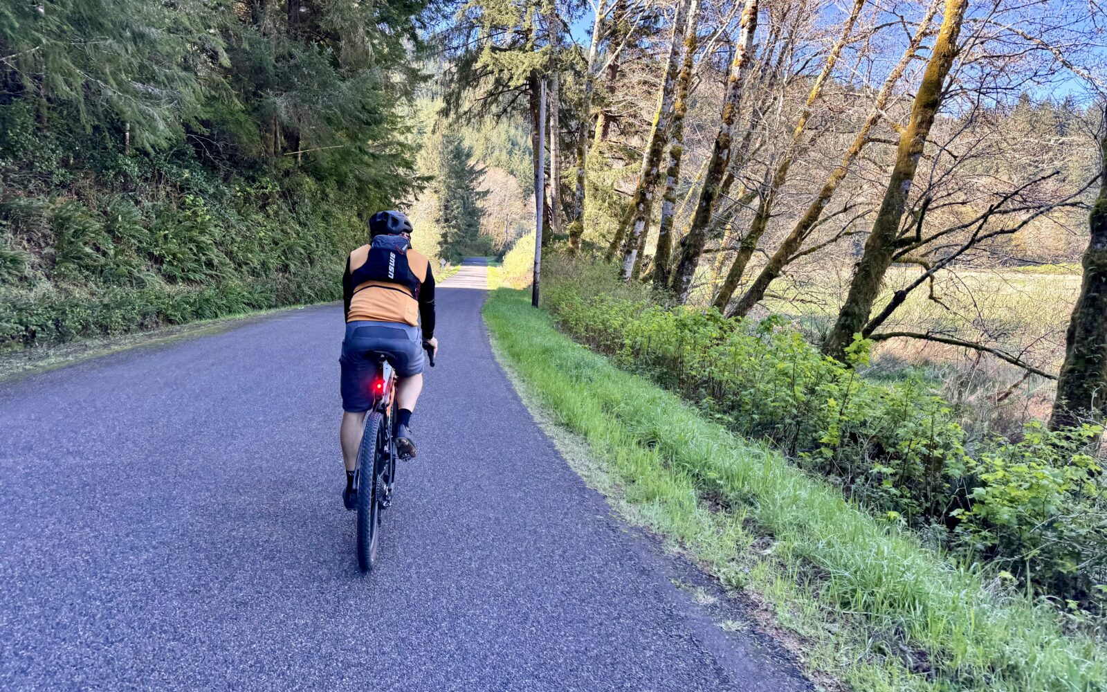
This primarily road route, albeit on mostly narrow, winding roads highlights the scenic beauty of Siltcoos Lake and the surrounding wetlands. It is a perfect introduction to gravel riding.

Siltcoos lake was formed in the aftermath of the last ice age when rising sea levels and shifting dunes and sand deposits shaped the coastal landscape. Siltcoos Lake, the largest on the Oregon coast with a surface area of 3,164 acres, derives its name from the Siuslaw people, who lived in the region for at least 8,000 years before European settlement.

We have ridden this entire route, and it is wonderful! However, we have yet to secure the funding and resources to document the ride fully (you can help by donating!), thus the Development Route tag. If you give the route a go, please comment about your experiences in the comments block.
Read More
Map
Brown = gravel / dirt road
Blue = single track
Red = paved road
Purple = paved bike path
GPX Download
(Version 0.1)

Caution! We do not provide turn-by-turn directions in our GPX files. Those are auto-generated by your bike computer and are usually less than 70% accurate. Learn more.

For help loading a GPX file onto your bike computer, go here.

Download

⚠️ GPX download won’t work in this browser

You’re viewing this in Facebook’s built-in browser, which blocks GPX file downloads. To download the file, use either of these options:

  • Tap the ••• (or ≡) menu in the top corner of the screen and select Open in External Browser.
  • Open the route guide directly in Chrome or Safari.

Once the route guide is open in your browser, tap the GPX Download button again.

Got it
Learn More
Ride Details

When We Like to Ride This

This route goes all-year-round. It is simple, quick and straightforward, but highly scenic. We really like it in the springtime when the creeks and wetlands are full of water, the flowers are in bloom, and birds are everywhere.

Terrain & Riding

The Riding
Note that the elevation profile is deceptive. Miles 3 to 8 are rolling and undulating with short sharp pitches. All rideable, but they took us a bit by surprise. This one significant hill at mile 12 that climbs just over 300 feet in 3/4th of a mile. The average gradient is 6%.

The stick of the lollipop is flat and provides an opportunity to spin the legs out.

The Terrain
A mix of rural farmlands, wetlands, and coast range forest. There are also some recently harvested timberlands.

The Start

Lat / Long: 43.928922, -124.029366

A gravel pit, makeshift parking area, on the north side of Canary Road just before the Siuslaw Valley Fire & Rescue Station.

Food & Water

  • None
Notes & Options

Route Notes

  1. We recommend a red blinky light with a rear looking radar detector for the rural ride. Something like a Garmin Varia or Trek Car Back.

  2. Previous to October 22, 2024 the version of Siltcoos Station published is now the route we call Crosscut. This version of Siltcoos Station is new in that it starts in a different location, is shorter in length, and is almost a road ride.

Route Options

Longer Option
For a longer ride that takes in the entire loop of this route, see our ride guide for Crosscut.

Comments

Have you ridden this route? Got a question? Join the discussion!

Help Make this Guide Better!

We have ridden this entire route, and it is wonderful! However, we have yet to secure the funding and resources to document the ride fully (you can help by donating!), thus the Development Route tag. If you give the route a go, please comment about your experiences in the comments block.

Related Guidebook

  • Oregon Coast Gravel Guide Front Cover

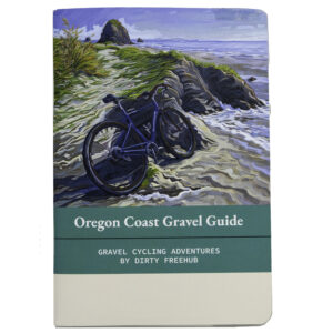
    Oregon Coast Gravel Guide (Collector’s Edition!)

    $13.50
    An 80-page pocket-sized gravel guide. Featuring gravel routes, art, culture and local history. A one of a kind guide that…
    Add to cart

Explore Similar Routes:

Bird Watching Oregon Coast

Sign Up for the Dirty Freehub Newsletter

info@DirtyFreehub.org
Terms of Service Privacy EEO Policy Our Values
Dirty Freehub is 501(c)3 non-profit organization.
©2026 Dirty Freehub :: Website Design
Cleantalk Pixel

WHY WE’RE DIFFERENT!

Eight scouting rides. Two community rides. More than a dozen mapped variations.

We just published the McCool route—but getting it ready took time. We rode it again and again, tested multiple options, and refined every mile before publishing it.

That’s the Dirty Freehub difference: routes that are vetted, curated, and maintained. If you value that kind of fieldwork, please support Dirty Freehub with a donation.

Donate Today