
Catching Blue














Caution! We do not provide turn-by-turn directions in our GPX files. Those are auto-generated by your bike computer and are usually less than 70% accurate. Learn more.
For help loading a GPX file onto your bike computer, go here.
DownloadWhen We Like to Ride This
This route rides most of the year. It only climbs to an elevation of 1600 feet.
We love to get this route when it is misty along the slough, but gives way to broken clouds and sun at the top of Blue Ridge.
Terrain & Riding
The Terrain
The landscape around Coos Bay is defined by the transition from broad tidal estuary to steep, forested Coast Range. Along the bay, a network of tidal sloughs, salt marshes, mudflats, and freshwater wetlands creates a dynamic mosaic shaped by the daily tides, with eelgrass beds and marsh vegetation filling the lowlands. These sheltered waterways gradually give way to rolling hills and narrow valleys that rise east of town.
The surrounding hills are cloaked in dense temperate rainforest dominated by Douglas-fir, western hemlock, western red cedar and Sitka spruce, with sword fern, salal, evergreen huckleberry, and salmonberry thriving in the understory. The result is a ride that moves between open estuarine vistas and cool, shaded forest corridors, where the terrain quickly shifts from flat coastal wetlands to sustained climbs through the rugged Coast Range.
The Riding
The route begins on flat, fast, paved roads that follow Catching Slough. The road is two lanes with very little traffic, though there is no shoulder.
Once you reach the hills at ~ mile 9, the climbing begins. It starts on well-maintained, hard-packed gravel with a steady 6–8% grade before transitioning onto a paved logging road at a sharp left. Now, the real challenge begins.
You’ll immediately hit a brutally steep wall. It’s short—about 0.5 miles—but punishing. The opening 0.1 miles averages around 20%, followed by a brief reprieve before a longer pitch that holds between 10–15% to the summit.
At the top along Blue Ridge, you’ll be rewarded with peekaboo views west toward Coos Bay and the Pacific coast. From there, the route is mostly downhill on quiet paved logging roads, although a couple of short rollers remain.
As homes begin to reappear, you’ll know the descent is nearly over. Soon you’ll be back alongside Catching Slough, following the flat roads to the finish.
The Start
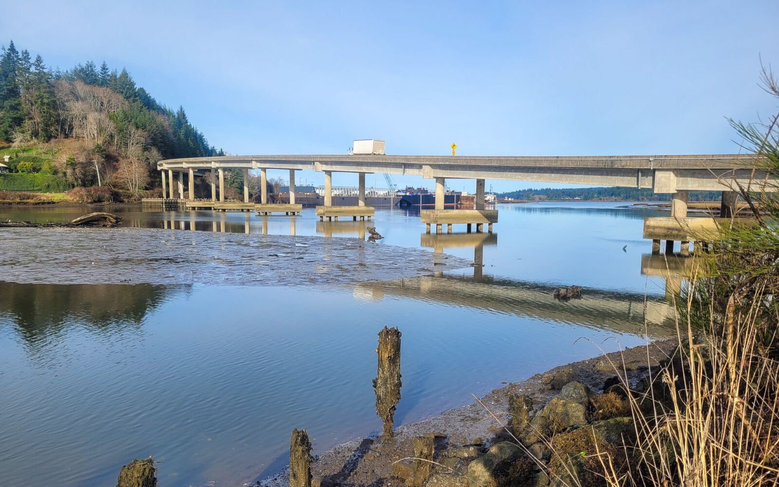
At the intersection of Coos River Highway and Catching Slough road. The gravel lot is on the south side of the bridge over Catching Slough.
Route Notes
We recommend red blinky light with rearview radar detector like a Garmin Varia, especially for section along sough. The traffic is light, but the road has is two-lanes with no shoulder.
This route is not technically demanding where good bike handling skills are required, but is has several extremely steep up and down pitches. Our technical rating of easier does not imply an aerobic demand rating of easier.
We have tagged this route as rural, and most of it is. There is a bit along Blue Ridge that feels more remote, but you are never far from a farm or ranch house.
This is almost a road ride, the gravel sector is short and hard-packed. Most cyclists will find 35 mm tires completely adequate.
Route Options
Longer
This longer option deviates from the main route at mile 13 and joins back into the main route just past mile 20. This option is 28 miles with 2800 feet of gain and 30% unpaved. At mile 16.2 there is a bit of tricky navigation. Follow the makeshift trail around the boulders and continue towards the north. Do NOT take the road south! This road goes downhill and dead ends. See the comments by Patrick in the Comments Tab.
- Route Map: Catching Blue (Longer option)
- GPX File: Download



Have you ridden this route? Got a question? Join the discussion!