
Giants Throwing Stones
This was impacted by the 2026 fires. See the Notes comment for more info.










Caution! We do not provide turn-by-turn directions in our GPX files. Those are auto-generated by your bike computer and are usually less than 70% accurate. Learn more.
For help loading a GPX file onto your bike computer, go here.
DownloadWhen We Like to Ride This
Mid spring through early summer when the wetlands are full of water and the flowers are in bloom.
Terrain & Riding
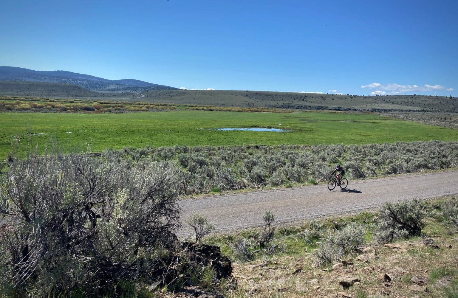
The route starts at the intersection of 3 gravel roads and one paved road, the road you most likely drove in on, Silver Creek road. Take the gravel road that heads west and quickly turns north, following Silver creek. In the spring the area is lush green and yellow and birds abound.
At mile 3 the route picks up and follows Sawmill creek northwest for the next 10 miles. At mile 7.5 make sure to stay left along the creek. This is NF 4540. (Some maps have this mislabeled as NF 45. )Silver creek continues north and you will recross it again at mile 19.
The upper regions of the Silver Creek watershed are forested; the most common plant species are coniferous, including Ponderosa Pine, White Fir, Douglas-fir, and Western Juniper. The lower regions are primarily desert rangelands.[8] [Wikipedia]
At mile 14.8, NF 4540 and NF 45 meet again. You will have climbed ~ 1000 feet and sit atop Corral Ridge. The route gently rolls for the next 3 mile until dropping abruptly down to cross Silver Creek (again!). As you begin to climb out, there will be boulders strewn about. This is the beginning of the “Giants Tossing Stones” section. We have never seen anything like this in Oregon before!
Just before mile 23, make a right turn onto a single lane paved road, this is NF 41. This is your road for the next 21 miles, rolling up and down with a net gain / loss of 0 feet, but you will have climbed in total 1400 feet. You will pass by Delintment lake and through Ponderosa and Western Juniper forests.
The lake originated as a series of beaver ponds along Delintment Creek, a tributary of Silver Creek. In 1940, the United States Forest Service combined and enlarged the ponds, and in 1953 local interest groups made further changes to improve conditions for fishing and other recreation. The dam that impounds the lake is 270 feet (82 m) long and 20 feet (6.1 m) high.[1] [Wikipedia]
At mile 44 the route turns right and back onto gravel. It is forested with a scattering of boulders and follows along Egypt creek. In about 4 miles, you enter a short, but spectacular canyon. Egypt Canyon. This will quickly give way to rolling open plains where you will most likely find cattle grazing. This section of road can be rough and gnarly. But soon, there will be wetlands to your right and then your car / truck.
The Start
Along the shoulder of Silver Creek road, where the road turns from paved to gravel. This is a 4 way intersection, all the other roads are gravel. No services.
Food & Water
- ~ Mile 24.5: At Delintment lake campground there is potable water. Seasonal. Check with the Forest Service.
Route Notes
We believe the fire damage is limited from the 2026 fires. Please let us know in the Comments section if ride the route and have a more current status. We would love photos and specific info by mile on the extent of the damage including closed roads or down trees.
When we rode this (May 2020), both gravel sectors had moderate to severe washboard in areas. We reduced our tire pressures to less than 20 psi and at the paved sector we re-inflated out tires (greater than 35 psi). Note, we run a tubeless set up with CushCore inserts.
Route Options
If you are looking for a longer route, you can construct several routes of varying lengths by picking elements of this ride along with Pink Lady and Egypt Canyon. For a composite overview, see this map.
Ridden and Reviewed by:



Have you ridden this route? Got a question? Join the discussion!