Owl Head


Caution! We do not provide turn-by-turn directions in our GPX files. Those are auto-generated by your bike computer and are usually less than 70% accurate. Learn more.
For help loading a GPX file onto your bike computer, go here.
DownloadWhen We Like to Ride This
- When we are short on time but looking for a great ride close to Tucson.
- In the winter, on a cool day. The route is relatively flat, so no big uphills to get you all sweaty and no long downhills to chill your bones.
Terrain & Riding
Miles 1 to 4.5 / Canal Riding / Gravel Road
Follow the canal on the east side using the dirt access road.
Miles 4.5 to 6 / Hard-packed and Fast / Gravel Road
Here we found hard-packed, fast riding. The mountains to the east (slightly south) are the Silver Bells. For more information on the area, check out the Silver Bell route.
The Silver Bell Mountains are home to the Ironwood Forest National Monument as well as a highly productive mine owned by Asarco. The site is used to extract copper and molybdenum from these rocks, minerals which help to enable advanced technology, like smartphones. [Discover Marana]
Miles 6.5 to 9.5 / Amongst the Cactus / Gravel Road
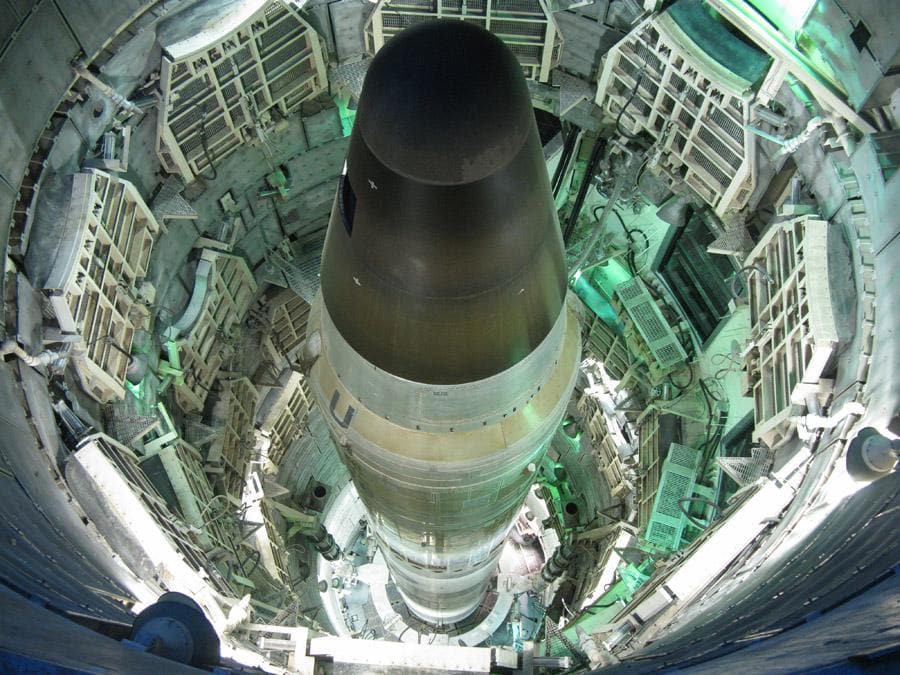
At mile 7.1, take a quick right onto Missile Base Road [paved]. Directly in front of you is one of the last remaining Titan II missile bunkers from the Cold War era. [For a more in-depth look at the history of the Titan II program, check out the Titan Missile Museum.]
Buried 60 feet underground and encased in four feet of concrete and steel, the bunker was designed to withstand a direct nuclear missile strike! Able to launch from its underground silo in just 58 seconds, the Titan II was capable of delivering a 9-megaton nuclear warhead to targets more than 6300 miles away in about 30 minutes.
The silo became operational in 1963 and was deactivated in 1982 as part of President Reagan’s policy of decommissioning the Titan II missiles as part of a weapon systems modernization program. All operational Titan II silos throughout the country were demolished, including 17 sites by Davis-Monthan AFB and Tucson, except the one in Sahuarita / Green Valley area that remains a national museum.
Approximately 6,000-square-feet below ground, the bunker cost $55 million to build in the 1960s. [Real Estate Daily News]
Quickly make a left onto a gravel / dirt road. The next several miles wind between saguaro and cholla cactus and past mesquite and palo verde trees. The road appears to be the access to several ranches and hobby farms.
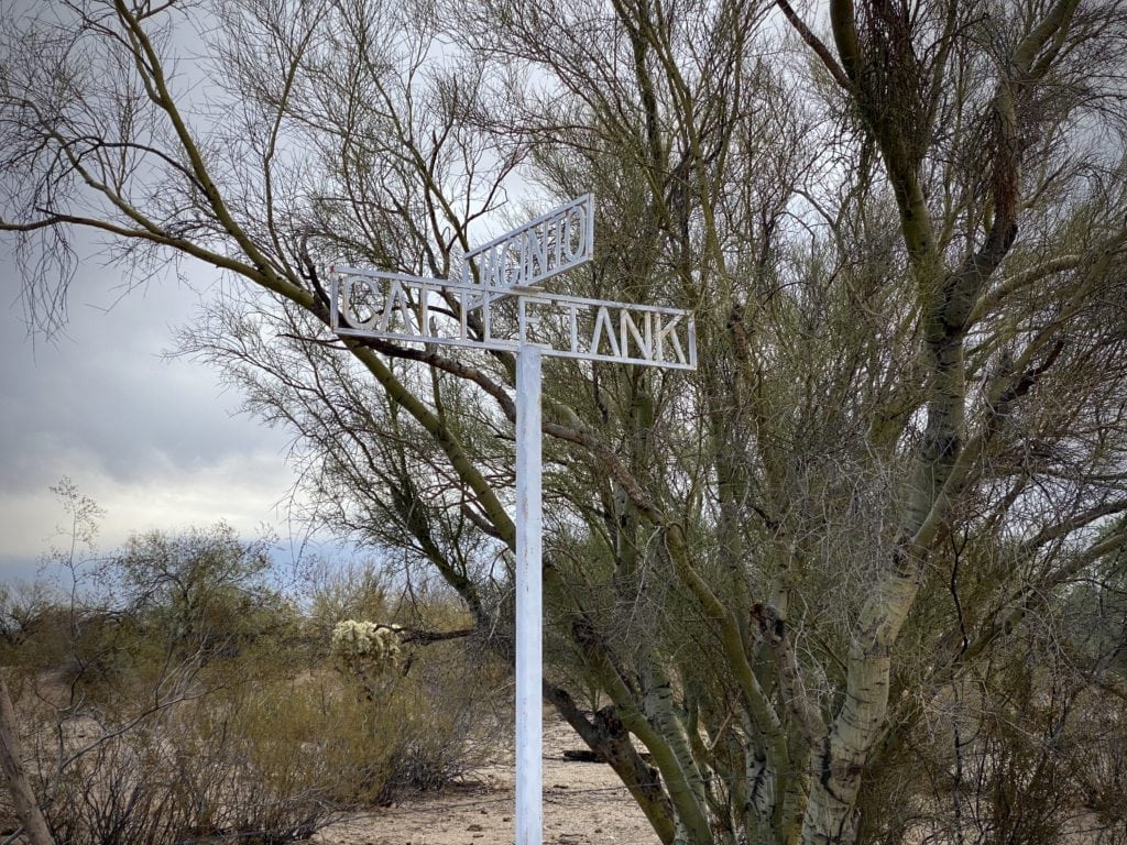
At mile 8.5 make a left onto Cattle Tank road [gravel]. The scenic desert beauty continues.
Miles 9.5 to 14.5 / Small Rollers / Paved Road
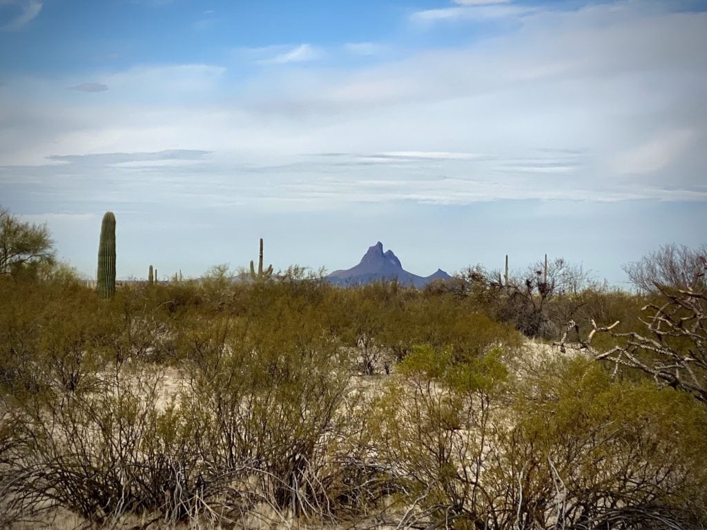
At mile 10.2, connect with the paved portion of Cattle Tank road. The next 5 miles are a series of small paved rollers with a slight upward trend. To the northwest is Picacho Peak.
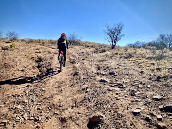
Miles 14.5 to 18 / OHV Trail / Dirt Trail
This next section is just a blast! Zipping around cactus all the while looking at Owl Head Buttes to the west. The trail / road is just wide enough for a car and, for the most part hard-packed. As you near the end of the segment, there is a gate to pass through.
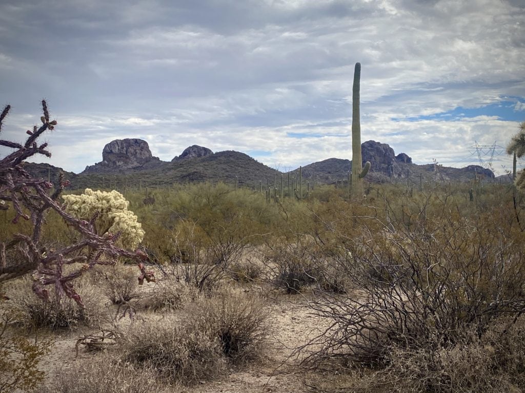
Miles 18 to 25 / Owl Head Road/ Gravel Road
The next miles are scenic and fast. It is pure Sonoran desert; there is little evidence of the homesites nearby except the occasional dirt driveway. You are drawn in close to the buttes, and then they gradually slip away as you pedal along a straight rolling dirt road. Just before mile 26, the texture changes. The road is tinted white, with some embedded rock, and it meanders up a hill and then down through a wash.
Miles 25 to Finish / Carpenter Ranch Road/ Gravel Road
At mile 25, make a right onto Carpenter Ranch Road. The road is wide, slightly downhill, hard-packed, occasionally bumpy, and with light traffic. As the views gradually fade away, put your head down, up your cadence and speed, and grind it back to the finish.
Overall, this route delivered big for something so close to Tucson!
The Start
San Lucas Community park.
Food & Water
- None
Route Notes
Part of the route is on Arizona State Trust Lands. For access a permit is required. We strongly encourage you to do the “right thing” and purchase a permit. The fee is nominal.
As of September 2022, we changed the start of the route to avoid the heavy sand. There is also a bail-out point at ~ mile 15 to avoid the OHV trail. Lastly, there has been some discussion that the route may ride better in the opposite direction, but the views may be less impressive. If you give that a go, please let us know what you think.
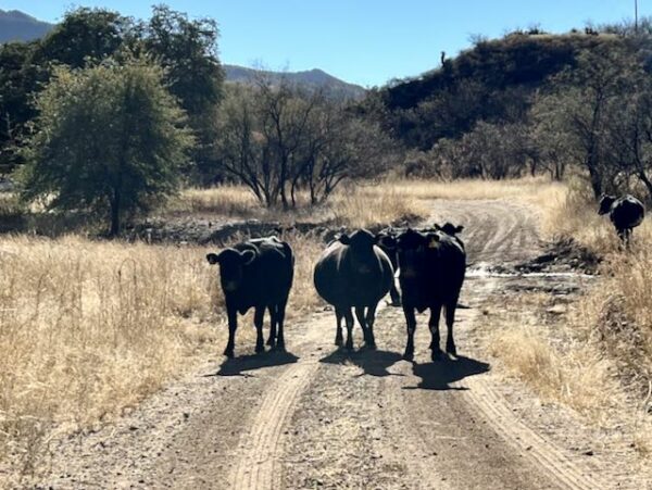
Be on the lookout for cows, there is open grazing. To learn how to pass by cows safely (for you and them) check out our “Be Informed!” page about cows.
The route has light traffic, but we recommend a red blinky light.
Route Options
The OHV trail from miles 14.5 to 18 can be sandy and a difficult ride. An alternative is to continue north at mile 14.5, and at the T-intersection (~ 0.5 miles) go right on East Park Link Drive. At ~ mile 18, reconnect with the original route at Owl Head Ranch road. Go right (south).
- Route: Owl Head (Link Drive Option)
- GPX File: Download
Be Informed!
Ridden and Reviewed by:


 Behind every route is scouting, mapping, storytelling, and a whole lot of pedal power.
Have you ridden this route? Got a question? Join the discussion!