Cool & Shady


Caution! We do not provide turn-by-turn directions in our GPX files. Those are auto-generated by your bike computer and are usually less than 70% accurate. Learn more.
For help loading a GPX file onto your bike computer, go here.
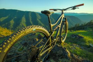
DownloadHighlights & Remarkable Spots
The Reservoir / Gravel (mostly) / ~ Miles 0 to 11
Head out directly south, with the reservoir to your right. The first mile is paved, then the road becomes gravel with a smattering of potholes. They are easy to miss and but also make for better cycling than driving experience. At first, the views of the lake are obstructed by the trees. But in the later miles, the views become more open and appealing.(Micro-video) In the early morning, this entire sector is shaded.
Willamette River / Paved / ~ Miles 11 to 27
At mile 10.7, make a left onto a 2-lane paved road [NF 21]. This sector is paved for its entire length, 16 miles. To your right will be the Middle Fork of the Willamette River. From the road, its beauty is mostly hidden. At mile 16.4 and 20.7, we recommend you make a short detour by going right. This will bring you to a bridge crossing and an unobstructed view of the river. We used these stops to get a drink or a bite of food.
This 16-mile sector has an average uphill grade of 1% resulting in an elevation gain of 1200 feet. Again, mostly in the shade from the forested canopy of trees.(Micro-video)
Swift Creek Climb / Gravel (mostly) / ~ Miles 27 to 37
As soon as you turn off NF 21 and onto NF 23, the road pitches up, marking the beginning of the real climb, a Category 1 climb. 2800 feet of gain in just under 10 miles, with 8 miles on gravel. The first 2 miles is a single lane paved road with turnouts. After that, the road is gray, hard-packed, with pea-sized gravel. The grade averages about 6% and stays between 4 to 6% almost the entire way.
To your right is Swift Creek. If you look carefully, you will get a couple of scenic glimpses of the creek. From your left, several small creeks will flow across and under the road: Chaco, Coulee Creek, Minnehaha, Baboon, and Moss Creek. At mile 31.5, in a small meadow, Swift Creek crosses under the road. Shortly after this, Forest Service road 2749 bears right. Stay left.
To this point, the climbing has been mostly in the shade cover of the trees. From here, though, you will need to dart to the left or right side of the road to find the shade. Even at noon, on August 1st, we were able to find shade cover.
At mile 34.5, make a hard right to stay on NF 23. The climbing continues. In a little over a mile, there is a flower-filled high alpine meadow, signaling that the summit is nearly in hand. Continue. Just before the summit, and just as you are leaving the meadow, stop and turn around. Boom! Diamond Peak. The best view of the day. The summit lies ahead by about 100 yards.
Hill Creek Descent / Paved (mostly) / ~ Miles 37 to Finish
Get ready to descend! The first 3 miles are gravel with big, sweeping views to the left. The grade is 8%.
Just before mile 40, the road returns to a single paved lane. The trees are big, giving nearly 100% shade cover. At mile 41, Hills Creek appears to your left. The descent is a zippy, almost brake free, but use caution. The road is sloughing off to the left in spots, there are some divots, the sightlines are limited, and you are popping through several brightly lit patches.(Micro-video)
As the road becomes wider and 2-lane, you are approaching the finish. Cut across the bridge and over the reservoir and smile!
When We Like to Ride This
This is a go to ride for us during the heat of summer. With an early 8 am start, this is a very enjoyable ride on a 90+ degree day. But, you still want an ample supply of water. For us, it was 70 to 100 ounces.
Terrain & Riding
Now before you pure gravel cyclists chide us for too much of the paved roads, we will be the first to admit that we almost called this route Oakridge Roadie. But it actually works out rather nice … there are two major paved sections. One is flat and let’s you fly along at superhero speeds. (Yes, I said flat which is hard to find near Oakridge!) And the second is a bombing downhill that drops 2,500 feet without hammering yourself on a gravel road.
The Start
At the makeshift dirt pull out on the south side of the Hills Creek Crossing bridge. At the intersection of NF 2118.
Food & Water
- None.
Route Notes
We recommend a red blinky safety light as you will encounter traffic on the paved sectors, especially on a weekend. We particularly like those lights with a rear looking radar.
Love Where You Ride! Learn More
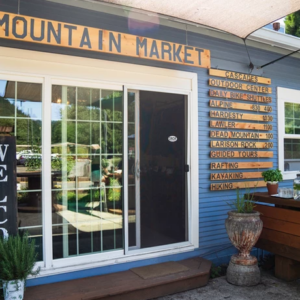
 If you’re looking for a bike shop, consider Oregon Bike Shop and Willamette Mountain Mercantile.
Keep it Local! Learn More
Ridden and Reviewed by:


 Behind every route is scouting, mapping, storytelling, and a whole lot of pedal power.
Have you ridden this route? Got a question? Join the discussion!