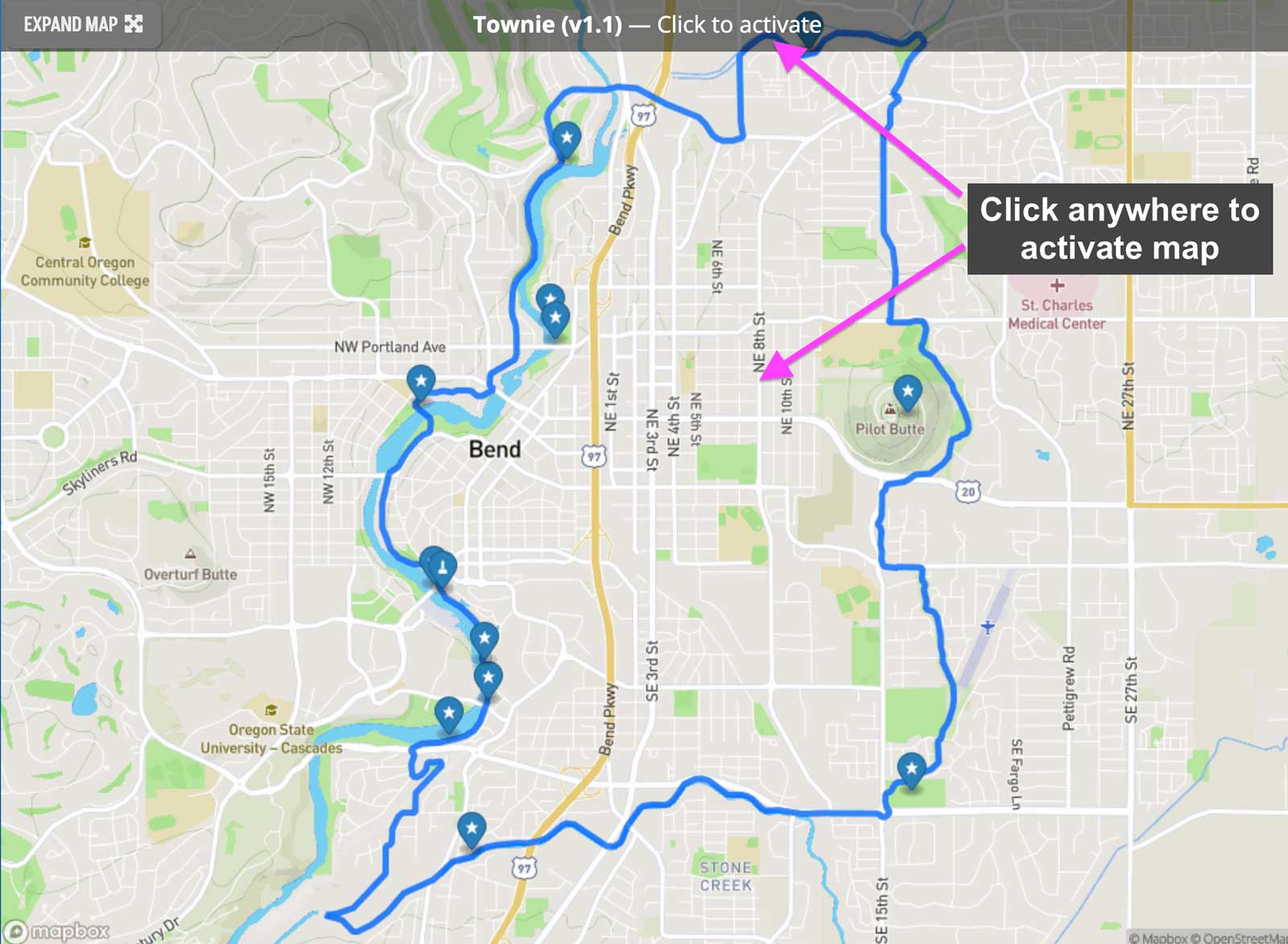
We are in the process of transitioning to a new mapping platform called HD Map. Here is a quick introduction to the HD Map tools.
Click anywhere on the map to load interactivity and tools.
Note: maps are initially loaded as static placeholders.
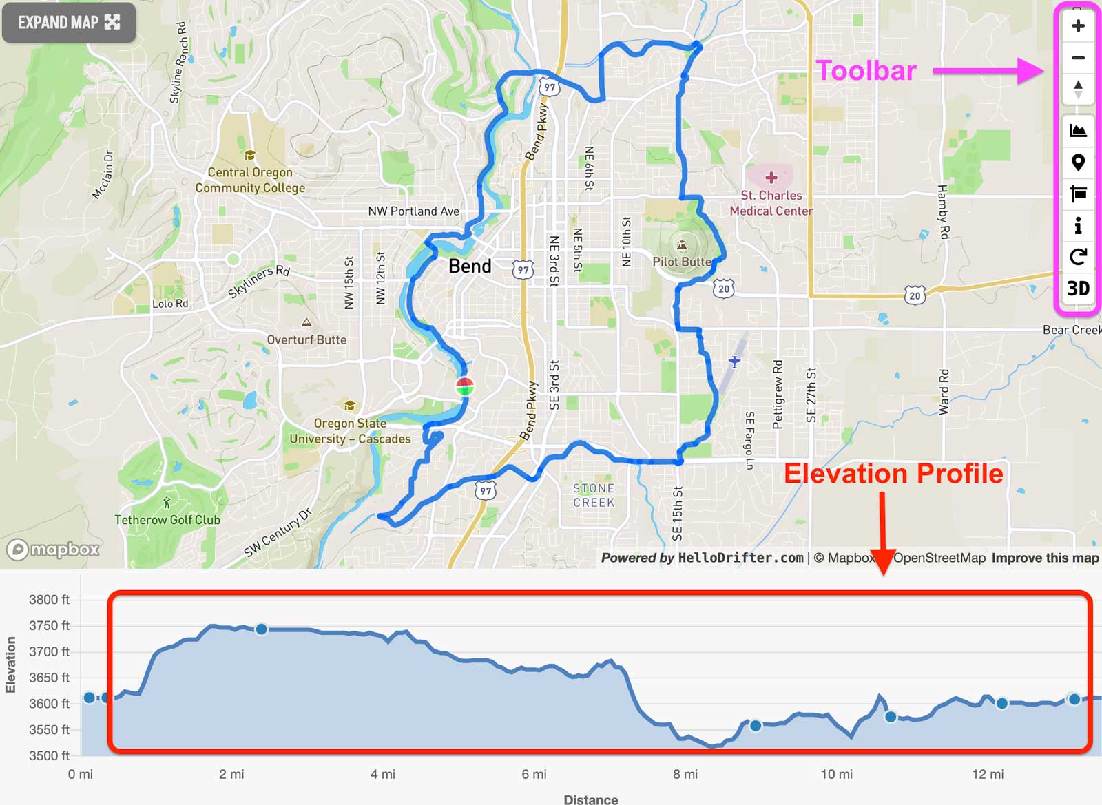
Tools for interacting with the map are in the toolbar at the top right of the frame and the interactive elevation profile is at the bottom.
Additional functions:
- The elevation profile at the bottom is interactive: You can click around to see the mileage, elevation, and grade at any point along the route.
- Click and drag on the map at any time to pan
- When 3D or the elevation chart is toggled to “on”, you can hold down the control key to pan and tilt the map in all directions.
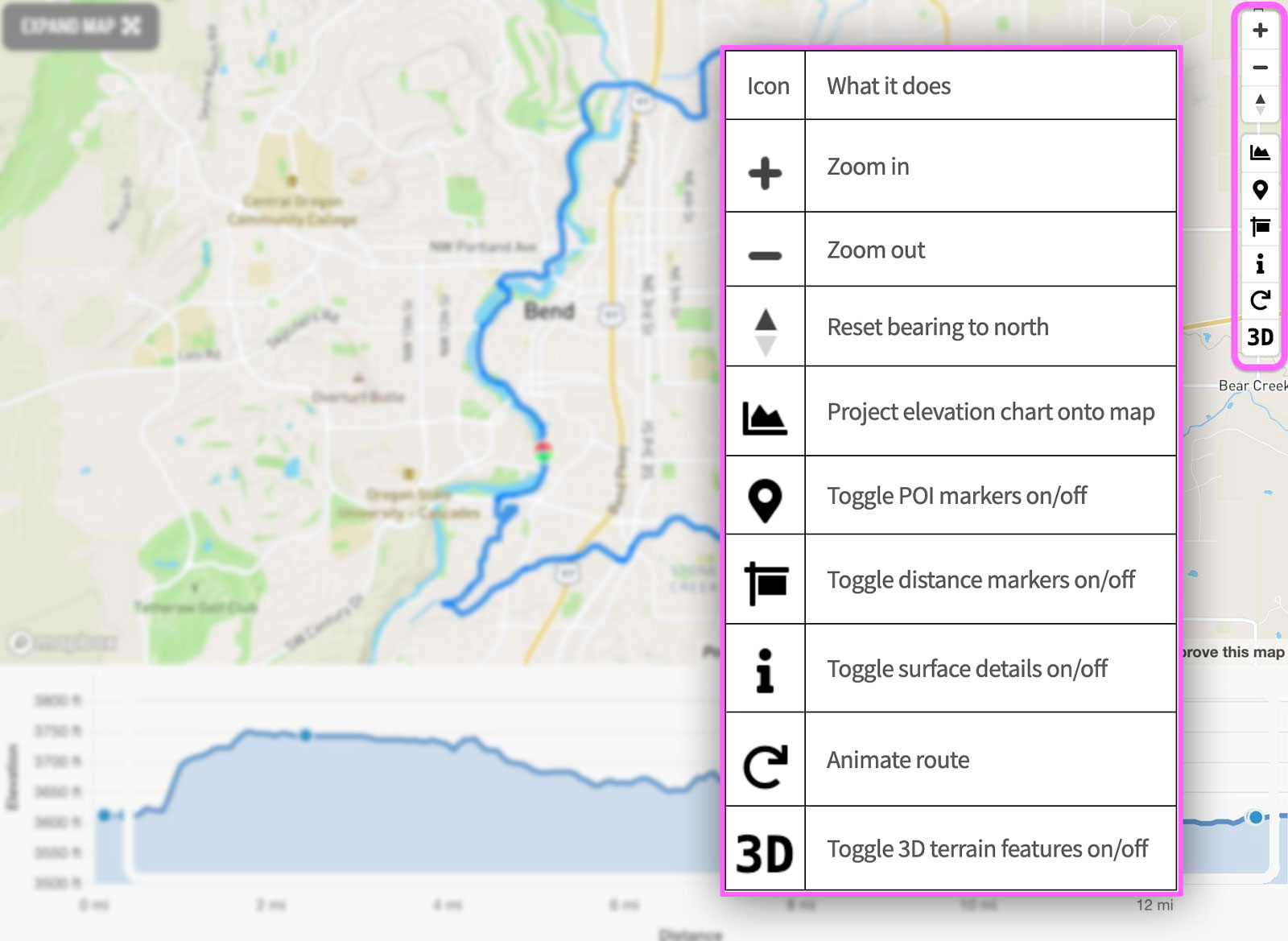
Interactive toolbar functions.
Experiment with these tools to change the map behavior and/or display.
Video example.
See the HD map in action.

 Behind every route is scouting, mapping, storytelling, and a whole lot of pedal power.