






Dirty Freehub
Favorites Sign In Search
  • Search
  • Donate
  • Gravel Rides
    • Explore by Region
    • Explore by Route Type
    • Explore by Collection
  • Programs
    • All Access®
    • Dirty Roads Crew
    • Gravel Champs
    • Passport Challenge
    • Route Stewardship
  • Stories
    • Bike Life
    • Culture & History
      • Central Oregon
      • NE Oregon
      • Bend Trails
      • Death Valley
    • People & Places
    • Lands
      • Arizona
      • Central Oregon
      • NE Oregon
    • Love Where You Ride
  • Events
    • Rides, Races & More
    • Submit Your Event
  • Help
    • Route Types
    • The Route Development Process
    • How We Rate Routes
    • Using the Searchable Map
    • Loading a GPX File
    • GravelPlex Maps
    • Glossary
    • FAQs
  • About
    • The Team
    • Our Missions
    • Impact Reports
    • Jobs + Volunteer
    • Press
    • Sponsors
    • Contact Us
  • Store
    • Gravel Guides
    • Merch
  • Donate
  • Cart
  • Sign In
  • Favorites

BEAST

Development Route / Oakland, California (North) / Published: Sep 2020 / Directions
Save to Favorites Remove from Favorites
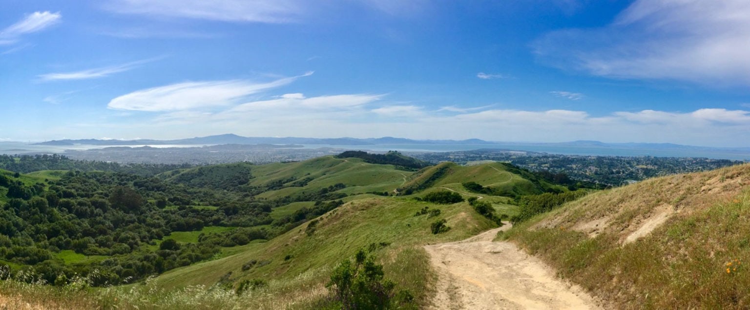
Views on gravel cycling route
Ridge top views ...
Views from gravel cycling in california
The bay from gravel cycling route in california
The bay.
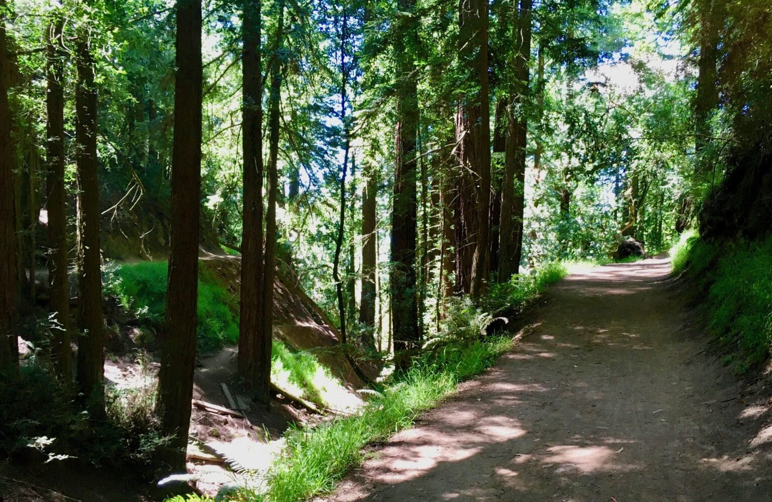
Trails on gravel cycling ride
The trails...
More trails on gravel cycling ride in california
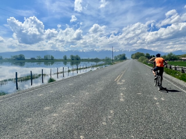
Road section of gravel cycling ride, road cycling ride, california
Some of the smaller roads ...
Road cycling and gravel cycling route in california
Paved cycling section on gravel cycling ride
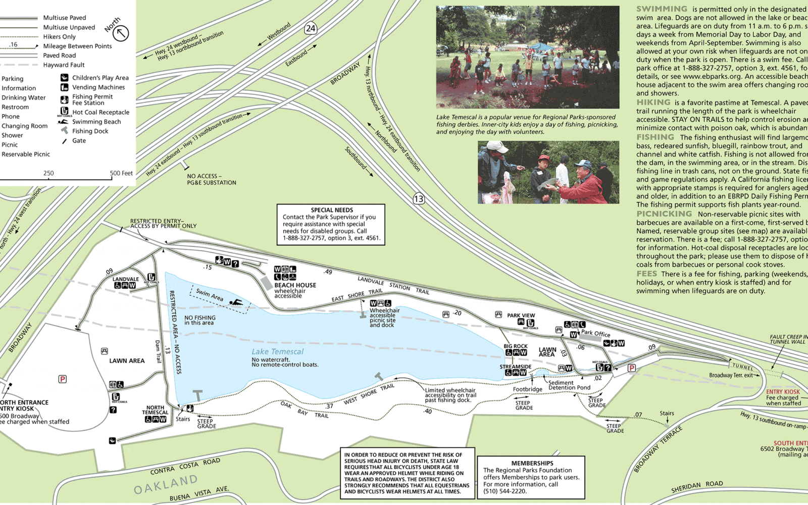
Temescal park map
Temescal park map.
*
Route:
Loop | 63 mi
*
Gain:
6,600 ft
*
Surface:
50% gravel/dirt, 50% paved
*
Technical Difficulty:
Moderate
*
Navigation:
Attention Required
*
Locale:
Rural
*
Tire Suggestion:
40 mm
*
Options:
---

“This is a super fun mixed terrain route with very few boring/junk miles and some of the best views in the bay. You’ll want solid gravel/cross handling skills in a few sections that are a touch MTB-ish. Approximately 50% gravel/dirt, with a majority of the climbing on gravel/dirt. Wide variety of riding, from tarmac to fire road to singletrack. Lots of shade. Lots of ridge riding. A couple of steep technical descents, and several steep non-technical.

Where does the name BEAST come from, you ask! Bits of Eastbay Awesomeness Strung Together.

Read More
Map
Brown = gravel / dirt road
Blue = single track
Red = paved road
Purple = paved bike path
GPX Download
(Version 1.0)

Caution! We do not provide turn-by-turn directions in our GPX files. Those are auto-generated by your bike computer and are usually less than 70% accurate. Learn more.

For help loading a GPX file onto your bike computer, go here.

Download

⚠️ GPX download won’t work in this browser

You’re viewing this in Facebook’s built-in browser, which blocks GPX file downloads. To download the file, use either of these options:

  • Tap the ••• (or ≡) menu in the top corner of the screen and select Open in External Browser.
  • Open the route guide directly in Chrome or Safari.

Once the route guide is open in your browser, tap the GPX Download button again.

Got it
Learn More

Credits & Acknowledgements

SilasP of the Bay Area submitted this route in 2020.

Ride Details

When We Like to Ride This

On a sunny day when the views are big!

Terrain & Riding

Bring food and water; there’s very little out there. Consider a camelbak. You’ll probably want 35+ tires with some knobs on a cross or gravel bike. A hardtail MTB wouldn’t be wrong, just slower on the road. Turn by turn directions recommended if you aren’t familiar with the trails.”

The Start

Lat / Long: 37.847872, -122.233103

Temescal Regional Recreation Area. This is a fee area. (An alternative start is at the Rockridge BART station at the intersection of College Ave and the Grove Shafter Freeway [24] at mile 61.5.) (Alternative start: 37.844545, -122.251872)

Food & Water

  • None.
Notes & Options

Route Notes

  1. We strongly recommend a red blinky light as this is an urban gravel ride.

  2. We recommend at least a 40 mm tire, anything less will make some of the descents quite challenging.

Route Options

With a bit of creative mapping, there are a number of ways to shorten this route.

Comments

Have you ridden this route? Got a question? Join the discussion!

Explore Similar Routes:

Ghosts

Sign Up for the Dirty Freehub Newsletter

info@DirtyFreehub.org
Terms of Service Privacy EEO Policy Our Values
Dirty Freehub is 501(c)3 non-profit organization.
©2026 Dirty Freehub :: Website Design
Cleantalk Pixel

Tell Us How We’re Doing

Gravel rider on a rural Dirty Freehub route

From ride guides to rural economies — your answers shape what we do next.

Do our guides match reality? Do you trust what we publish? And when you drive to ride, how much does that trip put into the small towns along the way? Your answers help us improve — and help us prove gravel cycling’s real value to rural communities.

Ten minutes, confidential if you’d like, and it sets our direction for 2027.

Take the Survey