Galisteo Basin


Caution! We do not provide turn-by-turn directions in our GPX files. Those are auto-generated by your bike computer and are usually less than 70% accurate. Learn more.
For help loading a GPX file onto your bike computer, go here.
DownloadHighlights & Remarkable Spots
Galisteo Basin Preserve / @Start
The Preserve is a model of stewardship-based community development —one that employs best practices of low-impact land development, environmental protection, habitat restoration, and recreation access. However, it was a “rocky road” to realization. Learn more.
Galisteo Basin remains a “sacred” place. It has been continuously occupied by a diverse collection of peoples and cultures since pre-historic times. The earliest known humans to inhabit the area were Paleo Indians who arrive as early as 7500 to 6000 B.C.
Santa Fe Rail Trail / ~ Mile 8.3
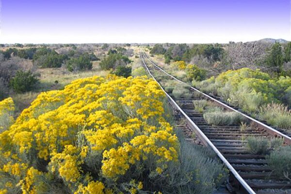
The Santa Fe Rail Trail is a multi-use trail that follows the old Atchinson, Topeka and Santa Fe Railway line. It is a part of a trail system in Santa Fe, New Mexico beginning at Santa Fe’s Railyard Park. In Lamy, there is a historic century-old depot that was built in 1909. The passenger station still stands today and serves as a brewery in addition to operating as a train depot for the Amtrak line.
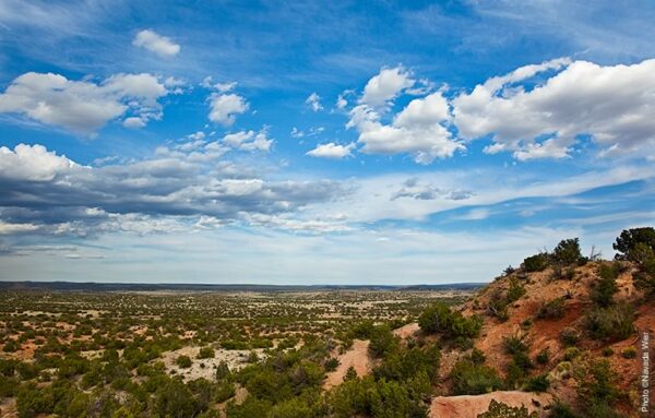
Eliza's Overlook / ~ Mile 17.7
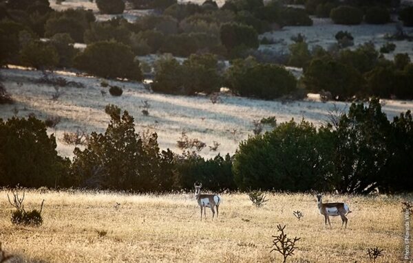
From this overlook, you will see gently rolling hills, piñon and juniper forest, short-grass prairie, and meandering streams; all part of the larger Galisteo Basin Watershed, 730 square miles just south of Santa Fe that lies across 3 counties. The Galisteo watershed serves as a wildlife linkage for cougar, black bear, and mule deer between the Southern Rockies and New Mexico Highlands.
When We Like to Ride This
Spring and Fall, when the temps are around 65-80 F. Riding soon after it rains or snows is not recommended.
Terrain & Riding
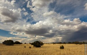
The trails are mostly fast, flowy, and smooth desert single tracks. However, expect to encounter a number of sandy arroyo crossings, whoops, a few rock gardens and drop-offs. All doable on a gravel bike if technically skilled. Regardless of trail choice, you are always rewarded with amazing views and plenty of desert solitude.
The Start
Cowboy Shack is the most popular and central trailhead.
Food & Water
- None
Route Notes
Click here for a PDF trail map of the Galisteo Basin.
Route Options
There are 2 optional exploratory Rides to choose from:
- Santa Fe Rail Trail – From Rockin’ Angie East (Coordinates: 35.48960, -105.91572). Ride North for .24mi, on an unsigned spur trail. Cross New Moon Overlook gravel road and continue riding until you come up to a railroad track. Caution crossing this active Santa Fe to Lamy railroad track. Find the Santa Fe Rail Trail on the other side of the tracks (35.49313, -105.91705). Take a left and you will ride about 11 mi to the end of the gravel path at Rabbit Road. From there you can continue riding the paved section of the Rail Trail for another 5 mi to downtown Santa Fe. If you take a left at the Rail trail you will come to the end of the trail and SR 285 in .5 mi.
- Historic Lamy Train Station – From Cowboy Shack Trail. Follow the main gravel road that you drove in (Morning Star Ridge Road to Astral Valley Road) for 1.2mi to SR 285. Take a left on SR 285. In .6 mi take a right on County Road 33C to the little town on Lamy and the home of the Santa Fe Southern Historic Railroad Station build in 1909.
Love Where You Ride! Learn More
 The Galisteo Basin Preserve is 10,000 acres of sculpted arroyos, craggy sandstone formations and vast savannah grasslands … a place of refuge and sustenance for wildlife and people.
A geography of hope. A place of renewal. Learn more about this unique project that had a difficult start.
Videos
Galisteo Basin
A beautiful visual tour of the Galisteo Basin.
Keep it Local! Learn More

Ridden and Reviewed by:
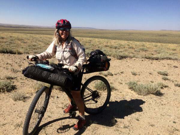

 Behind every route is scouting, mapping, storytelling, and a whole lot of pedal power.
Have you ridden this route? Got a question? Join the discussion!