Dirty Freehub
Favorites Sign In Search
  • Search
  • Donate
  • Gravel Routes
    • Explore by Region
    • Explore by Type
    • Explore by Collection
  • All Access®
  • Stories
    • Bike Life
    • Culture & History
      • Central Oregon
      • NE Oregon
      • Bend Trails
      • Death Valley
    • People & Places
    • Lands
      • Arizona
      • Central Oregon
      • NE Oregon
    • Love Where You Ride
  • Events
  • User Guide
    • Route Types
    • How We Rate Routes
    • Using the Map
    • Loading a GPX File
    • Glossary
    • FAQs
  • Inside DF
    • The Team
    • Our Missions
    • Impact Reports
    • Press
    • Sponsors
  • Store
    • Gravel Guides
    • Merch
  • Donate
  • Cart
  • Sign In
  • Favorites

Bella Coola

Development Route / Bella Coola, British Columbia / Published: Apr 2025 / Directions
Save to Favorites Remove from Favorites
*
Route:
Point to Point | 78 mi
*
Gain:
7,400 ft
*
Surface:
40% gravel, 60% paved
*
Technical Difficulty:
Very Demanding
*
Navigation:
Straightforward
*
Locale:
Remote
*
Tire Suggestion:
45 mm+
*
Options:
Shorter, Longer, Credit Card Tour

“The Hill” on Highway 20 in British Columbia is a legendary stretch of road that ascends steeply from the Bella Coola Valley to the Chilcotin Plateau. Climbing nearly 4,000 feet in just 12 miles, it features sharp switchbacks, narrow lanes, and dramatic views—often without guardrails. Completed in 1955 by local volunteers, this rugged section is both an engineering feat and a test of nerves, earning its reputation as one of the most challenging and scenic roads in the province.

—

This route guide is currently published as “In Development“. We are working to develop more detailed and accurate information.

If you do this ride, please give us feedback on what you find. You can do so in the Comments block. And … we would love to receive pictures!

Read More
Map
Brown = gravel / dirt road
Blue = single track
Red = paved road
Purple = paved bike path
GPX Download   Version 0.1

Highlights & Remarkable Spots

"The Hill" / ~ Miles 41-62

Bella Coola The Hill Volunteers via Global News

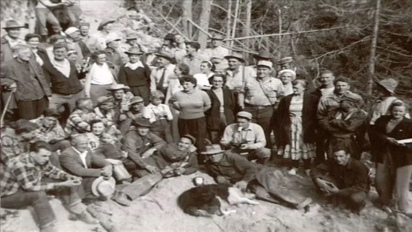
“The Hill” on Highway 20 is a steep and winding gravel road connecting Bella Coola to the interior of B.C. Completed in 1955 by a team of local volunteers, the story behind the construction of this section of road (known as the “Freedom Road”) is one to read before embarking upon it.

Ride Details

When We Like to Ride This

The warmest months for interior British Columbia are June through August. Expect rain any time of the year. The ferry from Vancouver Island runs seasonally mid-June through mid-September.

Terrain & Riding

We expect flat-ish riding for the first 40 miles out of Bella Coola before approaching “The Hill.” The steepest portion of this ride is also the gravel portion. Once you’ve reached the Chilcotin Plateau, you should see the landscape open up and reflect high elevation forests rather than the lush coastal valley where you started your journey.

If you choose to do this as an out and back two-day adventure, know that the hill that you climbed you now must descend. Make sure those brakes are in good working order!

We need your input! We have found conflicting information on how long the gravel section is. Sources on the internet state that “as of 2019, all but 26 miles of Highway 20 have been paved.” But, we’ve also seen photos and comments that the gravel section is nearly 40 miles long. Please leave a comment so that we have correct and up-to-date information.

Notes & Options

Route Notes

  1. Getting into and out of this region is a logistical adventure!

    • Bella Coola is accessible by ferry from Port Hardy on the northern tip of Vancouver Island via BC Ferries. Approximately a 10 hour journey, bicycles are included in your foot passenger fare. Be sure to read the FAQ’s about bringing your bike aboard.
    • Anahim Lake has an airport with daily flights to Vancouver on Pacific Coastal Airlines. There are flights every other day from Bella Coola to Anahim Lake, so if you want to skip the climb and work your brakes on “The Hill,” then flying into Anahim Lake and riding back to Bella Coola is an option.
  2. If you choose to do this as a 2-day out and back ride, there are a few good lodging options. Check out Visit Bella Coola for loads of information on lodging, restaurants, and things to do in the Bella Coola Valley.

    • In Bella Coola, Eagle Lodge offers a nice location for starting your ride. If you prefer to be in town, Bella House is centrally located in Bella Coola, close to grocery stores and restaurants.
    • Great Bear Chalet is located at the bottom of “The Hill,” and offers all-inclusive wilderness adventures including meals, airport shuttles, and professionally guided bear tours.
    • In Anahim Lake, Red Caribou Lodge and Eagle’s Nest Resort both offer cozy accommodations.
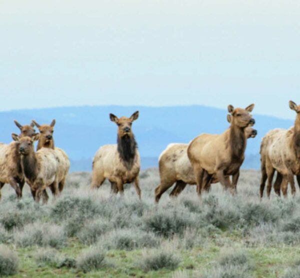
  3. This is grizzly bear country! Be sure to pick up some bear spray in the town where you start your journey.

Comments

Have you ridden this route? Got a question? Join the discussion!

Help Make this Guide Better!

This route guide is a work in progress—and we need your help to make it great.

If you’ve ridden all or part of this route, your insights are invaluable. Let us know where you stayed (campgrounds, hotels, etc.), where you grabbed food (restaurants, convenience stores), and what challenges you faced on the trail. The more detail, the better.

We’re also looking for photos! Scenic shots, tricky sections, campsites—anything that brings this route to life.

Leave your feedback in the comments below—and if you can, please consider donating. Together, we can keep this adventure rolling.

Love Where You Ride! Learn More

Bella Coola is Nuxalk Territory. As a guest in this First Nations territory, you are asked to abide by these four protocols: 1) Respect All Beings. 2) Ask Permission First. 3) Take Care of the Land and Each Other. 4) Be Happy.

Videos

World’s Most Dangerous Roads

Far out in the "Wild West" of Canada lies Bella Coola. If you want to get to the small town on the Pacific, there is only one road leading there. It is constantly monitored and yet remains dangerous. Gravel roads, narrow hairpin bends and steep mountain slopes make the highway in British [...]

Podcasts

Camping with Bears and Cycling on Wet Trails - Your Questions Answered (Part 3)

Bikepacking in bear country, what should you do with your gear that will attract bears? Wet trails, what are the best practices for Leave No Trace? Kait Boyle from Bikepacking Roots returns to answer more of your [...]

Be Informed!

Wildlife Impact

Wildlife Impact

Learn about the impact we have as gravel cyclists on wildlife. And yes, we have an impact, more than we think or see.

Read More »

Sign Up for the Dirty Freehub Newsletter

info@DirtyFreehub.org
Terms of Service Privacy EEO Policy Our Values
Dirty Freehub is 501(c)3 non-profit organization.
©2025 Dirty Freehub :: All Rights Reserved :: Website Design
Cleantalk Pixel

We Need Your Support!

Dirty Freehub is a 501(c)3 nonprofit funded by generous donations from riders like you!

  • $25 Keeps the lights on (web hosting, technology tools, insurance, etc.)
  • $50 Keeps lights on + up to date route conditions
  • $100 Continued route development
  • $200 Fully documented route guide
  • $200+ Gravel Girl giggle of gratitude

Donate Today