Montezuma el Grande

When We Like to Ride This
Late fall to early spring when the skies are clear and the temps are moderate. We would avoid this route in summer. It is very exposed to the sun. Wind could also make this route brutal.
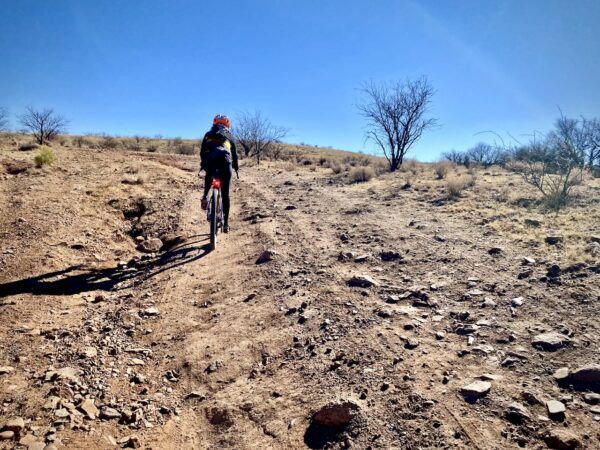
Terrain & Riding
George’s general thoughts on the route are that “all of the roads are in great shape and non technical. The roughest part of the ride was heading down the back of the pass from Montezuma. While pavement (~ a 12 mile section) isn’t always my favorite part of a gravel ride, we had a great time on that section. The paved road is fast, rolling, fun corners and very low traffic. The total vert on the ride definitely sneaks up on you. It only felt like we took in two good climbs (front and back of Montezuma) but the rollers out there are endless so you are on the pedals a lot during the ride.”
The Start
Coronado National Memorial visitor center. Flush toilets, water.
Food & Water
- ~ Mile 17: Parker Canyon Lake and Marina general store (seasonal).
Route Notes
Riding in the desert southwest is often very different from riding in Colorado or Oregon, with terrain that is noticeably more rugged and challenging. For tips and advice, check out our Resource Page: Riding in the Desert Southwest.
Most of the gravel roads in the San Rafael Valley are hard-packed and fast. However, over the last 5 to 7 years the roads (as most in southern Arizona) have become more rugged due to increased vehicular usage. Thus, our tire recommendations have changed to 50 mm+.
The area is actively patrolled by Border Patrol. As a general rule, when we come across Border Patrol for the first time in the day, we stop and ask if “there’s anything we should be aware of” and we also give them our route.
At ~ mile 17 water and food can be found at the Parker Canyon Lake and Marina general store (seasonal). At the intersection with Highway 83 (paved) go left towards the lake instead of going right. This will add ~ 1 mile.
Route Options
Ride Direction
This route rides equally well in both directions and for some, the counter clockwise direction may make more sense as the water stop comes later in the ride.
Be Informed!

Have you ridden this route? Got a question? Join the discussion!