Playa Ponderosa


Caution! We do not provide turn-by-turn directions in our GPX files. Those are auto-generated by your bike computer and are usually less than 70% accurate. Learn more.
For help loading a GPX file onto your bike computer, go here.
DownloadWhen We Like to Ride This
This route should be ideal from April through September. Spring can be spectacular when the lake has water and the colors are vibrant.Raymond County park. Flush Toilets. Water.
Terrain & Riding
The route begins on Forest Road 700, it winds along an abandoned railroad that was constructed in the late 19th century and in service for nearly 100 years until it was abandoned in 1966 for the convenience of hauling logs by truck using Forest Highway 3 (Lake Mary Road). The railroad was used to haul trees from the Mund’s Park area to timber mills in Flagstaff and even to this day you can still see evidence of the trade along the route. This pristine gravel road begins just outside of Kachina Village off Mountainaire Road and heads south for about 15 miles before coming to an end at the intersection of Forest Road 240. The road is smooth and relatively flat, a pure joy to traverse through the towering and dense Ponderosa Pines.
Much of FR 700 parallels or crosses sections of the railroad bed. Starting around Mile 5.5, you’ll begin to notice these remnants on either side of the road, amid the mature ponderosas that shade the route. The most substantial of these remnants is at Mile 6.3. On the left is a 330-foot trestle that was built in 1934, then bypassed in 1943. What remains is essentially a large pile of rocks and timber — one that’s impressive enough to be listed on the National Register of Historic Places. [Arizona Highways]
Go left, heading east, on FS 240. This will take you to Mormon Lake, the largest natural lake in Arizona, at this point you can take an optional side quest around Mormon Lake which will add approximately 10 miles of road to the route. Otherwise, take the 90 north to Weimar Springs Road [FS 132] and head back into the woods. Weimer Springs Road offers more lovely gravel. At mile ~ mile 34 onto the more primitive Fired Road 556 heading back to FS700. You’ll be back to the start in no time!
Mormon Lake is the largest natural lake in Arizona… sometimes. During droughts it’s frequently not so large, and not so much a lake. Occasionally it’s even bone dry.
Wet or not, this has an excellent overlook where you can often see wildlife and birds across the lake’s landscape. There is also a picturesque little resort on the lake’s western shore where you can rent recreational equipment such as mountain bikes, horses to ride, snowmobiles and cross-country skis in season. Or you can drop in at the Mormon Lake Lodge, a famous cowboy steak house where the brands of local ranches are burned into the log walls. [US Forest Service]
The Start
Raymond County park. Flush Toilets. Water.
Food & Water
- ~ Mile 20.5: Go right on Mormon Lake Road to Mormon Lake Lodge, they have a convenience store with water, gatorade, etc. It is about 2.5 miles out of the way (one-direction).
Route Notes
40 mm tires are more than adequate for most of the route. There will be a bit of challenging chunk on Fire Road 556 for 4.5 miles.
I recommend a red blinky light as there is some traffic along the route, especially if you do the longer option.
You may encounter logging activity on the route. Our strategy is to stop, wave, and let the big trucks pass by safely.
This has become quite a popular road for OHV travel and you will likely cross paths with more than a few during your travels. I recommend riding with a mask or neck gaiter to minimize dust inhalation.
The roads are beautiful and smooth.
There are a number of turns, a wrong turn to the south can put you deep into the National Forest.
The area is at the urban / rural boundary of Flagstaff. Most of the ride has cell phone access.
Alternative Start:
Dirt pull out at the start of FS 700. This avoids the Kachina Village congestion, but has no restroom facilities.
Lat / Long: 35.088948, -111.682957
Route Options
There is an optional side quest around Mormon Lake that will add about 10 miles and 300 feet of gain bringing the total to 54 miles and 2700 feet. I believe this could be a beautiful addition to the route, but I did not have time to fully investigate this option. I have mapped it out such that the route uses a primitive dirt road along the east side of the lake up to the Highway 3 viewpoint. Somewhere near the viewpoint, you will need to “hike a bike” up to the highway. (I did not scope this out!) If you continue along the dirt road you will come to a fence and private property. Please respect private property rights.
If doing the longer route, I recommend the counterclockwise direction. It will make the turns on and off the Highway much easier. I have mapped it out this way. And … if you do this route, please leave a comment with what you found / experienced.
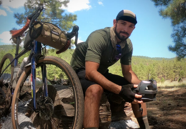
Ridden and Reviewed by:

 Behind every route is scouting, mapping, storytelling, and a whole lot of pedal power.
Have you ridden this route? Got a question? Join the discussion!